
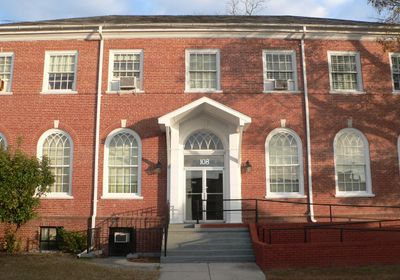
Robeson County Agricultural Building
Robeson County Agricultural Building, building in Lumberton, United States of America
Emplacement : Lumberton
Coordonnées GPS : 34.62280,-79.00920
Dernière mise à jour : 23 septembre 2025 à 15:26
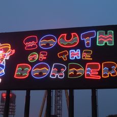
South of the Border
30.9 km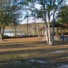
Jones Lake State Park
35 km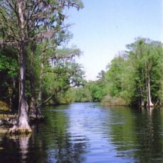
Lumber River State Park
25.8 km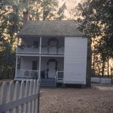
Harmony Hall
27.2 km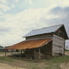
Smith Tobacco Barn
38.4 km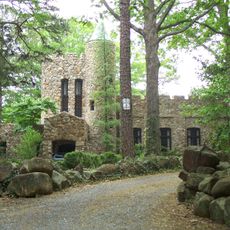
Gimghoul Neighborhood Historic District
32.4 km
Philadelphus Presbyterian Church
22.2 km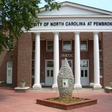
Old Main
19 km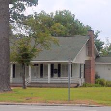
John Hector Clark House
35.8 km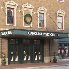
Carolina Civic Center
409 m
Rocky Ridge Farm Historic District
31.6 km
Big Rockfish Presbyterian Church
37.4 km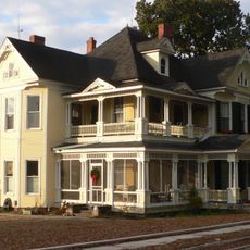
Luther Henry Caldwell House
150 m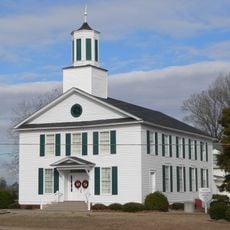
Ashpole Presbyterian Church
28.8 km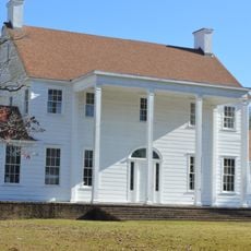
Dr. Evan Alexander Erwin House
35.6 km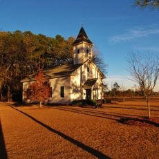
Centenary Methodist Church
26.5 km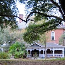
Hamer Hall
32.8 km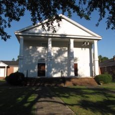
Cape Fear Baptist Church
35.6 km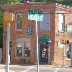
Hope Mills Historic District
39.2 km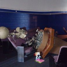
Robeson Planetarium and Science Center
4.6 km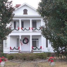
Alfred Rowland House
1.2 km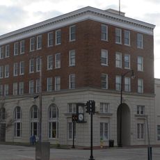
Planters Building
453 m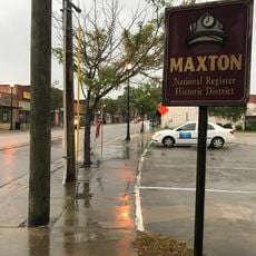
Maxton Historic District
33.6 km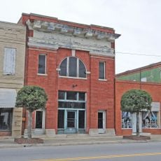
Rowland Main Street Historic District
27.7 km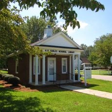
W.R. Surles Memorial Library
16.5 km
Trinity Methodist Church
37.2 km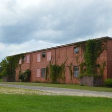
Bladen County Training School
35.8 km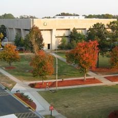
Givens Performing Arts Center
18.9 kmAvis
Vous avez visité ce lieu ? Touchez les étoiles pour le noter et partager votre expérience ou vos photos avec la communauté ! Essayez maintenant ! Vous pouvez annuler à tout moment.
Trouvez des trésors cachés à chaque coin de rue !
Des petits cafés pittoresques aux points de vue planqués, fuyez la foule et dénichez les lieux qui vous ressemblent vraiment. Notre app vous facilite la vie : recherche vocale, filtres malins, itinéraires optimisés et bons plans partagés par des voyageurs du monde entier. Téléchargez vite pour vivre l'aventure en version mobile !

Une approche inédite de la découverte touristique❞
— Le Figaro
Tous les lieux qui valent la peine d'être explorés❞
— France Info
Une excursion sur mesure en quelques clics❞
— 20 Minutes