
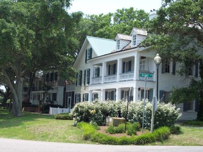
Southport Historic District
Southport Historic District, listed on the NRHP in North Carolina
Emplacement : Southport
Coordonnées GPS : 33.91920,-78.02030
Dernière mise à jour : 3 mars 2025 à 01:25
Fort Fisher
11 km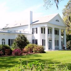
Orton Plantation
17.2 km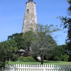
Phare de Bald Head
5.4 km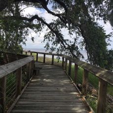
Brunswick Town
15.1 km
Phare de Oak Island
3.2 km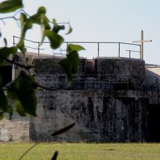
North Carolina Baptist Assembly
3 km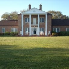
Fort Johnston
282 m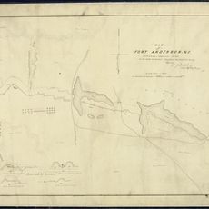
Fort Anderson
15.1 km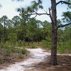
Parc d'État de Carolina Beach
17.8 km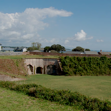
District historique de Fort Caswell
3.2 km
Fort Fisher State Recreation Area
9.2 km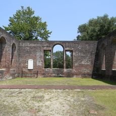
St. Philip's Church, Brunswick Town
15.2 km
Phare de Cape Fear
3.2 km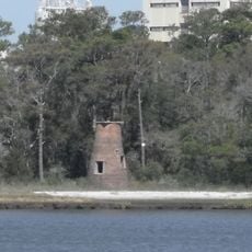
Phare de Price Creek
3.4 km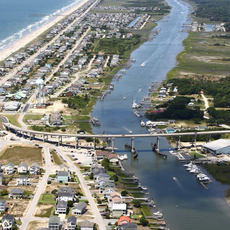
Holden Beach Bridge
22.8 km
Cameron Art Museum
31 km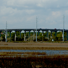
G. V. Barbee Bridge
4.8 km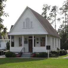
New Hope Presbyterian Church
25.8 km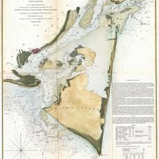
Corncake Inlet, North Carolina
7 km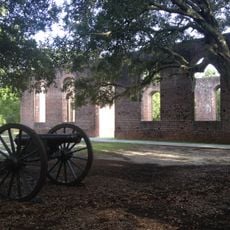
Brunswick Town Historic District
15.2 km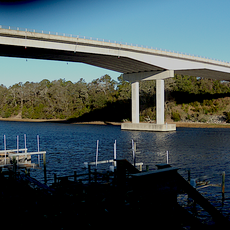
Swain's Cut Bridge
12.9 km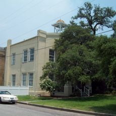
Brunswick County Courthouse
210 m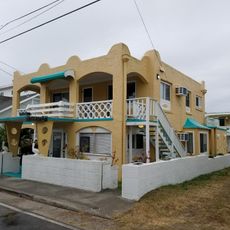
Joy Lee Apartment Building and Annex
17.7 km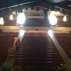
Hatch Auditorium
3 km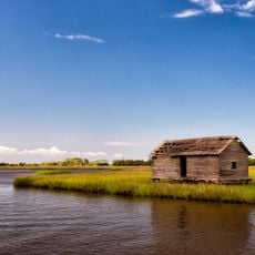
Bald Head Creek Boathouse
7.2 km
Brunswick Town/Fort Anderson State Historic Site
15.1 km
Old Brunswick County Jail
426 m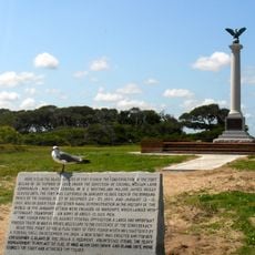
Fort Fisher State Historic Site
11 kmVous avez visité ce lieu ? Touchez les étoiles pour le noter et partager votre expérience ou vos photos avec la communauté ! Essayez maintenant ! Vous pouvez annuler à tout moment.
Trouvez des trésors cachés à chaque coin de rue !
Des petits cafés pittoresques aux points de vue planqués, fuyez la foule et dénichez les lieux qui vous ressemblent vraiment. Notre app vous facilite la vie : recherche vocale, filtres malins, itinéraires optimisés et bons plans partagés par des voyageurs du monde entier. Téléchargez vite pour vivre l'aventure en version mobile !

Une approche inédite de la découverte touristique❞
— Le Figaro
Tous les lieux qui valent la peine d'être explorés❞
— France Info
Une excursion sur mesure en quelques clics❞
— 20 Minutes