
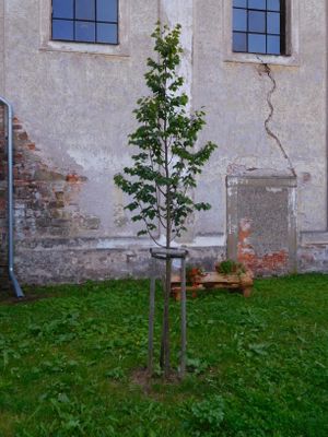
Republic Tilia in Fořt, memorable tree in Trutnov District
Emplacement : Fořt
Création : 2018
Coordonnées GPS : 50.60178,15.69849
Dernière mise à jour : 8 mai 2025 à 21:56
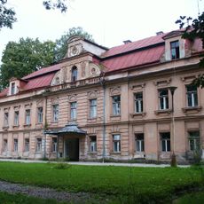
Fořt Castle
650 m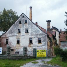
Rudník chateau/brewery
2.6 km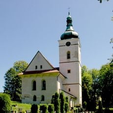
Church of Saint Wenceslaus
2.6 km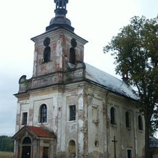
Church of Holy Trinity
10 m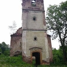
Ruins of protestant church in Rudník
2.7 km
Liberation memorial in Dolní Lánov
2.6 km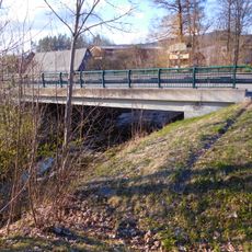
Bridge of I/14 road over the Čistá in Čistá
860 m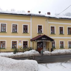
School building in Čistá
1.7 km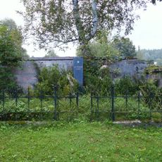
Hrob rudoarmějce
2.6 km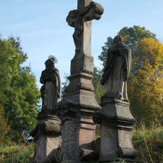
Sousoší Kalvárie
2.5 km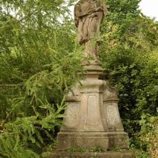
Socha svatého Jana Nepomuckého
2.7 km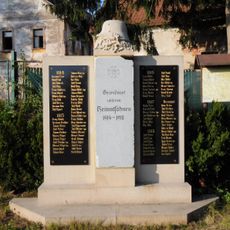
World War I memorial in Rudník
2.6 km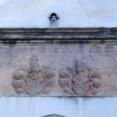
Relief with coats of arms of Hannibal Waldstein and Kateřina Berková z Dubé
2.6 km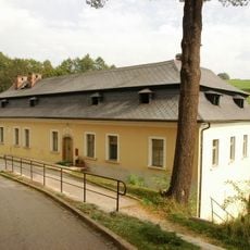
Rectory in Rudník
2.7 km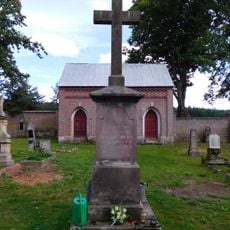
Cross at cemetery in Fořt
39 m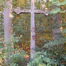
Cross near Fořt
1.2 km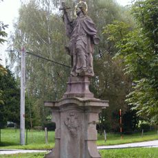
Sloup se sochou svatého Jana Nepomuckého
542 m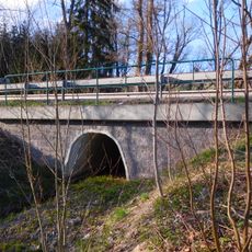
Bridge of I/14 near Kovársko
1.2 km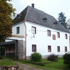
Tvrz
2.7 km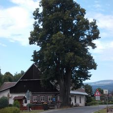
Tilia platyphyllos in Dolní Lánov
2.7 km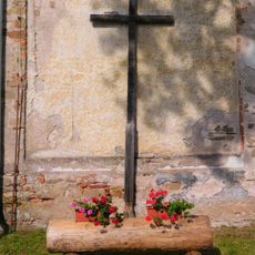
Wooden cross in Fořt
20 m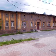
Rudník 128
2.5 km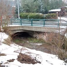
Bridge of road I/14 over the Bolkovský potok in Rudník near house no. 129
2.6 km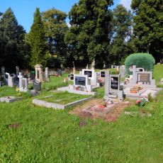
Cemetery in Rudník
2.6 km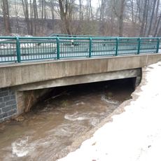
Bridge of road I/14 over the Bolkovský potok in Rudník near house no. 449
2.5 km
Memorable linden tree in Čistá
2.4 km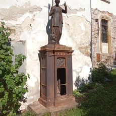
Eugenie Erich gravestone
2.6 km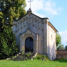
Cemetery chapel in Rudník
2.6 kmVous avez visité ce lieu ? Touchez les étoiles pour le noter et partager votre expérience ou vos photos avec la communauté ! Essayez maintenant ! Vous pouvez annuler à tout moment.
Trouvez des trésors cachés à chaque coin de rue !
Des petits cafés pittoresques aux points de vue planqués, fuyez la foule et dénichez les lieux qui vous ressemblent vraiment. Notre app vous facilite la vie : recherche vocale, filtres malins, itinéraires optimisés et bons plans partagés par des voyageurs du monde entier. Téléchargez vite pour vivre l'aventure en version mobile !

Une approche inédite de la découverte touristique❞
— Le Figaro
Tous les lieux qui valent la peine d'être explorés❞
— France Info
Une excursion sur mesure en quelques clics❞
— 20 Minutes