
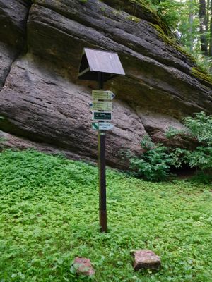
Naučná stezka okolo Pekelského vrchu, educational trail in Trutnov District
Emplacement : Mladé Buky
Emplacement : Vlčice
Coordonnées GPS : 50.60126,15.84485
Dernière mise à jour : 24 mars 2025 à 18:26
Břecštejn
2.3 km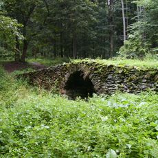
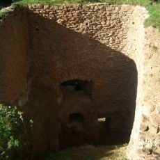
Gold mine with safes and a bridge over Gold streem
2.7 km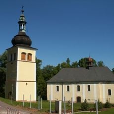
Church of Saint Catherine
950 m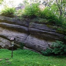
Nature park Hrádeček
2.4 km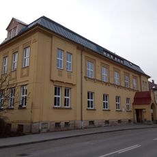
Horská 282
2.9 km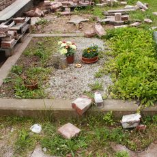
Hrob obětí fašismu
923 m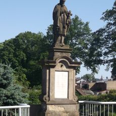
Socha svatého Jana Nepomuckého
2.4 km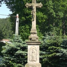
Krucifix
2.4 km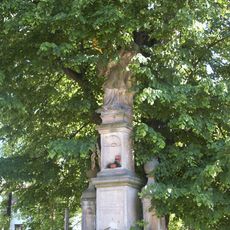
Socha svatého Jana Nepomuckého
1.1 km
Bell tower in Sklenářovice
2.7 km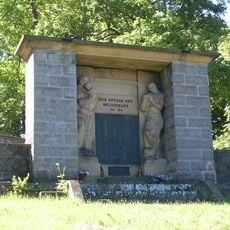
World War I memorial in Mladé Buky
986 m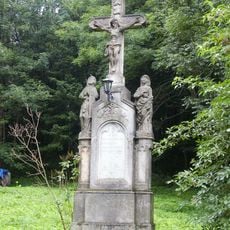
Cross in Bystřice
2.2 km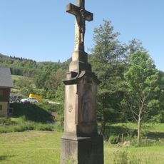
Cross in Hertvíkovice
2.1 km
Hrob - hrob Josefa Janouška a hrob obětí fašismu
923 m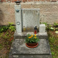
Hrob Josefa Janouška
928 m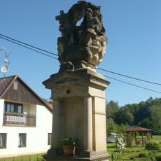
Statue of Holy Trinity in Kalná Voda
1.7 km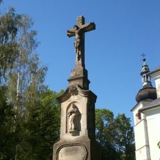
Cross at the Church of St. Catherine
932 m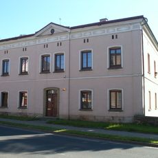
Fara
3.1 km
Dům čp. 14
1.5 km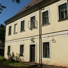
Fara
926 m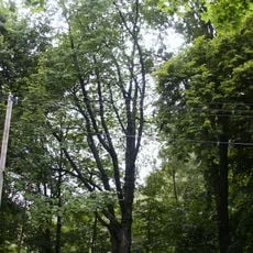
Třešeň ptačí
2.1 km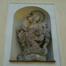
Statue of Virgin Mary in Mladé Buky
933 m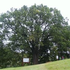
Dub letní
210 m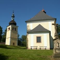
Bell tower at Church of St. Catherine
955 m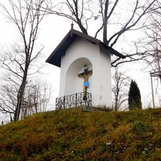
Výklenková kaple u hřbitova v Mladých Bukách
998 m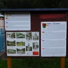
Via Piette
3 km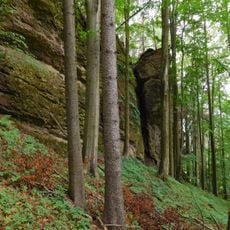
Rock formation at Hrádeček
1.9 km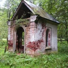
Chapel of the Visitation
2.2 kmVous avez visité ce lieu ? Touchez les étoiles pour le noter et partager votre expérience ou vos photos avec la communauté ! Essayez maintenant ! Vous pouvez annuler à tout moment.
Trouvez des trésors cachés à chaque coin de rue !
Des petits cafés pittoresques aux points de vue planqués, fuyez la foule et dénichez les lieux qui vous ressemblent vraiment. Notre app vous facilite la vie : recherche vocale, filtres malins, itinéraires optimisés et bons plans partagés par des voyageurs du monde entier. Téléchargez vite pour vivre l'aventure en version mobile !

Une approche inédite de la découverte touristique❞
— Le Figaro
Tous les lieux qui valent la peine d'être explorés❞
— France Info
Une excursion sur mesure en quelques clics❞
— 20 Minutes