
OP-S 23 Nad potokem, pěchotní srub u Jaktaře
Emplacement : Jaktař
Fait partie de : Fortification subsection 2./IV. Jaktař
Coordonnées GPS : 49.95047,17.85492
Dernière mise à jour : 8 avril 2025 à 10:28

Obchodní dům Breda
3.4 km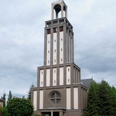
Église Saint-Hedwige
2.9 km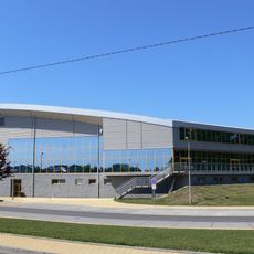
Hala Opava
2.2 km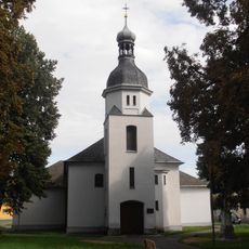
Church of the Holy Trinity in Opava
2.5 km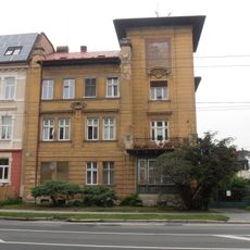
Zdrazilův dům
2.8 km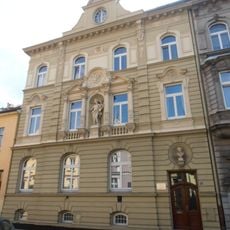
Lidická 7
3.3 km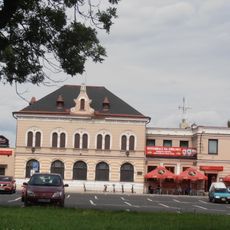
Restaurace Na střelnici
2.5 km
Slezská nemocnice
2.6 km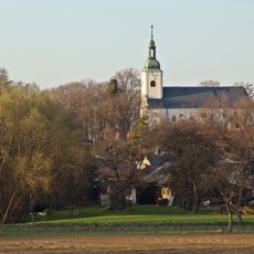
Church of Saints Peter and Paul in Jaktař
1 km
Museum of the fortifications Opava-Milostovice
1.2 km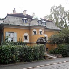
Kalittova vila
2.9 km
Kulturní dům Na Rybníčku
3.3 km
Opava, škrobárny
3.2 km
Vila dr. Radima Hesse
3.1 km
Chapel of Saint John of Nepomuk
2.8 km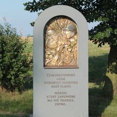
Památník legií východní okraj Milostovic
1.2 km
Odbojářů 27
1.5 km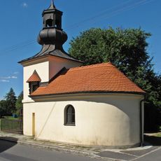
Chapel of Saint Wendelin in Vávrovice
2.9 km
Neudekův dům
3.3 km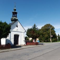
Chapel of the Saint John the Baptist (Zlatníky)
2 km
Správní budova firmy T. Fiedor
3.2 km
Budova okresního soudu v Opavě
3 km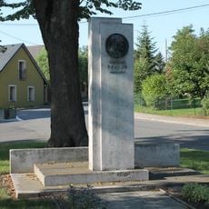
Památník Vincence Praska v Milostovicích
1.8 km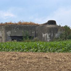
OP-S 26 Za humny Milostovic casemate
1.9 km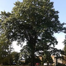
Dub červený
3 km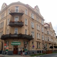
Na Rybníčku 16
3.3 km
Road bridge Vávrovice - Wiechowice
3.2 km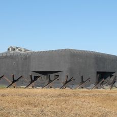
OP-S 25 U trigonometru casemate
1.2 kmAvis
Vous avez visité ce lieu ? Touchez les étoiles pour le noter et partager votre expérience ou vos photos avec la communauté ! Essayez maintenant ! Vous pouvez annuler à tout moment.
Trouvez des trésors cachés à chaque coin de rue !
Des petits cafés pittoresques aux points de vue planqués, fuyez la foule et dénichez les lieux qui vous ressemblent vraiment. Notre app vous facilite la vie : recherche vocale, filtres malins, itinéraires optimisés et bons plans partagés par des voyageurs du monde entier. Téléchargez vite pour vivre l'aventure en version mobile !

Une approche inédite de la découverte touristique❞
— Le Figaro
Tous les lieux qui valent la peine d'être explorés❞
— France Info
Une excursion sur mesure en quelques clics❞
— 20 Minutes