
Lom u Blatné, central part of Lom in Strakonice District
Church of the Transfiguration
3.7 km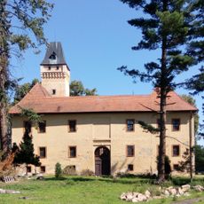
Škvořetice
3.2 km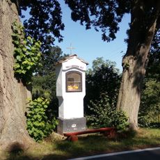
Škvořetice wayside shrine
3.2 km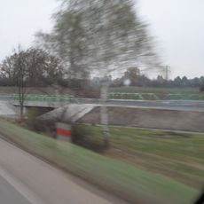
Most silnice I/4 přes cestu Radobytce - Obora u Radobytec
3.6 km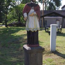
Socha svatého Jana Nepomuckého
3.6 km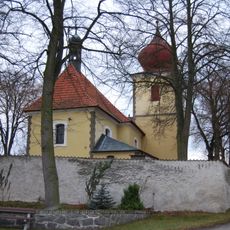
Church of Saint Andrew
3.2 km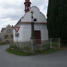
Chapel of Saint John of Nepomuk
3.4 km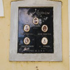
World War I memorial in Bořice
2.3 km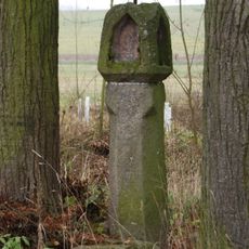
Boží muka
3.6 km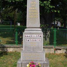
World War I memorial in Škvořetice
3.1 km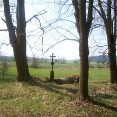
Kříž západně od Mirotic u rozcestí
3.6 km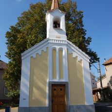
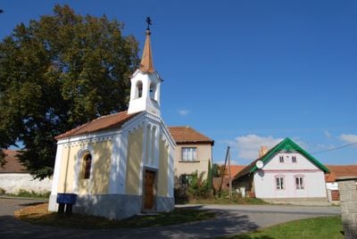
Kaple v Lomu
298 m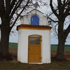
Kaple
2.6 km
Dub u Vokatých
3.7 km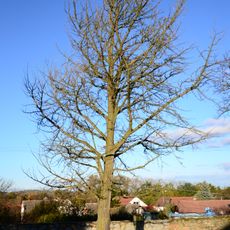
Jinan u Strážovického zámku
2.2 km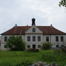
Zámek Strážovice
2.1 km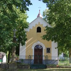
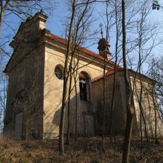
Chapel of Virgin Mary
2.3 km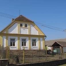
Usedlost čp. 8
3.1 km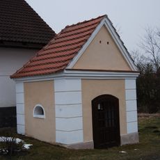
Chapel of Holy Family
3.4 km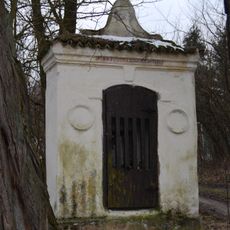
Chapel of Virgin Mary
2.4 km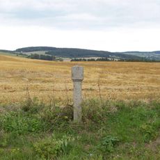
Boží muka jižně od Mirotic
3.5 km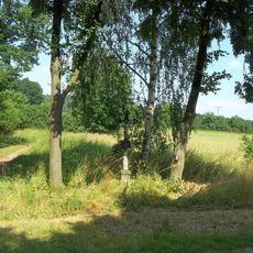
Kříž na rozcestí východně od Lučkovic
3.6 km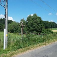
Kříž východně od Lučkovic
3.6 km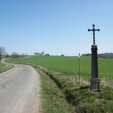
Kříž u Škvořetic
2.5 km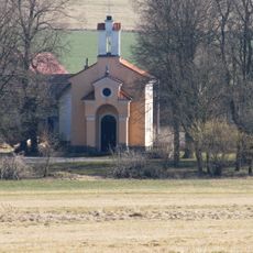
Chapel of Virgin Mary
3 km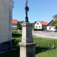
Cross
3.1 km
Kříž u mostu v Lučkovicích
3.6 km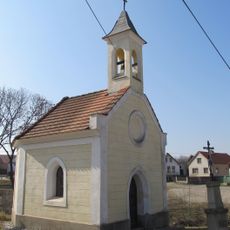
Chapel of Our Lady of Sorrows
3.1 kmVous avez visité ce lieu ? Touchez les étoiles pour le noter et partager votre expérience ou vos photos avec la communauté ! Essayez maintenant ! Vous pouvez annuler à tout moment.
Trouvez des trésors cachés à chaque coin de rue !
Des petits cafés pittoresques aux points de vue planqués, fuyez la foule et dénichez les lieux qui vous ressemblent vraiment. Notre app vous facilite la vie : recherche vocale, filtres malins, itinéraires optimisés et bons plans partagés par des voyageurs du monde entier. Téléchargez vite pour vivre l'aventure en version mobile !

Une approche inédite de la découverte touristique❞
— Le Figaro
Tous les lieux qui valent la peine d'être explorés❞
— France Info
Une excursion sur mesure en quelques clics❞
— 20 Minutes