
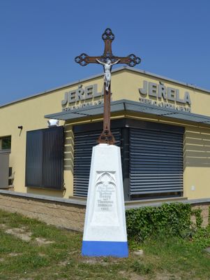
Wayside cross on Bratislavská st., kulturní památka České republiky na území obce Podivín, rejstříkové číslo 29518/7-1659
Emplacement : Podivín
Coordonnées GPS : 48.82932,16.85293
Dernière mise à jour : 7 mars 2025 à 01:46

Minaret in Lednice
3.4 km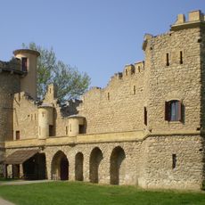
Janův hrad
3.1 km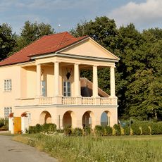
Hunting Lodge Lednice
3.6 km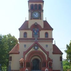
Church of Saint Michael the Archangel (Ladná)
3 km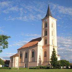
Church of the Nativity of the Virgin Mary
3.6 km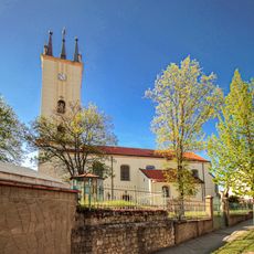
Church of Saints Peter and Paul (Podivín)
615 m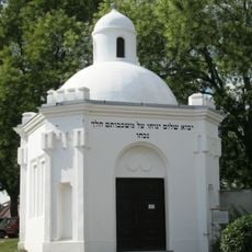
Jewish cemetery in Podivín
406 m
Synagoge
725 m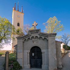
Chapel of Saints Cyril and Methodius
629 m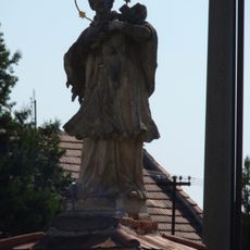
Statue of John of Nepomuk
417 m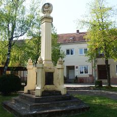
Pomník padlým při bojích o Podivín
641 m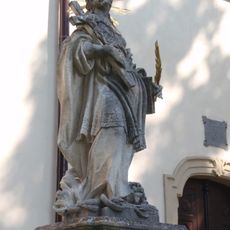
Statue of Saint Thecla
619 m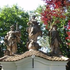
Statue of Immaculata in Podivín
656 m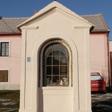
Chapel of Saint Anne
409 m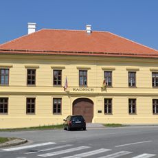
Former town hall in Podivín
655 m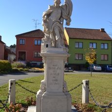
Socha svatého Floriána
3.6 km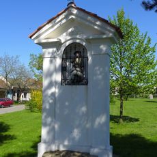
Chapel of Saint Wendelin
3.2 km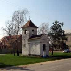
Chapel of Saint Michael
3 km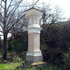
Boží muka
2.8 km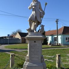
Socha svatého Vendelína
3.6 km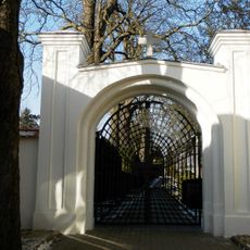
Cemetery gate in Podivín
421 m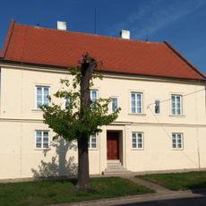
Rectory in Podivín
565 m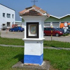
Wayside shrine on Bratislavská st.
304 m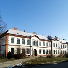
Elementary school
530 m
Birth and Simultaneously Damnation of the Sphere
3 km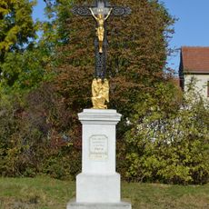
Kříž
3.5 km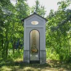
Chapel-shrine in Podivín
3 km
Platan javorolistý u Janova hradu
3.2 kmVous avez visité ce lieu ? Touchez les étoiles pour le noter et partager votre expérience ou vos photos avec la communauté ! Essayez maintenant ! Vous pouvez annuler à tout moment.
Trouvez des trésors cachés à chaque coin de rue !
Des petits cafés pittoresques aux points de vue planqués, fuyez la foule et dénichez les lieux qui vous ressemblent vraiment. Notre app vous facilite la vie : recherche vocale, filtres malins, itinéraires optimisés et bons plans partagés par des voyageurs du monde entier. Téléchargez vite pour vivre l'aventure en version mobile !

Une approche inédite de la découverte touristique❞
— Le Figaro
Tous les lieux qui valent la peine d'être explorés❞
— France Info
Une excursion sur mesure en quelques clics❞
— 20 Minutes