
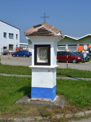
Wayside shrine on Bratislavská st., kulturní památka České republiky na území obce Podivín
Emplacement : Podivín
Coordonnées GPS : 48.82936,16.85707
Dernière mise à jour : 2 mars 2025 à 20:54

Minaret in Lednice
3.7 km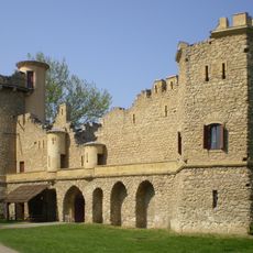
Janův hrad
3.3 km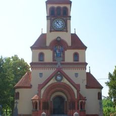
Church of Saint Michael the Archangel (Ladná)
2.9 km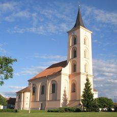
Church of the Nativity of the Virgin Mary
3.4 km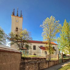
Church of Saints Peter and Paul (Podivín)
887 m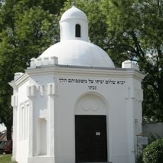
Jewish cemetery in Podivín
702 m
Synagoge
965 m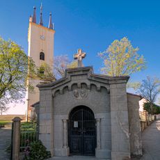
Chapel of Saints Cyril and Methodius
899 m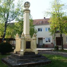
Pomník padlým při bojích o Podivín
894 m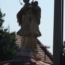
Statue of John of Nepomuk
713 m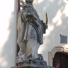
Statue of Saint Thecla
894 m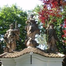
Statue of Immaculata in Podivín
915 m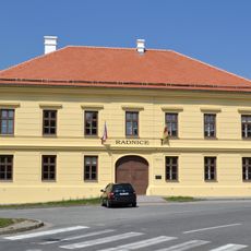
Former town hall in Podivín
923 m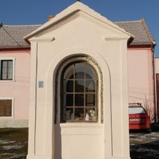
Chapel of Saint Anne
712 m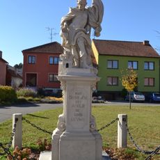
Socha svatého Floriána
3.4 km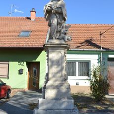
Socha svatého Jana Nepomuckého
3.4 km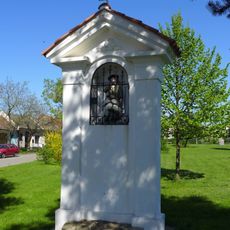
Chapel of Saint Wendelin
3 km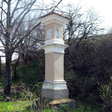
Boží muka
2.6 km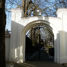
Cemetery gate in Podivín
723 m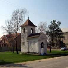
Chapel of Saint Michael
2.9 km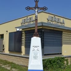
Wayside cross on Bratislavská st.
304 m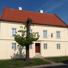
Rectory in Podivín
843 m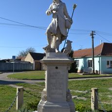
Socha svatého Vendelína
3.4 km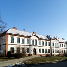
Elementary school
756 m
Birth and Simultaneously Damnation of the Sphere
3.1 km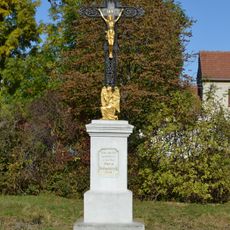
Kříž
3.3 km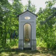
Chapel-shrine in Podivín
3.1 km
Platan javorolistý u Janova hradu
3.3 kmVous avez visité ce lieu ? Touchez les étoiles pour le noter et partager votre expérience ou vos photos avec la communauté ! Essayez maintenant ! Vous pouvez annuler à tout moment.
Trouvez des trésors cachés à chaque coin de rue !
Des petits cafés pittoresques aux points de vue planqués, fuyez la foule et dénichez les lieux qui vous ressemblent vraiment. Notre app vous facilite la vie : recherche vocale, filtres malins, itinéraires optimisés et bons plans partagés par des voyageurs du monde entier. Téléchargez vite pour vivre l'aventure en version mobile !

Une approche inédite de la découverte touristique❞
— Le Figaro
Tous les lieux qui valent la peine d'être explorés❞
— France Info
Une excursion sur mesure en quelques clics❞
— 20 Minutes