
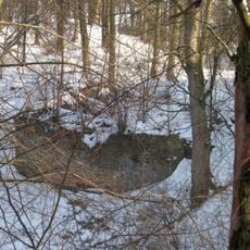
Jasan ztepilý, memorable tree in Náchod District, Czech Republic
Emplacement : Slatina nad Úpou
Hauteur : 25 m
Coordonnées GPS : 50.45427,16.03000
Dernière mise à jour : 9 mai 2025 à 06:54
Rýzmburk
2.6 km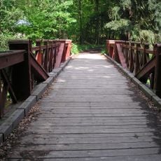
Červený most
2.3 km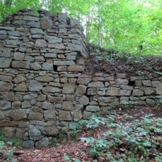
Červená Hora Castle
1.4 km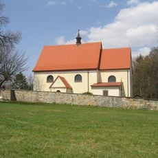
Church of the Visitation of Our Lady (Boušín)
1.9 km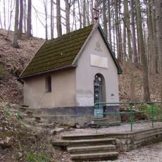
Chapel of Virgin Mary in Boušín
1.9 km
Pod Rýzmburkem
2.8 km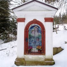
Chapel of Virgin Mary
1.4 km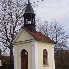
Chapel of the Assumption
1.6 km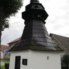
Chapel of Virgin Mary
2.1 km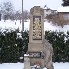
Pomnik poległych w czasie I wojny światowej w Slatinie nad Úpou
654 m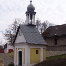
Chapel of Virgin Mary (Litoboř)
1.2 km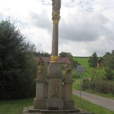
Kolumna Maryjna w Slatinie nad Úpou
859 m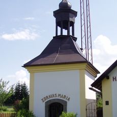
Chapel of Virgin Mary in Křižanov
2.6 km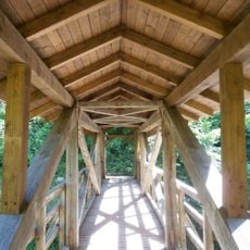
Boušínská lávka
1.9 km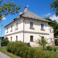
Rectory in Boušín
1.9 km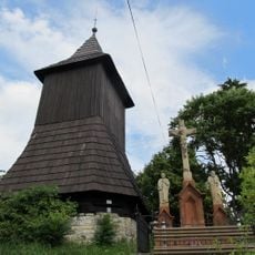
Slatinska dzwonnica
762 m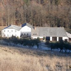
Slatinski młyn
1.5 km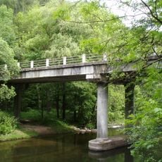
Slatinský most
1.4 km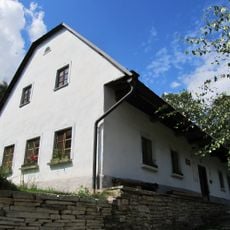
Dům čp. 46
1.2 km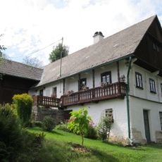
Dům Josefa Wlčka
484 m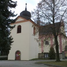
Bell tower in Hořičky
3 km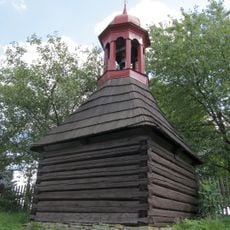
Zvonička
2.5 km
Tvrz
1.6 km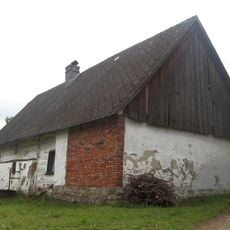
Dům čp. 89
644 m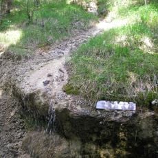
Babiččino údolí - Rýzmburk
2.8 km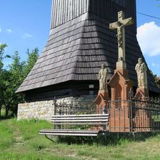
Pamětní kříž ve Slatině nad Úpou
760 m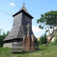
Zvonice ve Slatině nad Úpou
758 m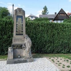
Pomník padlým ve Slatině nad Úpou
654 mAvis
Vous avez visité ce lieu ? Touchez les étoiles pour le noter et partager votre expérience ou vos photos avec la communauté ! Essayez maintenant ! Vous pouvez annuler à tout moment.
Trouvez des trésors cachés à chaque coin de rue !
Des petits cafés pittoresques aux points de vue planqués, fuyez la foule et dénichez les lieux qui vous ressemblent vraiment. Notre app vous facilite la vie : recherche vocale, filtres malins, itinéraires optimisés et bons plans partagés par des voyageurs du monde entier. Téléchargez vite pour vivre l'aventure en version mobile !

Une approche inédite de la découverte touristique❞
— Le Figaro
Tous les lieux qui valent la peine d'être explorés❞
— France Info
Une excursion sur mesure en quelques clics❞
— 20 Minutes