
Buk u Rozhraní, memorable tree in Svitavy District, Czech Republic
Emplacement : Rozhraní
Hauteur : 30 m
Coordonnées GPS : 49.60095,16.53894
Dernière mise à jour : 17 avril 2025 à 23:52
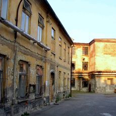
Löw-Beer's factory
3.2 km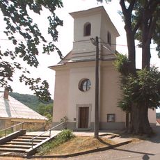
Church of the Exaltation of the Holy Cross
899 m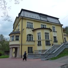
Vila Löw-Beer
2.5 km
Zámek Křetín
5 km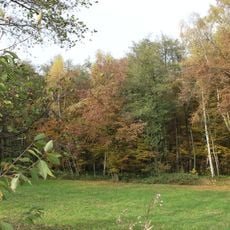
Babolský háj
2.7 km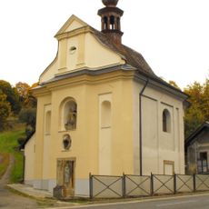
Chapel of Fourteen Holy Helpers
4.3 km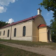
Evangelical church in Moravská Chrastová
3 km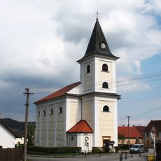
Church of Saint Jerome
5.1 km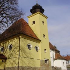
Church of Saint Andrew
4.3 km
Church of Saints Peter and Paul
2.2 km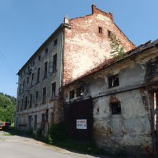
Fritzův mlýn
4.8 km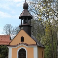
Chapel of the Holy Name of Mary (Prostřední Poříčí)
4.8 km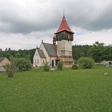
Church of Saint Catherine of Alexandria
5.3 km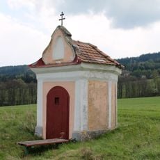
Chapel of Holy Trinity (Horní Poříčí)
4.8 km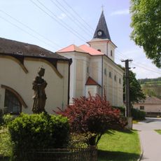
Socha svatého Jana Nepomuckého
5.1 km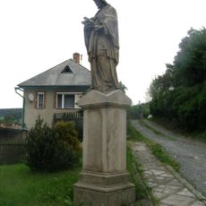
Socha svatého Jana Nepomuckého
5.1 km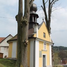
Chapel of the Assumption
4.7 km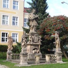
Sculpture of Saint John of Nepomuk with saints
5.2 km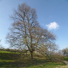
Babolecká lípa
3.4 km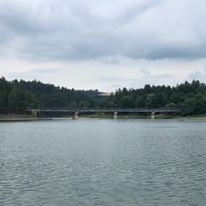
Vn Letovice, most
5.1 km
Moravské náměstí čp. 65
5.1 km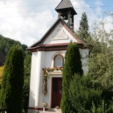
Chapel of Saint Cyril and Methodius
1.9 km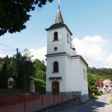
Church of Holy Trinity
3.3 km
Wayside cross with coat of arms of Horní Smržov
3.6 km
Městský dům
5.1 km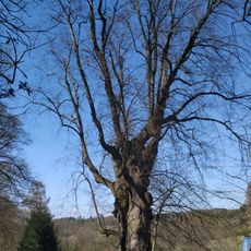
Lípa v Horákově Lhotě
3.9 km
Vn Letovice, Vranova
5 km
Vn Letovice, Svitavice
4.7 kmVous avez visité ce lieu ? Touchez les étoiles pour le noter et partager votre expérience ou vos photos avec la communauté ! Essayez maintenant ! Vous pouvez annuler à tout moment.
Trouvez des trésors cachés à chaque coin de rue !
Des petits cafés pittoresques aux points de vue planqués, fuyez la foule et dénichez les lieux qui vous ressemblent vraiment. Notre app vous facilite la vie : recherche vocale, filtres malins, itinéraires optimisés et bons plans partagés par des voyageurs du monde entier. Téléchargez vite pour vivre l'aventure en version mobile !

Une approche inédite de la découverte touristique❞
— Le Figaro
Tous les lieux qui valent la peine d'être explorés❞
— France Info
Une excursion sur mesure en quelques clics❞
— 20 Minutes