
Dub ve Staříči, memorable tree in Frýdek-Místek District, Czech Republic
Emplacement : Staříč
Hauteur : 30 m
Coordonnées GPS : 49.68955,18.28422
Dernière mise à jour : 30 mai 2025 à 19:36
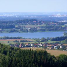
Olešná Reservoir
3.7 km
Tvrz Lipina
2.1 km
Důl Sviadnov
2.6 km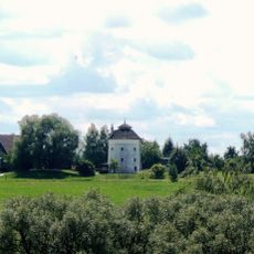
Windmill in Brušperk
4.1 km
Kamenná
557 m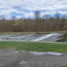
Stolbergův jez
4 km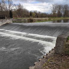
Válcovenský jez
3.5 km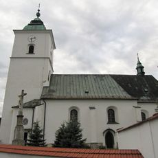
Church of the Assumption of the Virgin Mary
4.3 km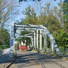
Most na vlečce Arcimpex Sviadnov
3.2 km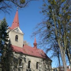
Church of Saints Simon and Jude
4 km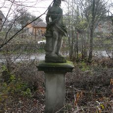
Socha Krista u kůlu
3.5 km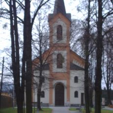
Chapel of Saint John of Nepomuk
3.1 km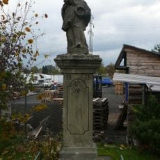
Socha svatého Jana Nepomuckého
3.4 km
Pomník Petra Bezruče
4.3 km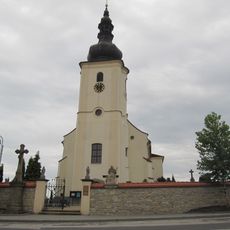
Church of the Finding of the True Cross
858 m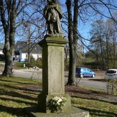
Socha svatého Jana Nepomuckého
4 km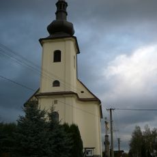
Church of Our Lady of the Snow
2.6 km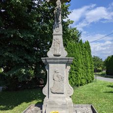
Krucifix
3.9 km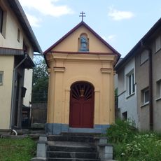
Kaple svatého Spasitele
4.3 km
Krucifix
4.2 km
Dům čp. 35
4.3 km
Dům čp. 36
4.3 km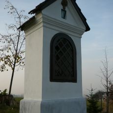
Boží muka
4.2 km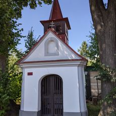
Kaplička svatého Antonína
3.4 km
Dům čp. 37
4.3 km
Footbridge over Důl Staříč station
1.4 km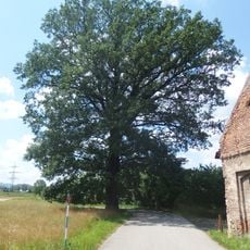
Žabeňský dub
2.1 km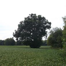
Dub u dálnice
2.2 kmAvis
Vous avez visité ce lieu ? Touchez les étoiles pour le noter et partager votre expérience ou vos photos avec la communauté ! Essayez maintenant ! Vous pouvez annuler à tout moment.
Trouvez des trésors cachés à chaque coin de rue !
Des petits cafés pittoresques aux points de vue planqués, fuyez la foule et dénichez les lieux qui vous ressemblent vraiment. Notre app vous facilite la vie : recherche vocale, filtres malins, itinéraires optimisés et bons plans partagés par des voyageurs du monde entier. Téléchargez vite pour vivre l'aventure en version mobile !

Une approche inédite de la découverte touristique❞
— Le Figaro
Tous les lieux qui valent la peine d'être explorés❞
— France Info
Une excursion sur mesure en quelques clics❞
— 20 Minutes