
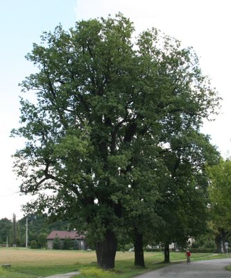
Petřvaldský dub, memorable tree in Karviná District, Czech Republic
Emplacement : Petřvald
Hauteur : 23 m
Coordonnées GPS : 49.82548,18.38636
Dernière mise à jour : 12 mars 2025 à 08:25
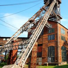
Michal Mine
3.5 km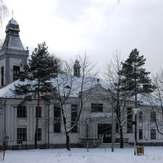
Hussite church Ostrava-Michálkovice
3.5 km
Flying
3.4 km
Koupark
3.5 km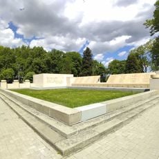
Monument to the fallen for Těšín Silesia
3.2 km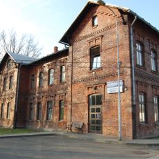
Mine Václav
3.1 km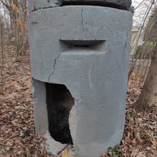
Einmannbunker na haldě dolu Michal
3.4 km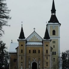
Church of the Assumption (Michálkovice)
3.3 km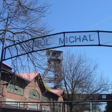
Industria muzeo (Ostrava)
3.5 km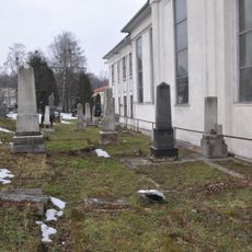
Jewish cemetery in Michalkovice
3.5 km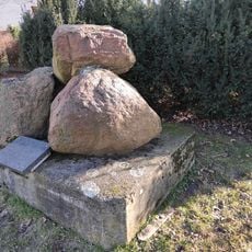
Erratic stones in Petřvald
1.1 km
Church of Saint Henry in Peřvald
689 m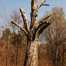
Petřvaldský buk
1.7 km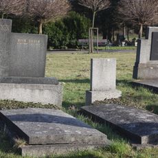
Jewish cemetery in Orlová
3.1 km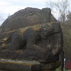
Socha Krista klesajícího pod křížem
1.8 km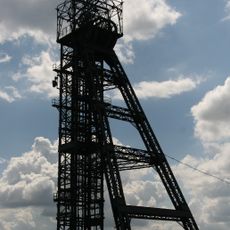
Důl Julius Fučík
972 m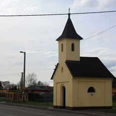
Chapel in Petřvald
1.5 km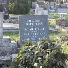
Hrob padlým ve stávce 1925
2.9 km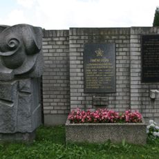
World War II memorial in Orlová Cemetery
3.1 km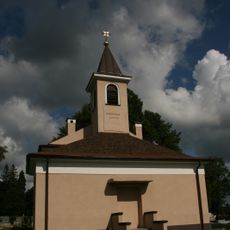
Chapel in cemetery in Orlová
3.2 km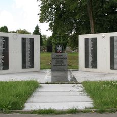
Russian soldiers memorial in Orlová Cemetery
3 km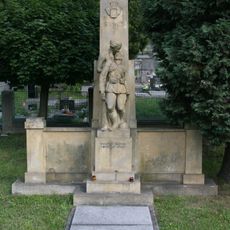
World War I memorial in Petřvald
561 m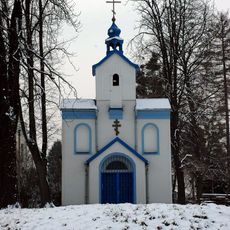
Church of the Nativity of the Virgin Mary
3.3 km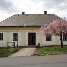
Museum of Technology, Petřvald
623 m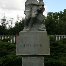
World War I memorial in Orlová Cemetery
3.1 km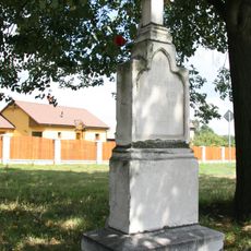
Wayside cross in Závodní street, Petřvald
463 m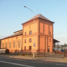
Centrála Petřvald
1.5 km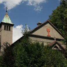
Church of Czechoslovak Hussite Church in Petřvald
639 mVous avez visité ce lieu ? Touchez les étoiles pour le noter et partager votre expérience ou vos photos avec la communauté ! Essayez maintenant ! Vous pouvez annuler à tout moment.
Trouvez des trésors cachés à chaque coin de rue !
Des petits cafés pittoresques aux points de vue planqués, fuyez la foule et dénichez les lieux qui vous ressemblent vraiment. Notre app vous facilite la vie : recherche vocale, filtres malins, itinéraires optimisés et bons plans partagés par des voyageurs du monde entier. Téléchargez vite pour vivre l'aventure en version mobile !

Une approche inédite de la découverte touristique❞
— Le Figaro
Tous les lieux qui valent la peine d'être explorés❞
— France Info
Une excursion sur mesure en quelques clics❞
— 20 Minutes