
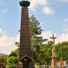
Tis v Kamence, memorable tree in Nový Jičín District, Czech Republic
Emplacement : Odry
Hauteur : 15 m
Coordonnées GPS : 49.73463,17.79718
Dernière mise à jour : 30 mars 2025 à 19:36
Zvonice
4.4 km
Grave of Jan Zajíc
5.3 km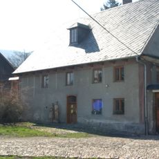
Vodní mlýn Wesselsky
5.5 km
Spálovský mlýn
5.2 km
Suchá Dora
5.6 km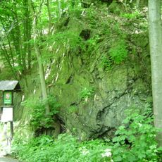
Vrásový soubor v Klokočůvku
4.2 km
Na Čermence
2.1 km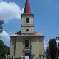
Church of Saint Nicholas
3.8 km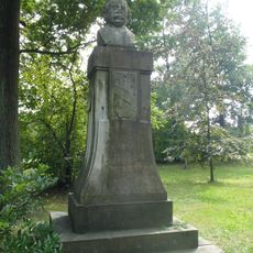
Památník Eduarda Schöna Engelsberga
5.2 km
Church of Holy Trinity (Kamenka)
175 m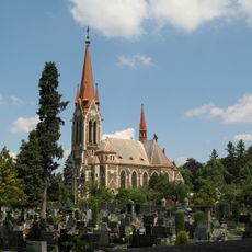
Parish church of the Assumption of the Virgin Mary
5.3 km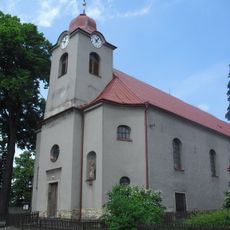
Church of the Visitation of Our Lady
1.7 km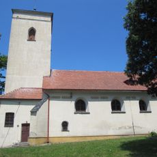
Cemetery church of the Assumption of Virgin Mary
5.4 km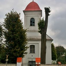
Church of Saint Andrew
4.2 km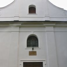
Church of the Immaculate Conception
3.7 km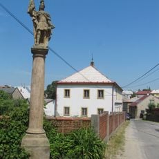
Socha svatého Floriána
5.4 km
Socha svatého Felixe
3.4 km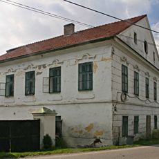
Fojtství
3.8 km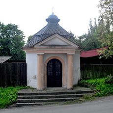
Chapel of Saint Hubertus
1.7 km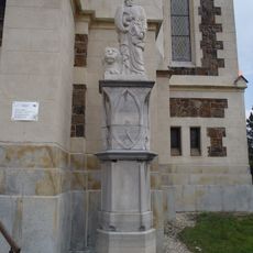
Statue of Saint Mark in Vítkov
5.3 km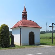
Chapel of Our Lady of Sorrows
3.4 km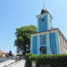
Church of the Assumption of the Virgin Mary
5.2 km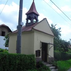
Chapel of the Holy Guardian Angels
5.5 km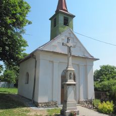
Chapel of the Assumption
5.3 km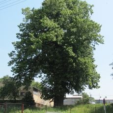
Lípa ve Vítkově
5.5 km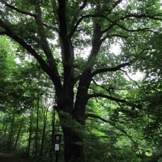
Dub u brodu
4.1 km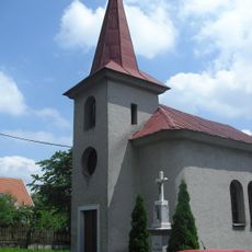
Chapel of Saint John of Nepomuk
2.6 km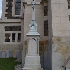
Kříž ve Vítkově u farního kostela Nanebevzetí Panny Marie
5.3 kmVous avez visité ce lieu ? Touchez les étoiles pour le noter et partager votre expérience ou vos photos avec la communauté ! Essayez maintenant ! Vous pouvez annuler à tout moment.
Trouvez des trésors cachés à chaque coin de rue !
Des petits cafés pittoresques aux points de vue planqués, fuyez la foule et dénichez les lieux qui vous ressemblent vraiment. Notre app vous facilite la vie : recherche vocale, filtres malins, itinéraires optimisés et bons plans partagés par des voyageurs du monde entier. Téléchargez vite pour vivre l'aventure en version mobile !

Une approche inédite de la découverte touristique❞
— Le Figaro
Tous les lieux qui valent la peine d'être explorés❞
— France Info
Une excursion sur mesure en quelques clics❞
— 20 Minutes