
Sušice tilia, memorable tree in Přerov District, Czech Republic
Emplacement : Sušice
Hauteur : 23 m
Coordonnées GPS : 49.49306,17.52075
Dernière mise à jour : 17 mars 2025 à 04:16

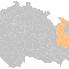
Lipník nad Bečvou (klein district)
4.2 km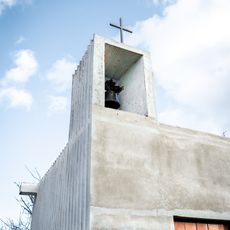
Kaple svatého Vendelína
2.8 km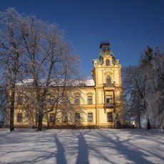
Pavlovice u Přerova Castle
3.5 km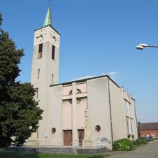
Church of Saint Joseph
1.8 km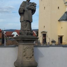
Sochy svatého Tadeáše a svatého Jana Nepomuckého
2 km
Sochy svatého Františka Serafinského, svatého Šebestiána a Panny Marie
3.4 km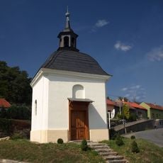
Chapel of Saint Urban
4 km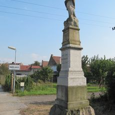
Statue of John of Nepomuk
1.7 km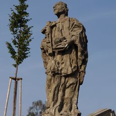
Sochy svatého Jana Nepomuckého a svatého Jana Sarkandra
3.4 km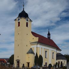
Church of the Exaltation of the Holy Cross
2.1 km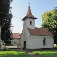
Chapel of Saint John the Baptist
2.1 km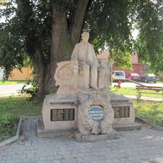
Statue of Tomáš Garrigue Masaryk, Radslavice
1.7 km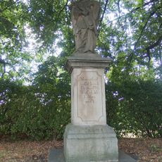
Socha svatého Jana Nepomuckého
4.3 km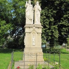
Statue of Saints Cyril and Methodius, Radslavice
1.7 km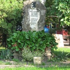
Red Army monument in Radslavice (Přerov)
1.7 km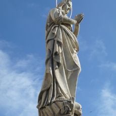
Maria Magdaléno kající in Radslavice
1.8 km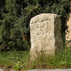
Hraniční kámen
2.1 km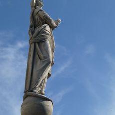
Maria bez poškvrny počatá in Radslavice
1.8 km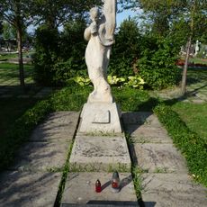
Memorial to Red Army men
1.7 km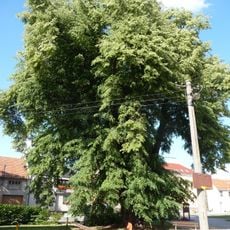
Tilia in Radslavice
1.7 km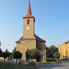
Church of Saint John the Baptist
2.9 km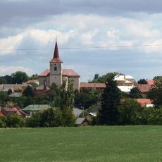
Church of Saint Giles
3.4 km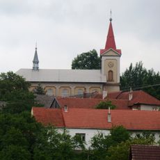
Church of Saint Bartholomew
4.3 km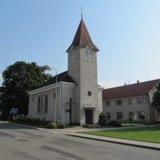
Chapel of the Visitation
1.6 km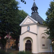
Chapel of Saint Wendelin
4 km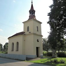
Chapel of Saints Philip and James
1.4 km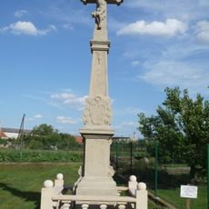
Wayside cross (Radslavice, Přerov)
1.9 km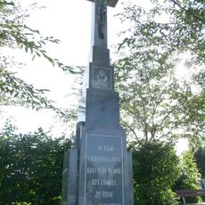
Wayside cross
1.7 kmVous avez visité ce lieu ? Touchez les étoiles pour le noter et partager votre expérience ou vos photos avec la communauté ! Essayez maintenant ! Vous pouvez annuler à tout moment.
Trouvez des trésors cachés à chaque coin de rue !
Des petits cafés pittoresques aux points de vue planqués, fuyez la foule et dénichez les lieux qui vous ressemblent vraiment. Notre app vous facilite la vie : recherche vocale, filtres malins, itinéraires optimisés et bons plans partagés par des voyageurs du monde entier. Téléchargez vite pour vivre l'aventure en version mobile !

Une approche inédite de la découverte touristique❞
— Le Figaro
Tous les lieux qui valent la peine d'être explorés❞
— France Info
Une excursion sur mesure en quelques clics❞
— 20 Minutes