
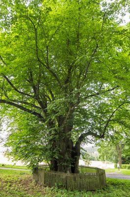
Lubská lípa, memorable tree in Cheb District, Czech Republic
Emplacement : Luby
Hauteur : 16 m
Coordonnées GPS : 50.26530,12.39090
Dernière mise à jour : 2 mars 2025 à 21:07
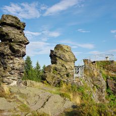
Vysoký kámen
4.1 km
Maria column in Luby
1.7 km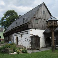
Musée en plein air de Vogtland Landwüst
4.3 km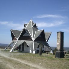
Wirtsberg
3.8 km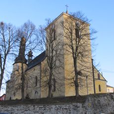
Church of Saint Andrew
1.6 km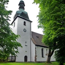
Church of Saint Giles
4.7 km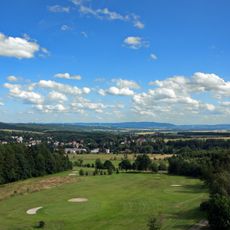
Přírodní park Kamenné vrchy
5.5 km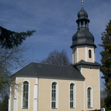
Saint Lawrence Church
4 km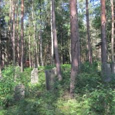
Jewish cemetery in Lomnička
5.3 km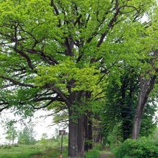
Zámecká alej a skupina buků v Horních Lubech
563 m
Božetín
4.4 km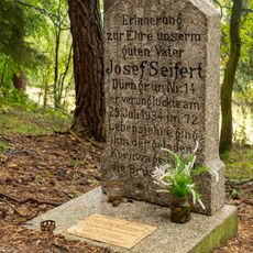
Memorial near Výspa
1.6 km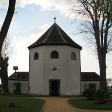
Chapel of Virgin Mary (Luby)
1.8 km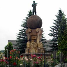
Socha houslaře v Lubech
1.6 km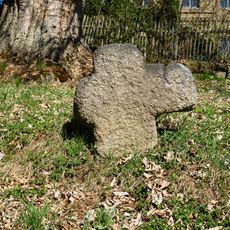
Smírčí kříž
4.6 km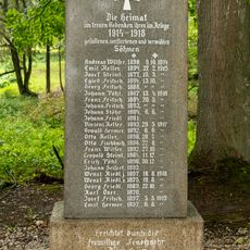
World War I memorial
2.1 km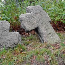
Penitence crosses in Kostelní
4.7 km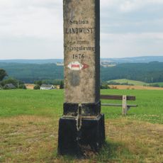
Station 148 Landwüst
3.8 km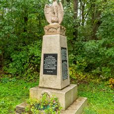
World War I memorial
2.5 km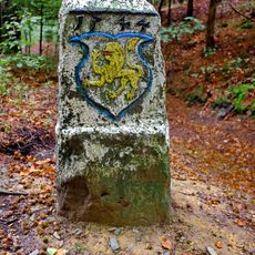
Hraniční kámen
5.3 km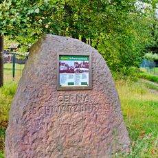
Pomník obce Černá v Černé
4 km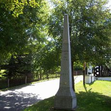
Polish-Saxon Post Milestones in Landwüst
4.3 km
World War I memorial
1.8 km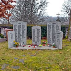
World War I memorial
1.8 km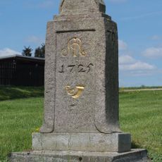
Polish-Saxon Post Milestones in Landwüst
4.5 km
Gemeindeamt Klingenthaler Straße 1
5.5 km
World War I memorial in Lomnička
4.5 km
Pfarrhof Rohrbacher Straße 22
4.1 kmVous avez visité ce lieu ? Touchez les étoiles pour le noter et partager votre expérience ou vos photos avec la communauté ! Essayez maintenant ! Vous pouvez annuler à tout moment.
Trouvez des trésors cachés à chaque coin de rue !
Des petits cafés pittoresques aux points de vue planqués, fuyez la foule et dénichez les lieux qui vous ressemblent vraiment. Notre app vous facilite la vie : recherche vocale, filtres malins, itinéraires optimisés et bons plans partagés par des voyageurs du monde entier. Téléchargez vite pour vivre l'aventure en version mobile !

Une approche inédite de la découverte touristique❞
— Le Figaro
Tous les lieux qui valent la peine d'être explorés❞
— France Info
Une excursion sur mesure en quelques clics❞
— 20 Minutes