
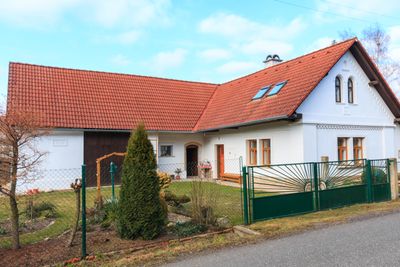
Roztoky, part of Šestajovice in Náchod District
Emplacement : Šestajovice
Coordonnées GPS : 50.33750,16.03810
Dernière mise à jour : 3 avril 2025 à 11:25
Tuří rybník
2.6 km
Veselice
1.3 km
Jakubův Nový Dvůr
2.5 km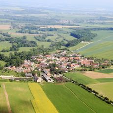
Šestajovická stráň
861 m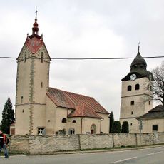
Church of Saint Nicholas
4.4 km
Úpsko-metujská tabule
2.9 km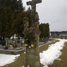
Sculpture of the Crucifixion (Velká Jesenice)
2.5 km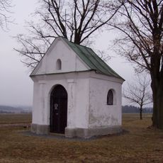
Chapel of Saint Francis of Assisi (Velká Jesenice)
3.1 km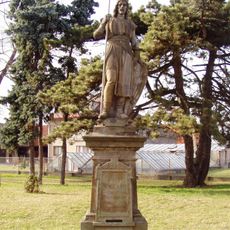
Socha svatého Václava
3.4 km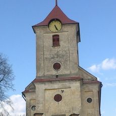
Church of the Assumption of the Virgin Mary
2.4 km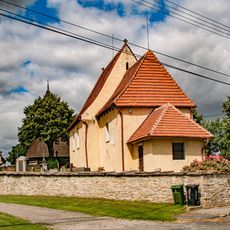
Kostel svatého Jana Křtitele
3.4 km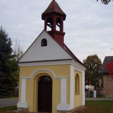
Chapel of Saint Ludmila
2 km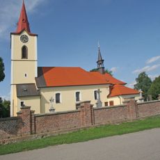
Church of Saint George
4.1 km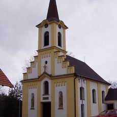
Church of the Holy Family
3.5 km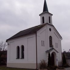
Chapel of the Visitation of Our Lady in Slavětín nad Metují
1.4 km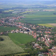
Bohuslavická tabule
3.8 km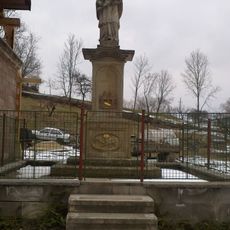
Socha svatého Jana Nepomuckého
2.3 km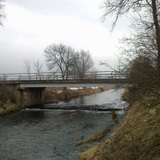
Metujská niva
197 m
Dům
3.4 km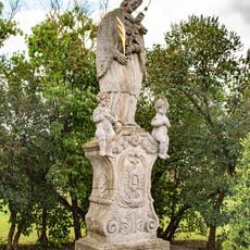
Socha svatého Jana Nepomuckého v Rohenicích
3.2 km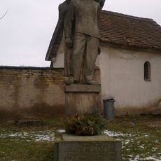
Pomník Jendy Hofmana
2.4 km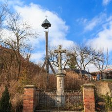
Krucifix
1.8 km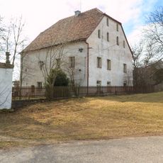
Tvrz čp. 37
3.2 km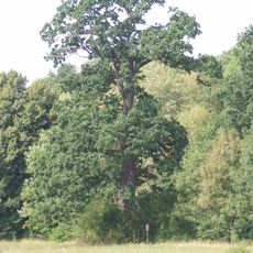
Kavalírův dub
561 m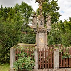
Kříž v Rohenicích
3.4 km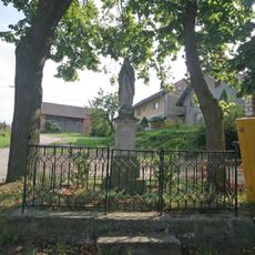
Socha Panny Marie v Šestajovicích u Jaroměře
2.2 km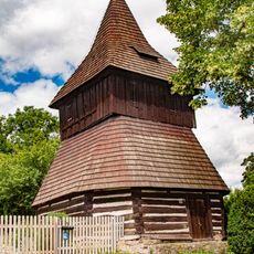
Bell towers in Rohenice
3.4 km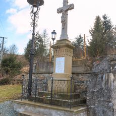
Zvonička v Roztokách nad Metují
74 mVous avez visité ce lieu ? Touchez les étoiles pour le noter et partager votre expérience ou vos photos avec la communauté ! Essayez maintenant ! Vous pouvez annuler à tout moment.
Trouvez des trésors cachés à chaque coin de rue !
Des petits cafés pittoresques aux points de vue planqués, fuyez la foule et dénichez les lieux qui vous ressemblent vraiment. Notre app vous facilite la vie : recherche vocale, filtres malins, itinéraires optimisés et bons plans partagés par des voyageurs du monde entier. Téléchargez vite pour vivre l'aventure en version mobile !

Une approche inédite de la découverte touristique❞
— Le Figaro
Tous les lieux qui valent la peine d'être explorés❞
— France Info
Une excursion sur mesure en quelques clics❞
— 20 Minutes