
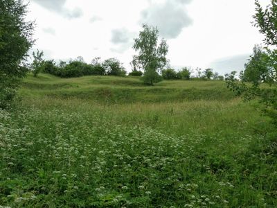
Přehon, protected area in Czech Republic
Emplacement : Chvalnov
Création : 18 mars 1955
Coordonnées GPS : 49.17180,17.23630
Dernière mise à jour : 3 mars 2025 à 19:23
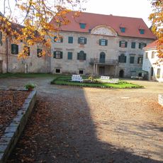
Litenčice Castle
4 km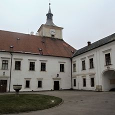
Střílky Castle
3.8 km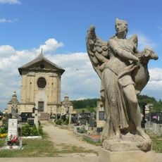
Baroque cemetery in Střílky
3.8 km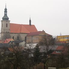
Church of the Assumption of the Virgin Mary
3.9 km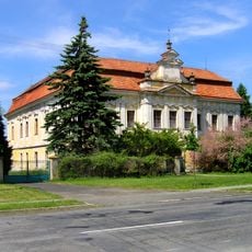
Cetechovice
1.8 km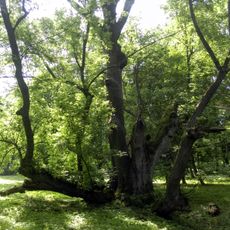
Litenčický jasan
4 km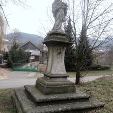
Socha svatého Jana Nepomuckého
3.8 km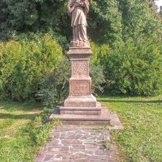
Socha svatého Jana Nepomuckého
3.7 km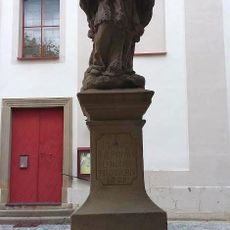
Socha svatého Jana Nepomuckého
4.1 km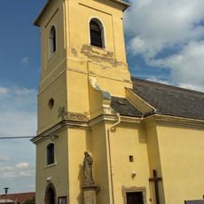
Church of the Visitation of Our Lady
1.9 km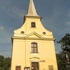
Church of Saint Giles
4.1 km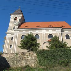
Church of Saints Peter and Paul
4.2 km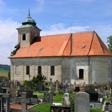
Church of Saint James the Greater
3.2 km
Church of Saint James the Greater
708 m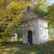
Chapel of Saint Anne
3.6 km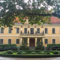
Zámek Hoštice
4 km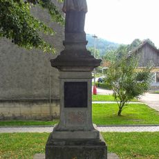
Socha svatého Jana Nepomuckého
1.7 km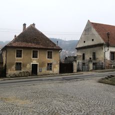
Deputátní dům čp. 205
3.9 km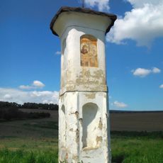
Boží muka
3.8 km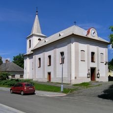
Church of Saint Anne
4.1 km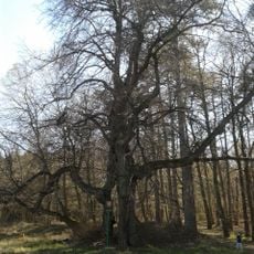
Lípa u Roštína
3.7 km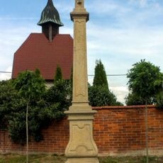
Kříž z roku 1753
2 km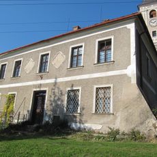
Fara
4.2 km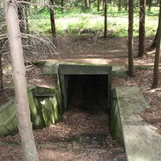
Podchod pod nedokončenou dálnicí v lese východně od Zástřizel
2.8 km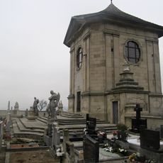
Hřbitovní kaple ve Střílkách
3.8 km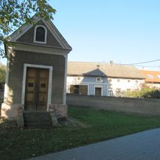
Chapel of Virgin Mary
4.2 km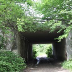
Highway bridge east of Zástřizly
2.5 km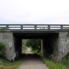
Highway bridge in Zástřizly
2.2 kmVous avez visité ce lieu ? Touchez les étoiles pour le noter et partager votre expérience ou vos photos avec la communauté ! Essayez maintenant ! Vous pouvez annuler à tout moment.
Trouvez des trésors cachés à chaque coin de rue !
Des petits cafés pittoresques aux points de vue planqués, fuyez la foule et dénichez les lieux qui vous ressemblent vraiment. Notre app vous facilite la vie : recherche vocale, filtres malins, itinéraires optimisés et bons plans partagés par des voyageurs du monde entier. Téléchargez vite pour vivre l'aventure en version mobile !

Une approche inédite de la découverte touristique❞
— Le Figaro
Tous les lieux qui valent la peine d'être explorés❞
— France Info
Une excursion sur mesure en quelques clics❞
— 20 Minutes