
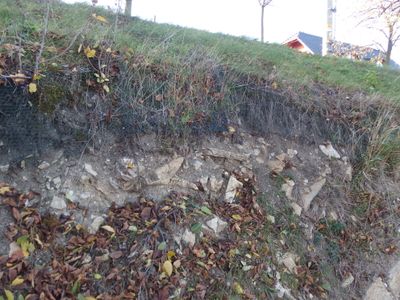
Pod Husí horou, protected area in Czech Republic
Emplacement : Hluk
Création : 1 octobre 2002
Coordonnées GPS : 48.98330,17.51560
Dernière mise à jour : 5 mars 2025 à 23:16
St. Anthony's Hill
4 km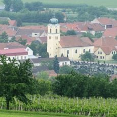
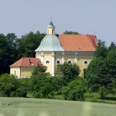
Church of Saint Andrew
5.6 km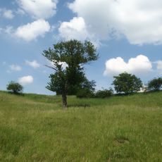
Babí hora
4.6 km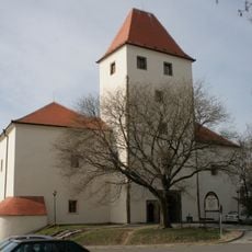
Stronghold Hluk
906 m
Okluky
837 m
Kobylí hlava
3 km
Střečkův kopec
3.7 km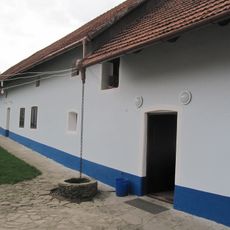
Stojaspalův mlýn
5.4 km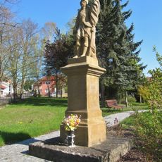
Socha svatého Floriána
5.2 km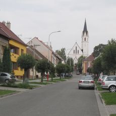
Church of Saints Philip and James
5.2 km
Church of Saint Lawrence
1.1 km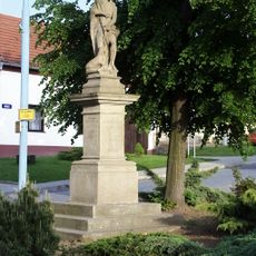
Socha svatého Jana Křtitele
3.3 km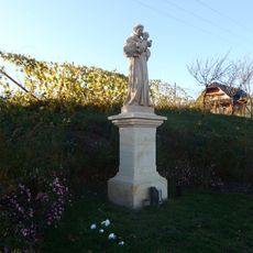
Socha svatého Antonína Paduánského v ulici Antonínská v Hluku
79 m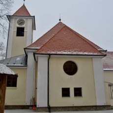
Church of Saint James the Greater
5.6 km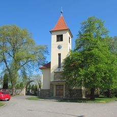
Church of the Assumption of the Virgin Mary
5.2 km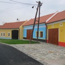
Usedlost čp. 283
594 m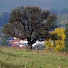
Hrušeň obecná
4.8 km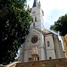
Church of Saint James the Elder
3.3 km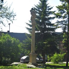
Maria column in Blatnice pod Svatým Antonínkem
5.6 km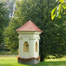
Boží muka
3.8 km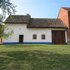
Usedlost čp. 57
5.6 km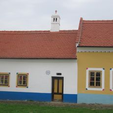
Usedlost čp. 284
589 m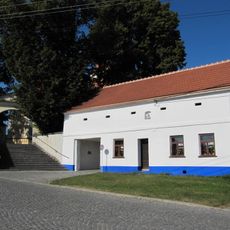
Usedlost čp. 739
5.6 km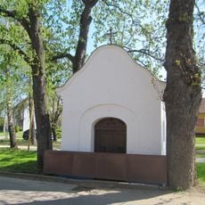
Kaplička
5.4 km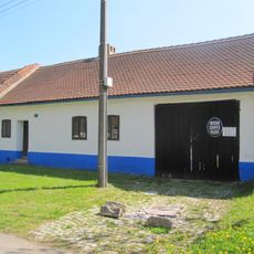
Usedlost čp. 65
5.5 km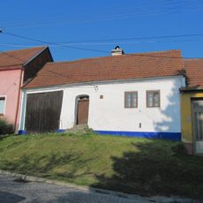
Usedlost čp. 121
5.6 km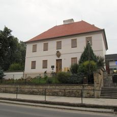
Fara
1.1 km
Kobylí hlava
3.1 kmVous avez visité ce lieu ? Touchez les étoiles pour le noter et partager votre expérience ou vos photos avec la communauté ! Essayez maintenant ! Vous pouvez annuler à tout moment.
Trouvez des trésors cachés à chaque coin de rue !
Des petits cafés pittoresques aux points de vue planqués, fuyez la foule et dénichez les lieux qui vous ressemblent vraiment. Notre app vous facilite la vie : recherche vocale, filtres malins, itinéraires optimisés et bons plans partagés par des voyageurs du monde entier. Téléchargez vite pour vivre l'aventure en version mobile !

Une approche inédite de la découverte touristique❞
— Le Figaro
Tous les lieux qui valent la peine d'être explorés❞
— France Info
Une excursion sur mesure en quelques clics❞
— 20 Minutes