
Platěnsko, village in Pardubice District of Pardubice region
Emplacement : Moravany
Coordonnées GPS : 50.00250,15.95330
Dernière mise à jour : 7 mars 2025 à 07:15
Church of Saint Catherine
3.1 km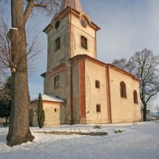
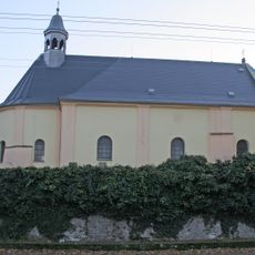
Church of Saint Giles
858 m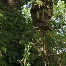
Sousoší svatého Jana Nepomuckého s andělem
914 m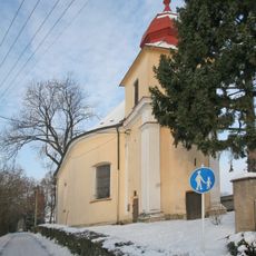
Church of Saints Peter and Paul in Moravany
771 m
Pomník
3.2 km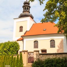
Church of the Exaltation of the Holy Cross
1.4 km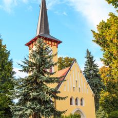
Church of the Visitation of the Virgin Mary (Kostěnice)
3.7 km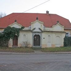
Rectory in Horní Roveň
3.1 km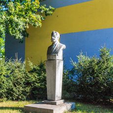
Pomník
3.8 km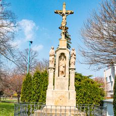
Kříž
3.2 km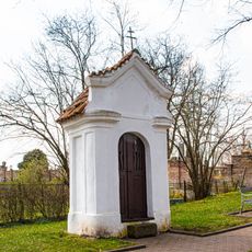
Kaplička
3.1 km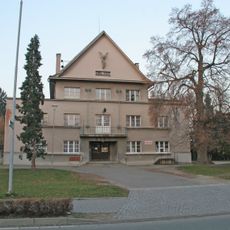
Sokolovna
3.1 km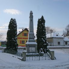
Pomník obětem I. a II. světové války
970 m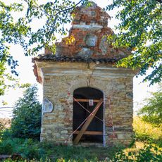
Chapel of Virgin Mary
2.6 km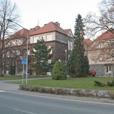
Škola
3.1 km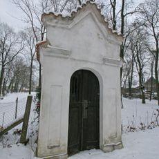
Chapel of Saint Wenceslaus
3.2 km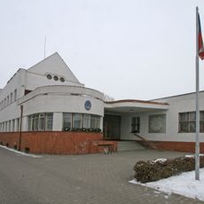
Obecní úřad
3.2 km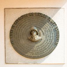
Pamětní deska
3.2 km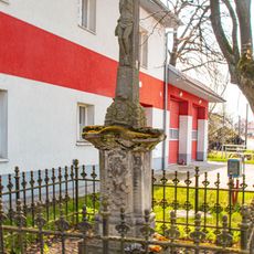
Kříž
3.6 km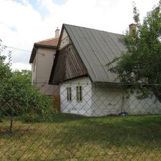
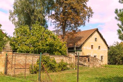
Venkovská usedlost
3.4 km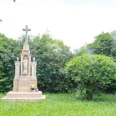
Kříž v Moravanech u kostela
800 m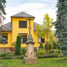
Kříž v Moravanech na náměstí Hrdinů
904 m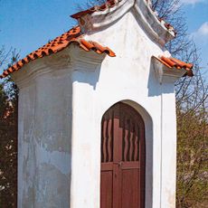
Horní Roveň - výklenková kaple u školy
3.2 km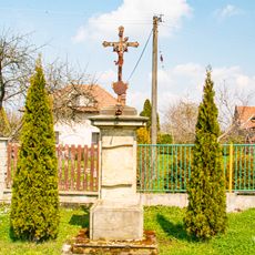
Kříž v Horní Rovni poblíž školy
3.1 km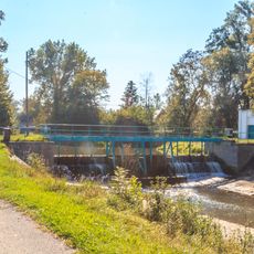
Jez Dašice
3.8 km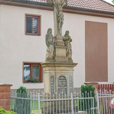
Kříž v Moravanském východní část obce
2.6 km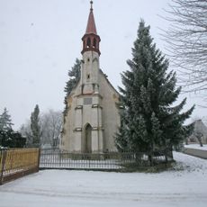
Chapel of the Nativity of the Virgin Mary
2.7 km
Sušárna
3.3 kmAvis
Vous avez visité ce lieu ? Touchez les étoiles pour le noter et partager votre expérience ou vos photos avec la communauté ! Essayez maintenant ! Vous pouvez annuler à tout moment.
Trouvez des trésors cachés à chaque coin de rue !
Des petits cafés pittoresques aux points de vue planqués, fuyez la foule et dénichez les lieux qui vous ressemblent vraiment. Notre app vous facilite la vie : recherche vocale, filtres malins, itinéraires optimisés et bons plans partagés par des voyageurs du monde entier. Téléchargez vite pour vivre l'aventure en version mobile !

Une approche inédite de la découverte touristique❞
— Le Figaro
Tous les lieux qui valent la peine d'être explorés❞
— France Info
Une excursion sur mesure en quelques clics❞
— 20 Minutes