
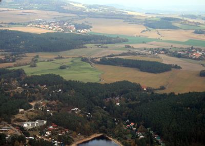
Kamenice, Village in Příbram District of Central Bohemian region
Emplacement : Klučenice
Coordonnées GPS : 49.55250,14.19110
Dernière mise à jour : 16 avril 2025 à 09:01
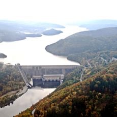
Réservoir d'Orlík
3.5 km
Moldau-Kaskade
2.2 km
Žíkovec
2.1 km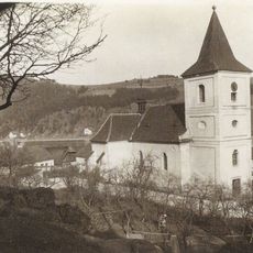
Kostel svatého Štěpána
3.8 km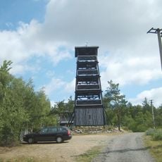
Onen svět
3.5 km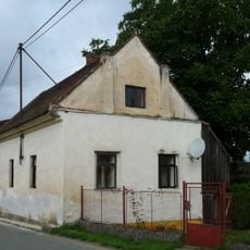
Synagogue in Klučenice
1.6 km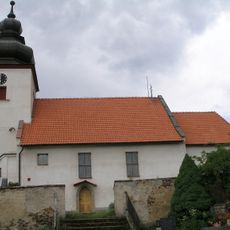
Church of the Visitation of Our Lady
3.6 km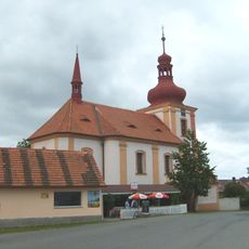
Church of Saint John the Baptist and Saint Anthony the Great
1.5 km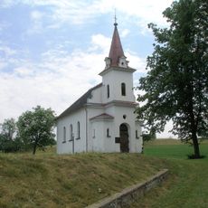
Church of the Assumption of the Virgin Mary in Milešov
4.5 km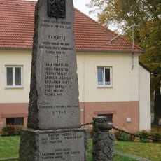
Pomník obětem nacismu
3.5 km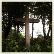
Kříž na Onom Světě
3.4 km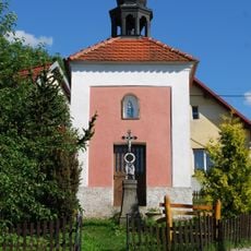
Chapel of Saint Wenceslaus
3 km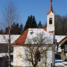
Chapel of Virgin Mary
3.2 km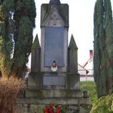
World War I memorial in Zahořany
2.9 km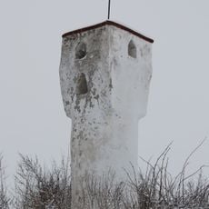
Boží muka
2.7 km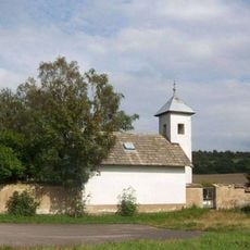
Hřbitovní kaple východně od Klučenic
2.1 km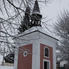
Chapel of Virgin Mary
2.9 km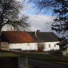
Usedlost čp. 26
3 km
A fortress with a farm yard
2.2 km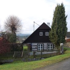
Usedlost čp. 17
3 km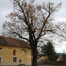
Klučenická lípa
1.5 km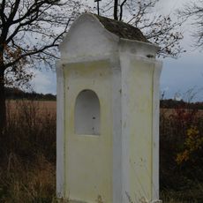
Kaplička západně od Plané
2.4 km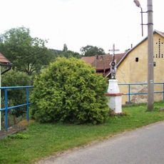
Kříž v Milešově u křižovatky
4.4 km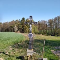
Kříž nad Jezvinou
4.3 km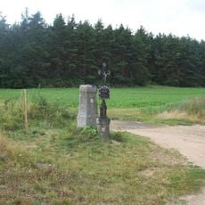
Kříže jižně od Milešova
3.6 km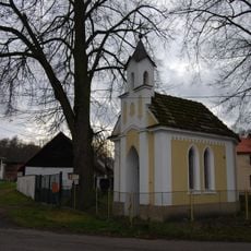
Kaple v Koubalově Lhotě
2.7 km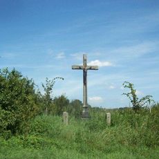
Kříž jižně od Lašovic
3.6 km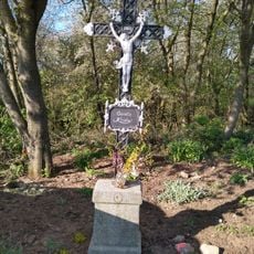
Kříž na hranici katastrů Zadního Chlumu a Plané
3.8 kmVous avez visité ce lieu ? Touchez les étoiles pour le noter et partager votre expérience ou vos photos avec la communauté ! Essayez maintenant ! Vous pouvez annuler à tout moment.
Trouvez des trésors cachés à chaque coin de rue !
Des petits cafés pittoresques aux points de vue planqués, fuyez la foule et dénichez les lieux qui vous ressemblent vraiment. Notre app vous facilite la vie : recherche vocale, filtres malins, itinéraires optimisés et bons plans partagés par des voyageurs du monde entier. Téléchargez vite pour vivre l'aventure en version mobile !

Une approche inédite de la découverte touristique❞
— Le Figaro
Tous les lieux qui valent la peine d'être explorés❞
— France Info
Une excursion sur mesure en quelques clics❞
— 20 Minutes