
Vrbka, village in Opava District of Moravian Silesian region
Emplacement : Služovice
Altitude : 270 m
Coordonnées GPS : 49.98560,18.01250
Dernière mise à jour : 29 mars 2025 à 05:55
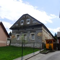
Venkovská usedlost Rohov
5.5 km
Educational Trail Hněvošický Háj
2.5 km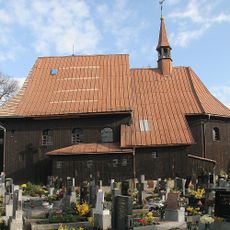
Church of Saints Peter and Paul
2.2 km
WOP post Ściborzyce
3.7 km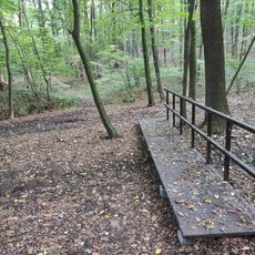
Nature Reserve Hněvošický háj
2.2 km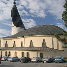
Church of the Good Shepherd
2.2 km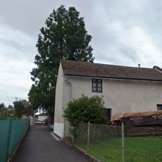
Metasequoia in Oldřišov
4.1 km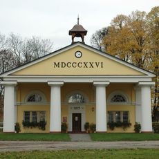
Reithalle
4.4 km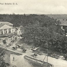
Schloss Hilvetihof
4.5 km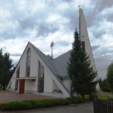
Chapel of the Assumption
1.2 km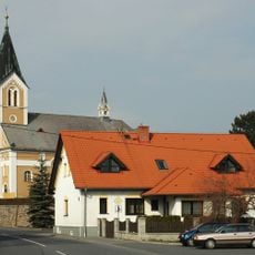
Church of Saint Catherine of Alexandria
3.4 km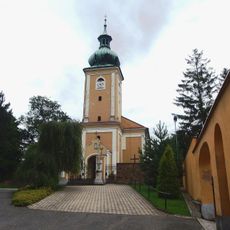
Church of the Nativity of the Virgin Mary
3.4 km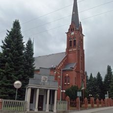
Church of the Assumption
2.8 km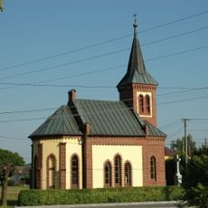
Chapel of Saint Joseph
1.8 km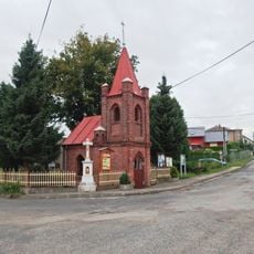
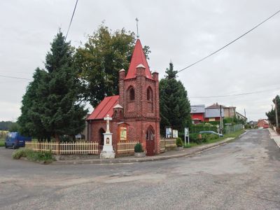
Chapel of the Visitation
61 m
Sýpka u čp. 211
3 km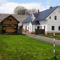
Sýpka u čp. 13
3.1 km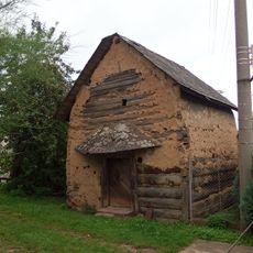
Sýpka u čp. 18
3 km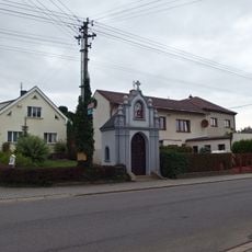
Chapel of the Sacred Heart
2.7 km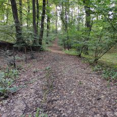
SAC Hněvošický háj
2.3 km
Chapel of the Saint John the Baptist
1.1 km
Chapel of Saint John of Nepomuk
2.8 km
Chapel of the Virgin Mary of the Rosery
4.2 km
Kaplička v Oldřišově poblíž křižovatky ulic Svobody a Jaselská
4 km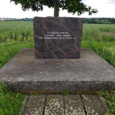
Pomník padlým severně od Hněvošic u státní hranice
2.7 km
World Wars memorial in Kobeřice
2.8 km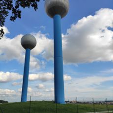
Water tanks of Hněvošice
2.1 km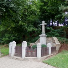
Kříž v Oldřišově před kostelem Narození Panny Marie
3.5 kmVous avez visité ce lieu ? Touchez les étoiles pour le noter et partager votre expérience ou vos photos avec la communauté ! Essayez maintenant ! Vous pouvez annuler à tout moment.
Trouvez des trésors cachés à chaque coin de rue !
Des petits cafés pittoresques aux points de vue planqués, fuyez la foule et dénichez les lieux qui vous ressemblent vraiment. Notre app vous facilite la vie : recherche vocale, filtres malins, itinéraires optimisés et bons plans partagés par des voyageurs du monde entier. Téléchargez vite pour vivre l'aventure en version mobile !

Une approche inédite de la découverte touristique❞
— Le Figaro
Tous les lieux qui valent la peine d'être explorés❞
— France Info
Une excursion sur mesure en quelques clics❞
— 20 Minutes