
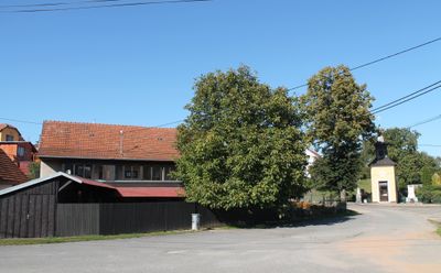
Jemnice, part of Strážek in Žďár nad Sázavou District
Emplacement : Strážek
Coordonnées GPS : 49.43830,16.17420
Dernière mise à jour : 11 mars 2025 à 09:39
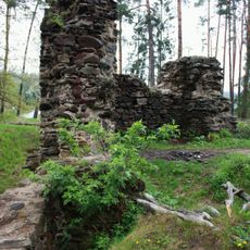
Mitrov (ruins)
3 km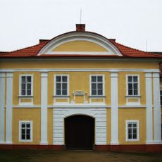
Moravec Castle
2.3 km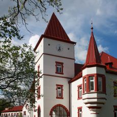
Mitrov
3.2 km
Šikland
4.1 km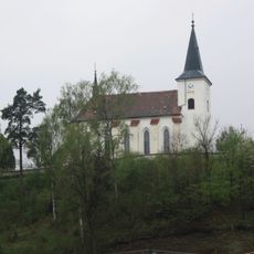
Church of Saints Simon and Jude
1.6 km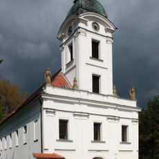
Church of the Finding and of the Exaltation of the Holy Cross
2.3 km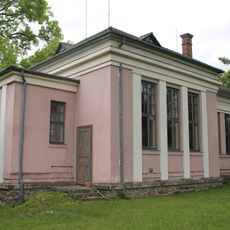
Protestant church in Blažkov
3.9 km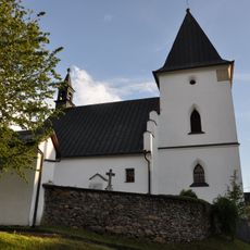
Church of Saint James the Greater (Bukov)
3.9 km
Chapelle de sainte Ludmila de Bohême de Horní Libochová
3.9 km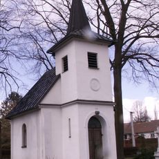
Chapel of Saint Procopius
3.9 km
Stone bridge in Dolní Libochová
3.7 km
Obecník
3.4 km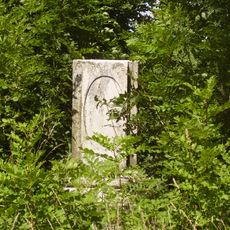
Socha svatého Jana Nepomuckého
1.4 km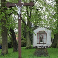
Chapel of Saint Florian (Strážek)
1.4 km
Wayside cross
3.6 km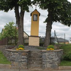
Column shrine in Blažkov
4.1 km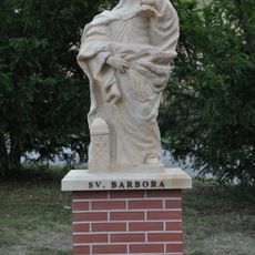
Socha svaté Barbory
1 km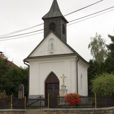
Chapel of Virgin Mary
3.4 km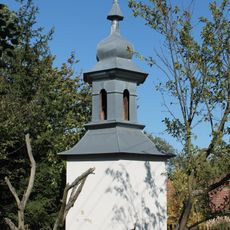
Bell tower in Mirošov
3.2 km
Dům čp. 18
3.9 km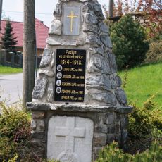
World War I memorial in Bukov
3.9 km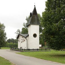
Chapel of Saint Anne and Saint Florian
2 km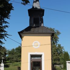
Chapel in Jemnice
37 m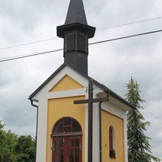
Chapel of Saints Cyril and Methodius
4.1 km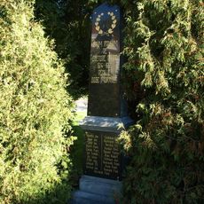
Pomník padlým v Moravci
2.2 km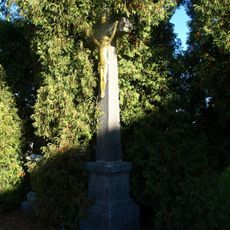
Kříž v Moravci
2.2 km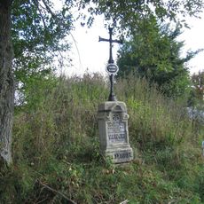
Pamětní kříž na okraji Strážku při silnici na Mitrov
2.2 km
Rozcestník Krčma
3.8 kmAvis
Vous avez visité ce lieu ? Touchez les étoiles pour le noter et partager votre expérience ou vos photos avec la communauté ! Essayez maintenant ! Vous pouvez annuler à tout moment.
Trouvez des trésors cachés à chaque coin de rue !
Des petits cafés pittoresques aux points de vue planqués, fuyez la foule et dénichez les lieux qui vous ressemblent vraiment. Notre app vous facilite la vie : recherche vocale, filtres malins, itinéraires optimisés et bons plans partagés par des voyageurs du monde entier. Téléchargez vite pour vivre l'aventure en version mobile !

Une approche inédite de la découverte touristique❞
— Le Figaro
Tous les lieux qui valent la peine d'être explorés❞
— France Info
Une excursion sur mesure en quelques clics❞
— 20 Minutes