
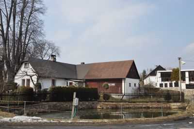
Vernýřov, village in Kutná Hora District of Central Bohemian region
Emplacement : Chlístovice
Coordonnées GPS : 49.84780,15.15690
Dernière mise à jour : 9 mars 2025 à 07:01

Čestín
5.9 km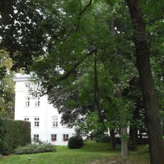
Morány
4.6 km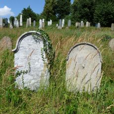
Jewish cemetery in Zbraslavice
3.8 km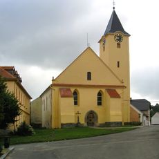
Church of Saint Lawrence (Zbraslavice)
4.4 km
Březina (rozhledna)
2.9 km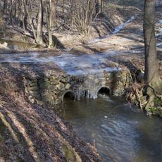
Bridge over the Zdeslavický potok nearby Újezd
4.9 km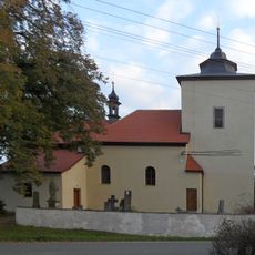
Church of the Nativity of the Virgin Mary in Košice
5.3 km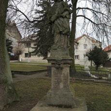
Statue of John of Nepomuk
4.4 km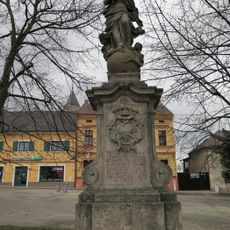
Socha Panny Marie Immaculaty
4.4 km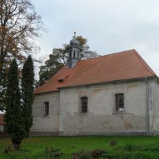
Church of Saint John the Baptist (Svatý Jan t. Krsovice)
1.1 km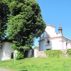
Church of the Assumption of the Virgin Mary
5 km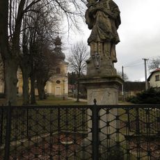
Socha svatého Jana Nepomuckého
4.1 km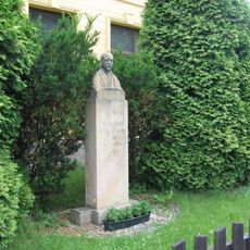
Pomník presidenta T. G. Masaryka v Sudějově před obecním úřadem
4 km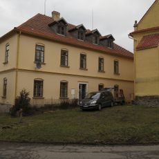
Former School No. 149
4.4 km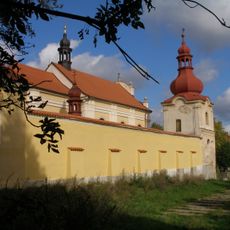
Church of Saint Anne
4 km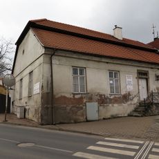
House No. 11
4.5 km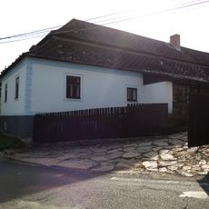
Usedlost čp. 11
5.5 km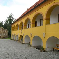
Zbraslavice Castle
4.3 km
Saint Anne chapel in Zdeslavice
3.3 km
Most přes Vrchlici v Bahýnku
4.8 km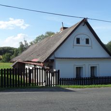
Dům čp. 23
5 km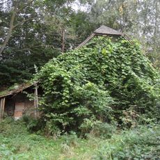
Kovárna
2.1 km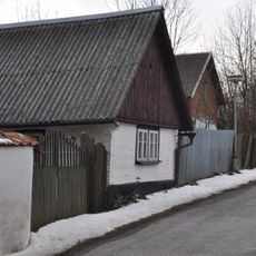
Dům čp. 41
2.7 km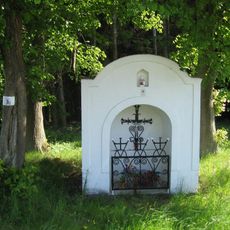
Kaplička u silnice jižně od Rašovic
4.8 km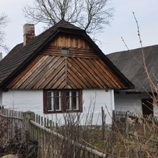
Usedlost čp. 5
2.6 km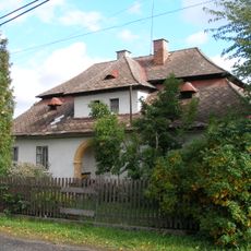
Fara
4 km
Kaplička nad studánkou poblíž poutního kostela ve středu Sudějova
4 km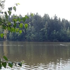
Fish pond Vidlák
3.6 kmVous avez visité ce lieu ? Touchez les étoiles pour le noter et partager votre expérience ou vos photos avec la communauté ! Essayez maintenant ! Vous pouvez annuler à tout moment.
Trouvez des trésors cachés à chaque coin de rue !
Des petits cafés pittoresques aux points de vue planqués, fuyez la foule et dénichez les lieux qui vous ressemblent vraiment. Notre app vous facilite la vie : recherche vocale, filtres malins, itinéraires optimisés et bons plans partagés par des voyageurs du monde entier. Téléchargez vite pour vivre l'aventure en version mobile !

Une approche inédite de la découverte touristique❞
— Le Figaro
Tous les lieux qui valent la peine d'être explorés❞
— France Info
Une excursion sur mesure en quelques clics❞
— 20 Minutes