
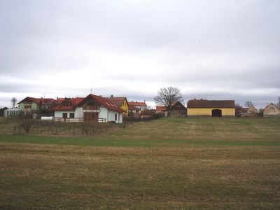
Budín, village in Příbram District of Central Bohemian region
Emplacement : Rybníky
Coordonnées GPS : 49.74780,14.18860
Dernière mise à jour : 15 avril 2025 à 03:35
Jezírko u Dobříše
3.1 km
Pařezitý
1.3 km
Svaté Pole
1.3 km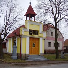
Chapel of Saint Anthony of Padua
2.6 km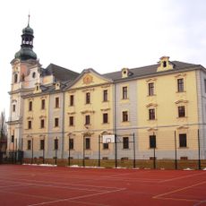
Monastery in Obořiště
2.8 km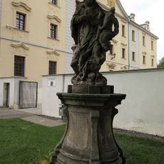
Statue of John of Nepomuk in Obořiště
2.7 km
Church of Saint Elisabeth of Thuringia
1.4 km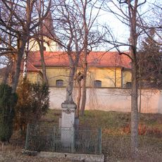
Pomník padlých
1.4 km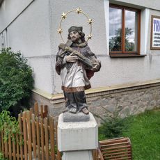
Socha sv. Jana Nepomuckého u mostu
2.7 km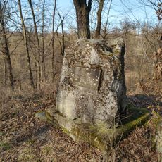
Pomník na Chotobuši
3 km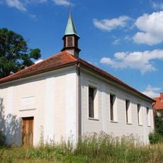
Evangelical church
1.2 km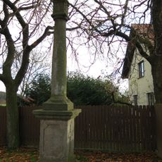
Boží muka
1.4 km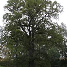
Dobříšský dub
3 km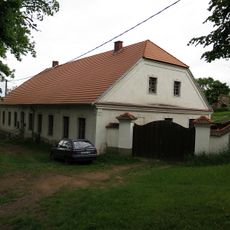
Fara
1.4 km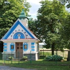
Chapel of the Assumption of the Virgin Mary near Budínek
904 m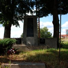
Památník padlých
1.2 km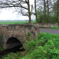
Bridge of Rybníky - Dolík road over the Sychrovský potok
1.1 km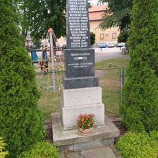
Památník padlých
2.7 km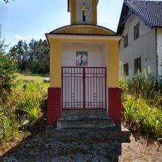
Chapel on Libice
1.7 km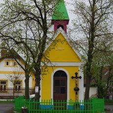
Chapel of Saint John of Nepomuk in Rybníky
1.4 km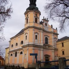
Church of Saint Joseph
2.8 km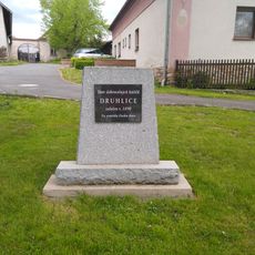
Památník hasičů
2.6 km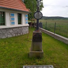
Kříž u kaple na Budínku
901 m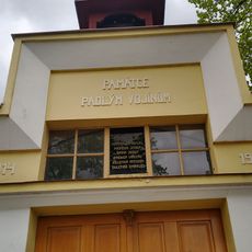
Pamětní desky v Druhlicích
2.6 km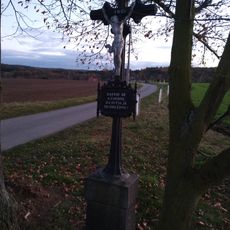
Kříž u cesty na Budín
387 m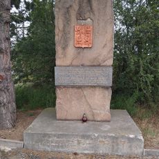
Partyzánský pomník u dálnice
2.4 km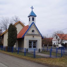
Kaple ve Lhotce
2.6 km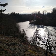
Chotobuš
2.9 kmVous avez visité ce lieu ? Touchez les étoiles pour le noter et partager votre expérience ou vos photos avec la communauté ! Essayez maintenant ! Vous pouvez annuler à tout moment.
Trouvez des trésors cachés à chaque coin de rue !
Des petits cafés pittoresques aux points de vue planqués, fuyez la foule et dénichez les lieux qui vous ressemblent vraiment. Notre app vous facilite la vie : recherche vocale, filtres malins, itinéraires optimisés et bons plans partagés par des voyageurs du monde entier. Téléchargez vite pour vivre l'aventure en version mobile !

Une approche inédite de la découverte touristique❞
— Le Figaro
Tous les lieux qui valent la peine d'être explorés❞
— France Info
Une excursion sur mesure en quelques clics❞
— 20 Minutes