
Chlumín, village in Mladá Boleslav District of Central Bohemian region
Emplacement : Kněžmost
Altitude : 234 m
Coordonnées GPS : 50.46080,15.02640
Dernière mise à jour : 4 mars 2025 à 23:31

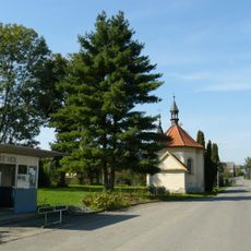
Chapel of Saint Anne
3.2 km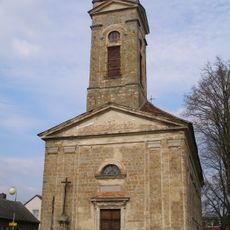
Church of Saint Francis of Assisi (Kněžmost)
3.3 km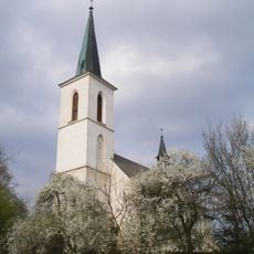
Church of the Assumption of the Virgin Mary
3.5 km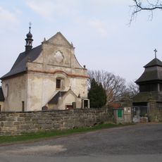
Holy Trinity church
2.5 km
Římskokatolická farnost Kněžmost
3.3 km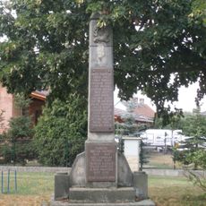
World Wars Memorial in Obrubce
3 km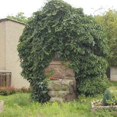
World War I memorial in Buda
3.7 km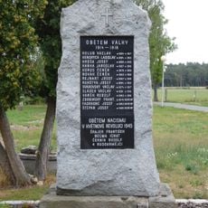
World Wars I and II memorial in Sukorady
3.9 km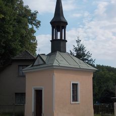
Chapel of the Assumption in Buda
3.7 km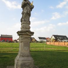
Socha svatého Jana Nepomuckého
3.2 km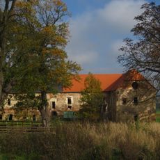
Studénka
3.9 km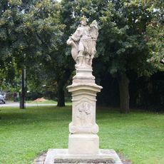
Socha svatého Václava
3.9 km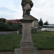
Socha svatého Jana Nepomuckého
2.9 km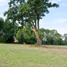
Dub letní v Budě
3.6 km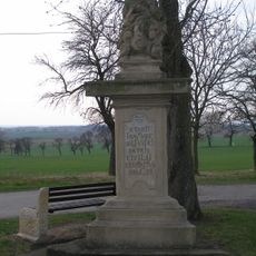
Sousoší Nejsvětější Trojice
2.5 km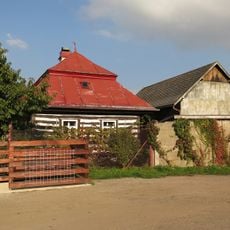
Dům čp. 59
3.4 km
Dům U Cerhů
3.3 km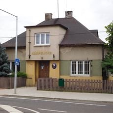
Sukorady municipal office
3.8 km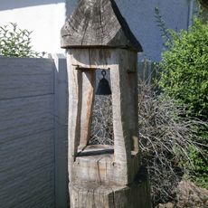
Bell tower in Obruby
4.1 km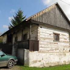
Hospodářská budova usedlosti čp. 18
3.9 km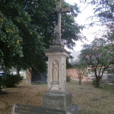
Cross in Obora
2.2 km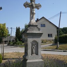
Cross at village green in Obruby
3.9 km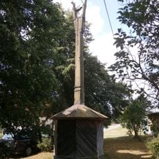
Bell tower in Obora
2.2 km
Wooden bell tower in Všeborsko
2.5 km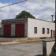
Obrubce municipal office
3.1 km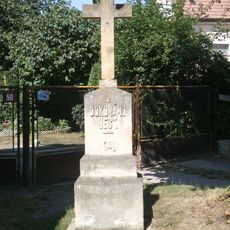
Cross in Obruby
4 km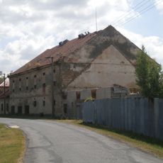
Granary in Obrubce
3 km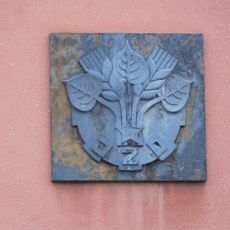
Relief in Sukorady
3.9 kmAvis
Vous avez visité ce lieu ? Touchez les étoiles pour le noter et partager votre expérience ou vos photos avec la communauté ! Essayez maintenant ! Vous pouvez annuler à tout moment.
Trouvez des trésors cachés à chaque coin de rue !
Des petits cafés pittoresques aux points de vue planqués, fuyez la foule et dénichez les lieux qui vous ressemblent vraiment. Notre app vous facilite la vie : recherche vocale, filtres malins, itinéraires optimisés et bons plans partagés par des voyageurs du monde entier. Téléchargez vite pour vivre l'aventure en version mobile !

Une approche inédite de la découverte touristique❞
— Le Figaro
Tous les lieux qui valent la peine d'être explorés❞
— France Info
Une excursion sur mesure en quelques clics❞
— 20 Minutes