
Chlum, village in Chrudim District of Pardubice region
Emplacement : Hluboká
Coordonnées GPS : 49.86140,16.08690
Dernière mise à jour : 17 mars 2025 à 07:48
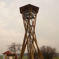
Borůvka observation tower
3 km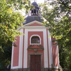
Paletínská kaple (Luže)
3.8 km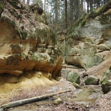
Pivnice
2.1 km
Střemošická stráň
2.8 km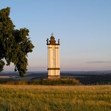
Poklona
3.8 km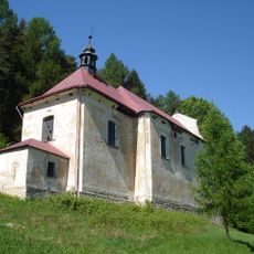
Church of the Annunciation of the Virgin Mary (Doly)
3.6 km
Střítěžská rokle
1.2 km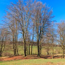
Žižkův stůl (tvrz)
3 km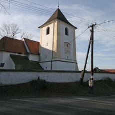
Church of Saint John the Baptist (Perálec)
3.9 km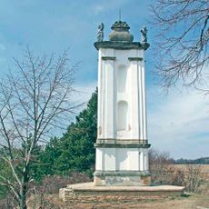
Chapel-shrine of the Holy Trinity
3.8 km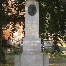
World War I memorial in Podhořany
3.6 km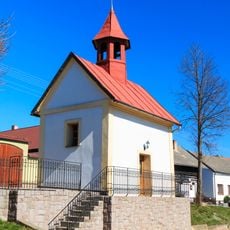
Chapel in Zderaz
3.8 km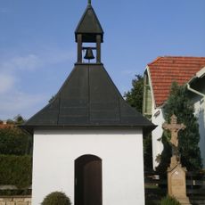
Bell tower in Leština
2.3 km
Lípa srdčitá
3.5 km
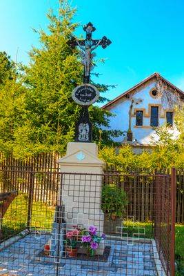
Cross in Podhořany
3.6 km
Cross in Leština
2.3 km
Cross in Rybníček
3.7 km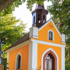
Chapel of Virgin Mary
3.6 km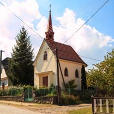
Chapel of Our Lady of Help
2.6 km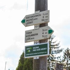
Rozcestník Lhota u Skutče
3.2 km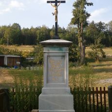
Cross in Mokrá Lhota
3.2 km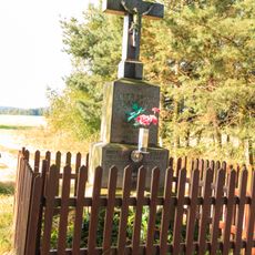
Kříž v Mokré Lhotě západní okraj obce
2.9 km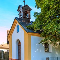
Chapel in Střítěž
1 km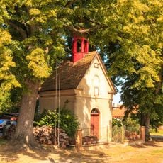
Chapel of Saints Peter and Paul
3.2 km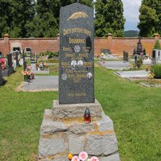
Pomník padlým v Leštině (oběti z Doubravic)
1.8 km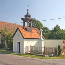
Chapel in Bílý Kůň
2.6 km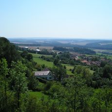
Střemošická stráň
2.9 km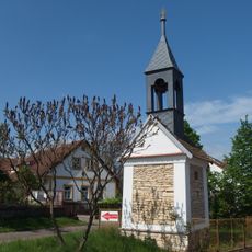
Chapel in Brdo
1.7 kmAvis
Vous avez visité ce lieu ? Touchez les étoiles pour le noter et partager votre expérience ou vos photos avec la communauté ! Essayez maintenant ! Vous pouvez annuler à tout moment.
Trouvez des trésors cachés à chaque coin de rue !
Des petits cafés pittoresques aux points de vue planqués, fuyez la foule et dénichez les lieux qui vous ressemblent vraiment. Notre app vous facilite la vie : recherche vocale, filtres malins, itinéraires optimisés et bons plans partagés par des voyageurs du monde entier. Téléchargez vite pour vivre l'aventure en version mobile !

Une approche inédite de la découverte touristique❞
— Le Figaro
Tous les lieux qui valent la peine d'être explorés❞
— France Info
Une excursion sur mesure en quelques clics❞
— 20 Minutes