
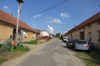
Borová, village in Jindřichův Hradec District of South Bohemian region
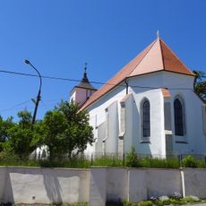
Church of the Annunciation of the Virgin Mary
1 km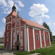
Church of the Exaltation of the Holy Cross (Knínice)
2 km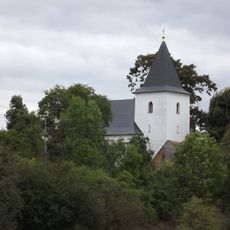
Church of Saint Giles
2.1 km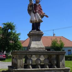
Statue of John of Nepomuk in Budeč
1 km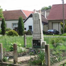
Památník obětem 1. sv. války v Knínici
2 km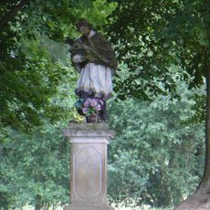
Socha svatého Jana Nepomuckého
1.9 km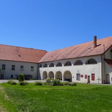
Budeč Castle
960 m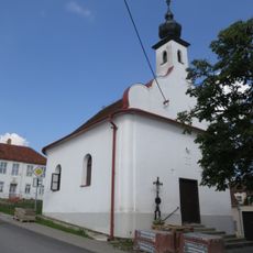
Chapel of Saints Peter and Paul
1.5 km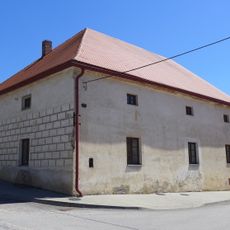
Usedlost čp. 4
2 km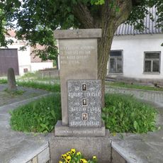
Památník obětem 2. sv. války v Lomech
1.5 km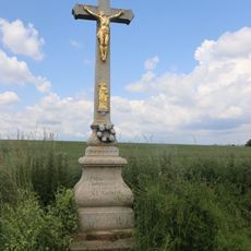
Kříž severně od Chotěbudic
1.9 km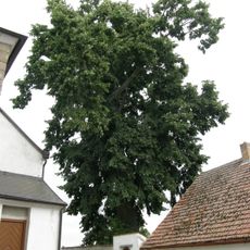
Slatinská lípa
2.1 km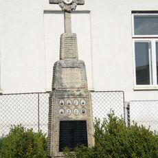
World War I memorial
1.5 km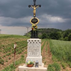
Kříž západně od Radkovic u Budče
1.9 km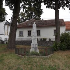
World War I memorial in Horní Slatina
2.1 km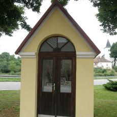
Chapel in Horní Slatina
2.2 km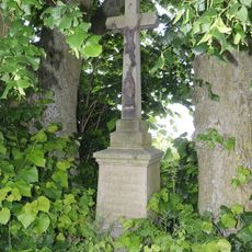
Kříž u silnice u Lomů
1.7 km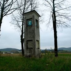
Boží muka v Knínicích
1.6 km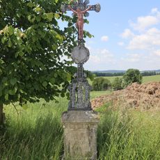
Kříž severně od Lomů
499 m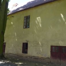
Fara
996 m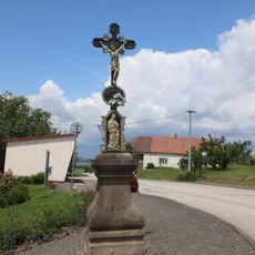
Kříž v Lomech
1.4 km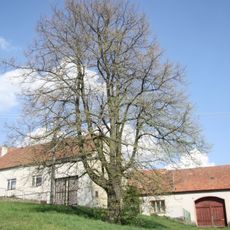
Lípa u školy
1.5 km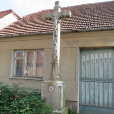
Kříž v Borové
53 m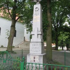
World Wars memorial in Budeč
1 km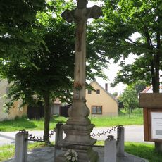
Kříž v Knínici
2 km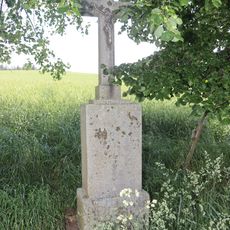
Kříž jižně od Lomů
2.1 km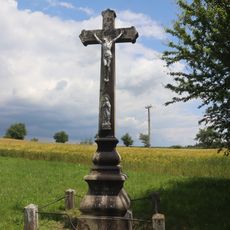
Kříž na severním okraji Lomů
1.5 km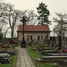
Hřbitovní kříž
1.2 kmVous avez visité ce lieu ? Touchez les étoiles pour le noter et partager votre expérience ou vos photos avec la communauté ! Essayez maintenant ! Vous pouvez annuler à tout moment.
Trouvez des trésors cachés à chaque coin de rue !
Des petits cafés pittoresques aux points de vue planqués, fuyez la foule et dénichez les lieux qui vous ressemblent vraiment. Notre app vous facilite la vie : recherche vocale, filtres malins, itinéraires optimisés et bons plans partagés par des voyageurs du monde entier. Téléchargez vite pour vivre l'aventure en version mobile !

Une approche inédite de la découverte touristique❞
— Le Figaro
Tous les lieux qui valent la peine d'être explorés❞
— France Info
Une excursion sur mesure en quelques clics❞
— 20 Minutes