
Šafránová stráň, protected area in Czech Republic
Emplacement : Suchý Důl
Création : 16 juin 2009
Coordonnées GPS : 50.54220,16.27780
Dernière mise à jour : 5 mars 2025 à 20:30

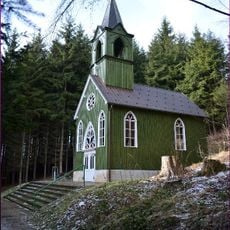
Ticháčkova kaple
1.5 km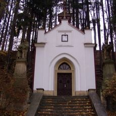
Chapel of Our Lady of Lourdes
1.5 km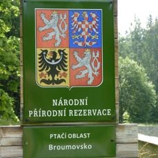
Ptačí oblast Broumovsko
1.3 km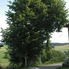
Barešova lípa
1.5 km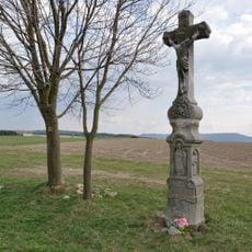
Jansův kříž
475 m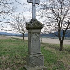
Nemejtův kříž
441 m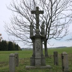
Soubor soch Vambeřické cesty
1.9 km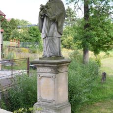
Statue of John of Nepomuk
956 m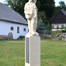
Peasants memorial in Suchý Důl
845 m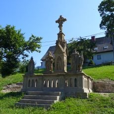
Sculpture of Crucifixion of Christ in Hlavňov
1.9 km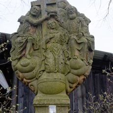
Statue of the Coronation of Mary
842 m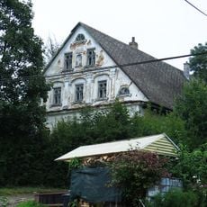
Suchý Důl čp. 27
769 m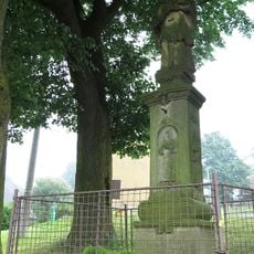
Statue of John of Nepomuk
739 m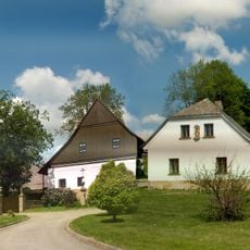
Suchý Důl čp. 1, 124, 125
841 m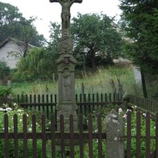
Krucifix
751 m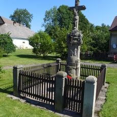
Wayside cross in the center of Suchý Důl
832 m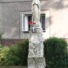
Statue of Virgin Mary in Suchý Důl
989 m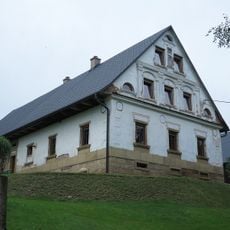
Usedlost čp. 3
682 m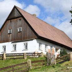
Usedlost čp. 28
816 m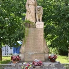
World Wars memorial in Suchý Důl
932 m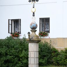
Wayside cross in front of homestead No. 1
850 m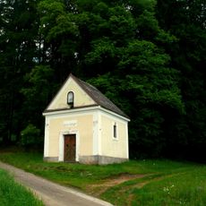
Chapel of Saint Anna
2 km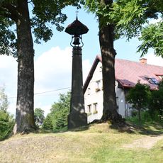
Bell tower in Suchý Důl
782 m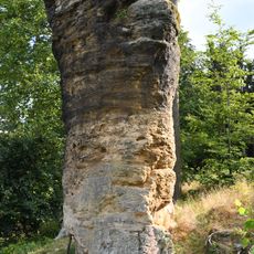
Čertova skála
1.2 km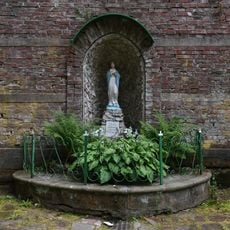
Spring with statue of Virgin Mary
1.6 km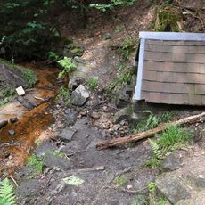
Setonova studánka
1.6 km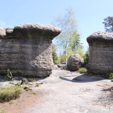
Kamenné hřiby
1.5 km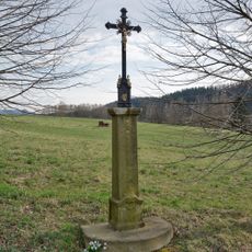
Kříž u Trhovice
632 mVous avez visité ce lieu ? Touchez les étoiles pour le noter et partager votre expérience ou vos photos avec la communauté ! Essayez maintenant ! Vous pouvez annuler à tout moment.
Trouvez des trésors cachés à chaque coin de rue !
Des petits cafés pittoresques aux points de vue planqués, fuyez la foule et dénichez les lieux qui vous ressemblent vraiment. Notre app vous facilite la vie : recherche vocale, filtres malins, itinéraires optimisés et bons plans partagés par des voyageurs du monde entier. Téléchargez vite pour vivre l'aventure en version mobile !

Une approche inédite de la découverte touristique❞
— Le Figaro
Tous les lieux qui valent la peine d'être explorés❞
— France Info
Une excursion sur mesure en quelques clics❞
— 20 Minutes