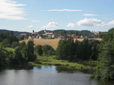
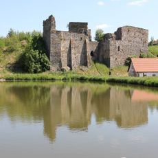
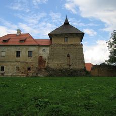
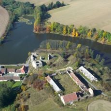
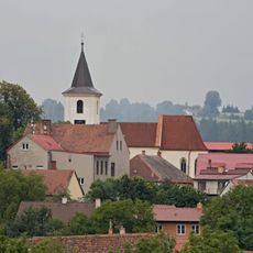
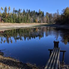
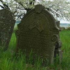
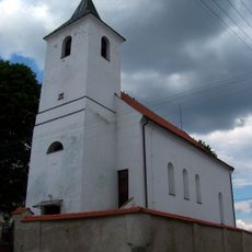
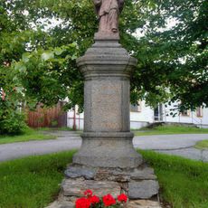
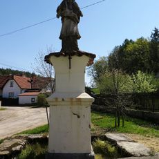
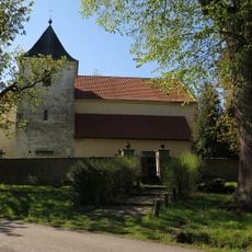
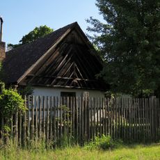
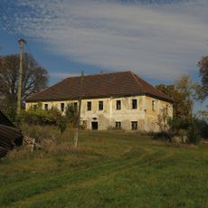
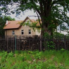
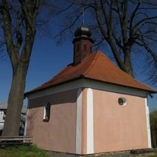
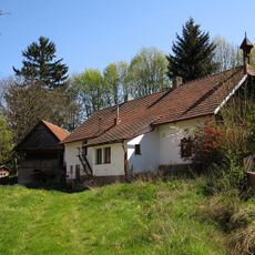
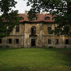
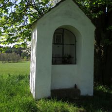
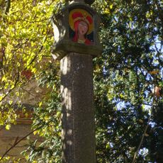
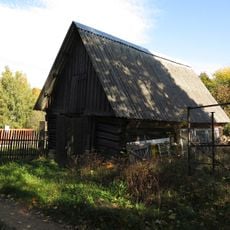
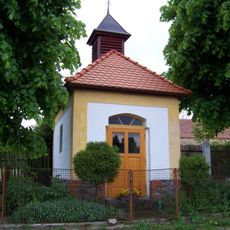
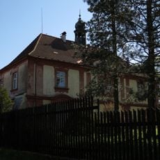
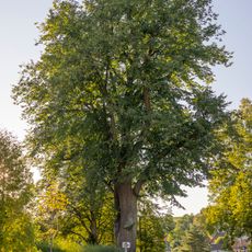
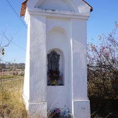
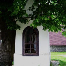
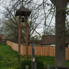
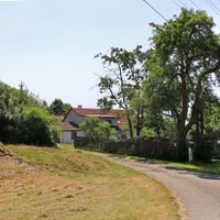
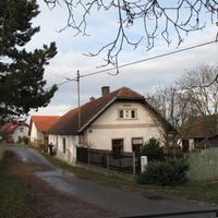
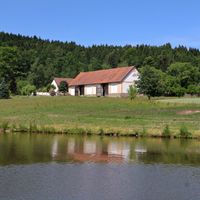
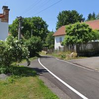
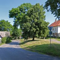
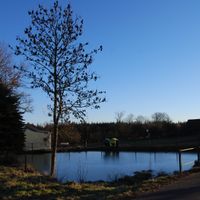
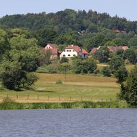
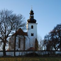
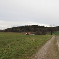
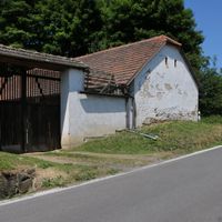
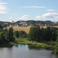
Borotín, commune tchèque
Emplacement : Tábor District
Emplacement : správní obvod obce s rozšířenou působností Tábor
Altitude : 520 m
Partage une frontière avec : Radkov, Sedlec-Prčice, Sudoměřice u Tábora, Jistebnice, Chotoviny, Mezno, Střezimíř
E-mail : obec.borotin@tiscali.cz
Site web : http://borotin.cz
Coordonnées GPS : 49.50510,14.61300
Dernière mise à jour : 4 mars 2025 à 22:16
Starý Zámek
1.3 km
Church of the Nativity of the Virgin Mary
2.7 km
Tvrz Vrchotice
5.8 km
Dvůr Starý zámek
1.4 km
Church of the Ascension of Christ
84 m
Suchdolský rybník
2 km
Jewish cemetery in Prudice
4.3 km
Chapel of Saint John of Nepomuk (Červený Újezd)
5.6 km
Church of Saint Matthew
5.7 km
Socha svatého Jana Nepomuckého v Borotíně
70 m
Penitence cross 0422
2.2 km
Socha svatého Jana Nepomuckého
5.6 km
Church of Saint Gall in Střezimíř
2.9 km
Usedlost čp. 12
3.7 km
Zámek Milhostice
4.9 km
Vila čp. 32
5.9 km
Chapel of Saint Adalbert
2.9 km
Usedlost čp. 1
4.8 km
Zámek Kamenná Lhota
1.8 km
Chapel of Saint John of Nepomuk
2.5 km
Boží muka - kamenný sloupek
3.3 km
Roubená stodola se špýcharem u čp. 7
2.8 km
Výklenková kaplička
3.2 km
Střezimíř Castle
3 km
Lípa ve Střezimíři
3 km
Výklenková kaplička
745 m
Kaplička u hřbitova
6 km
Zvonička v Prudicích
4.8 kmAvis
Vous avez visité ce lieu ? Touchez les étoiles pour le noter et partager votre expérience ou vos photos avec la communauté ! Essayez maintenant ! Vous pouvez annuler à tout moment.
Trouvez des trésors cachés à chaque coin de rue !
Des petits cafés pittoresques aux points de vue planqués, fuyez la foule et dénichez les lieux qui vous ressemblent vraiment. Notre app vous facilite la vie : recherche vocale, filtres malins, itinéraires optimisés et bons plans partagés par des voyageurs du monde entier. Téléchargez vite pour vivre l'aventure en version mobile !
Une approche inédite de la découverte touristique❞
— Le Figaro
Tous les lieux qui valent la peine d'être explorés❞
— France Info
Une excursion sur mesure en quelques clics❞
— 20 Minutes