
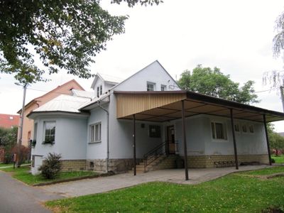
Kateřinice, commune tchèque
Emplacement : Nový Jičín District
Emplacement : správní obvod obce s rozšířenou působností Kopřivnice
Altitude : 260 m
Partage une frontière avec : Hukvaldy, Trnávka, Příbor, Fryčovice, Skotnice
E-mail : obec@katerinice.cz
Site web : http://katerinice.cz
Coordonnées GPS : 49.66918,18.18821
Dernière mise à jour : 13 mars 2025 à 02:50
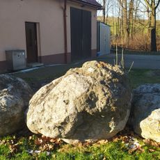
Rychaltické balvany
3.5 km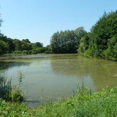
Rybníky v Trnávce
1.6 km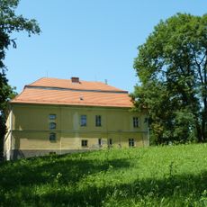
Zámek Trnávka
1.7 km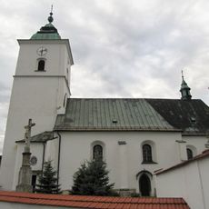
Church of the Assumption of the Virgin Mary
3 km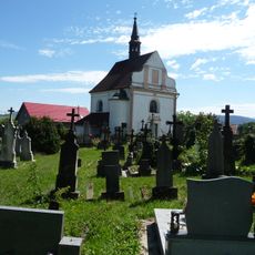
Church of St Francis Seraph
4.2 km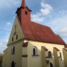
Church of Holy Cross, Příbor
4.4 km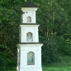
Boží muka
3.9 km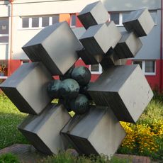
Sculpture in front of the elementary school
4.3 km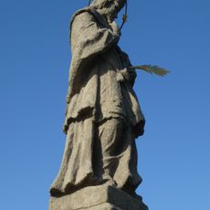
Statue of John of Nepomuk
4.1 km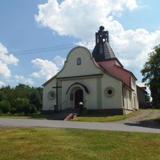
Chapel of the Assumption
3.7 km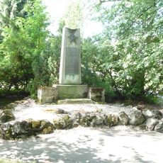
World War II Memorial, Příbor, Nábřeží Rudoarmějců
4.3 km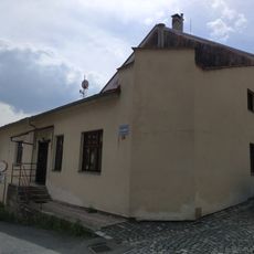
Karla Hynka Máchy 36
4.4 km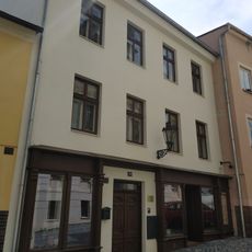
Místecká 38
4.5 km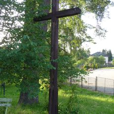
Wooden wayside cross
4 km
Granary
4.2 km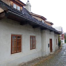
Úzká 317
4.4 km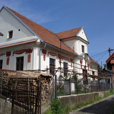
Dům Pod Františkem
4.2 km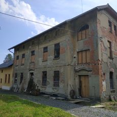
Ostravská 80
4.3 km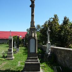
Cemetery cross in the Old Příbor Cemetery
4.2 km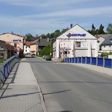
Klokočov bridge
4.2 km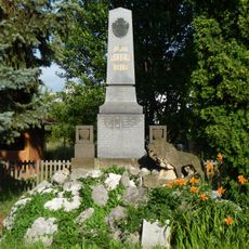
Memorial on 9. května street
4 km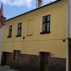
Místecká 37
4.5 km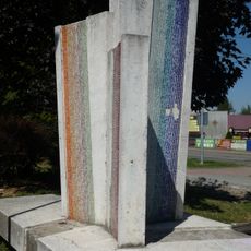
Sculpture in Příbor, Místecká
4.1 km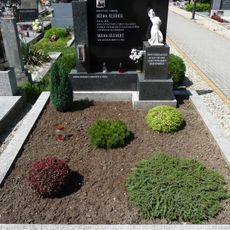
Memorial of Oldřich Helma
4.3 km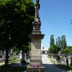
Cemetery cross in the New Příbor Cemetery
4.2 km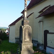
Wayside cross near Church of Holy Cross
4.4 km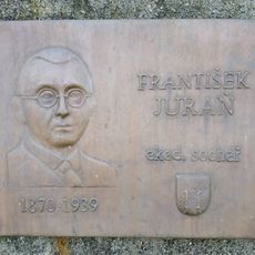
Plaque František Juraň
4.2 km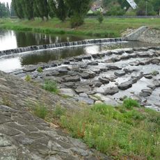
Mocek weir on Lubina
4.4 kmVous avez visité ce lieu ? Touchez les étoiles pour le noter et partager votre expérience ou vos photos avec la communauté ! Essayez maintenant ! Vous pouvez annuler à tout moment.
Trouvez des trésors cachés à chaque coin de rue !
Des petits cafés pittoresques aux points de vue planqués, fuyez la foule et dénichez les lieux qui vous ressemblent vraiment. Notre app vous facilite la vie : recherche vocale, filtres malins, itinéraires optimisés et bons plans partagés par des voyageurs du monde entier. Téléchargez vite pour vivre l'aventure en version mobile !

Une approche inédite de la découverte touristique❞
— Le Figaro
Tous les lieux qui valent la peine d'être explorés❞
— France Info
Une excursion sur mesure en quelques clics❞
— 20 Minutes