
Podolí, village in Uherské Hradiště District of Zlín region
Emplacement : Uherské Hradiště District
Emplacement : správní obvod obce s rozšířenou působností Uherské Hradiště
Altitude : 199 m
Partage une frontière avec : Popovice, Veletiny, Vlčnov, Uherské Hradiště, Hluk
E-mail : info@obecpodoli.cz
Site web : http://obecpodoli.cz
Coordonnées GPS : 49.04081,17.52946
Dernière mise à jour : 10 mars 2025 à 21:40


Veletiny-Stará Hora
3.1 km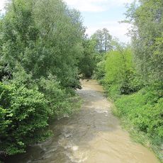
Olšava
1 km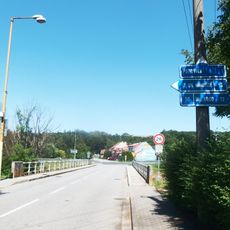
Most silnice III/05016 přes Olšavu v Podolí
390 m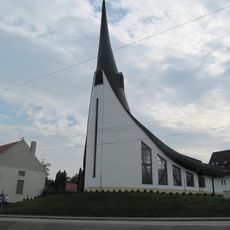
Chapel of Holy Spirit
452 m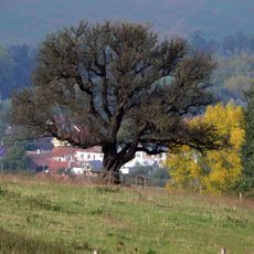
Hrušeň obecná
2.2 km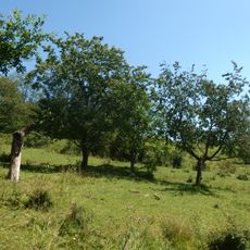
Stráně u Popovic
824 m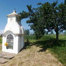
Výklenková kaplička - poklona
1.4 km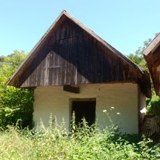
Vinná búda
3 km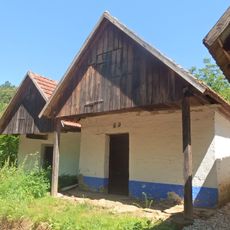
Vinná búda
3 km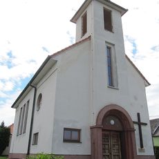
Church of Saint Agnes of Bohemia
2 km
Vinná búda
3.2 km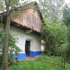
Vinná búda
3.3 km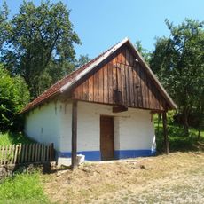
Vinná búda
3.5 km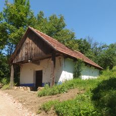
Vinná búda
3.3 km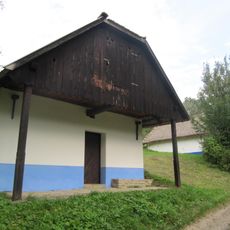
Vinná búda
3.3 km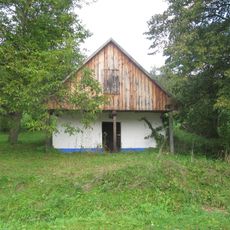
Vinná búda
3 km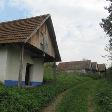
Vinná búda
3 km
Vinná búda - lisovna
3.3 km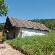
Vinná búda
3 km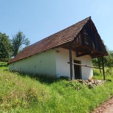
Vinná búda
3.1 km
Vinohradnická búda
3.3 km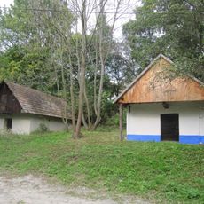
Vinná búda - lisovna
3.3 km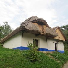
Vinná búda
3.4 km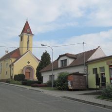
Church of the Virgin Mary of the Rosary
1.3 km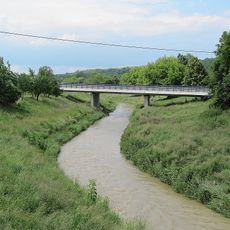
Western bridge of road I/50 over the Olšava in Veletiny
2.5 km
Vinná búda
3.4 km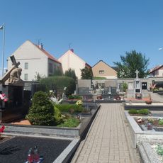
Cemetery in Popovice
1.2 km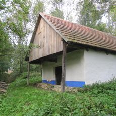
Vinná búda - lisovna
3.2 kmVous avez visité ce lieu ? Touchez les étoiles pour le noter et partager votre expérience ou vos photos avec la communauté ! Essayez maintenant ! Vous pouvez annuler à tout moment.
Trouvez des trésors cachés à chaque coin de rue !
Des petits cafés pittoresques aux points de vue planqués, fuyez la foule et dénichez les lieux qui vous ressemblent vraiment. Notre app vous facilite la vie : recherche vocale, filtres malins, itinéraires optimisés et bons plans partagés par des voyageurs du monde entier. Téléchargez vite pour vivre l'aventure en version mobile !

Une approche inédite de la découverte touristique❞
— Le Figaro
Tous les lieux qui valent la peine d'être explorés❞
— France Info
Une excursion sur mesure en quelques clics❞
— 20 Minutes