
Velký Týnec, commune tchèque
Emplacement : Olomouc District
Emplacement : administrative district of Czech municipality with expanded powers Olomouc
Altitude : 244 m
Partage une frontière avec : Kožušany-Tážaly, Olomouc, Velká Bystřice, Svésedlice, Krčmaň, Tršice, Suchonice, Čelechovice, Grygov
E-mail : velkytynec@velkytynec.cz
Site web : http://velkytynec.cz
Coordonnées GPS : 49.55198,17.33759
Dernière mise à jour : 17 avril 2025 à 01:02

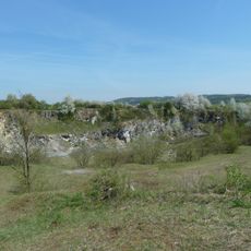
U Strejčkova lomu
3.3 km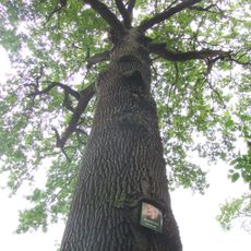
Dub Král
4.2 km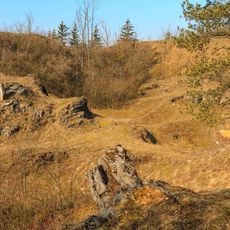
Cigánské zmoly
2.8 km
Church of Saint Urban
3.9 km
Zámek Velký Týnec
429 m
U Bílých hlin
3 km
Kaple svatého Jana Nepomuckého
2.5 km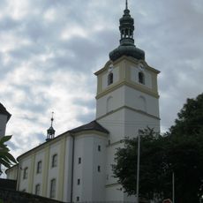
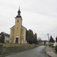
Church of the Assumption of the Virgin Mary
386 m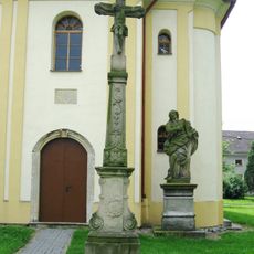
Sochy svatého Matouše, svaté Barbory a krucifix
1.7 km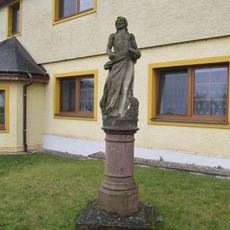
Socha svatého Jana Křtitele
3.8 km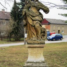
Sochy sv. Václava a sv. Kateřiny
2.5 km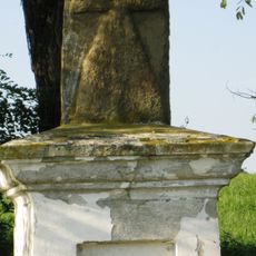
Smírčí kříž
3.6 km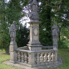
Sousoší Panny Marie
439 m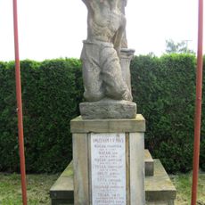
Pomník umučeným roku 1945
3.3 km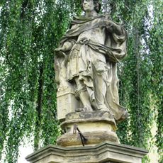
Socha svatého Floriána
34 m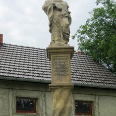
Sloup se sochou Panny Marie
119 m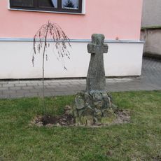
Smírčí kříž
3.8 km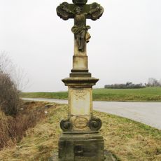
Krucifix
2.4 km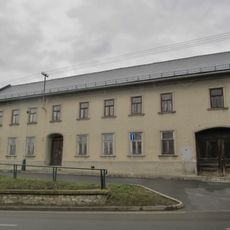
Venkovská usedlost
72 m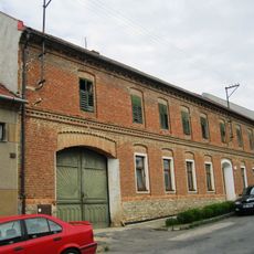
Venkovská usedlost
125 m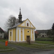
Chapel of Saint Praxedes
3.9 km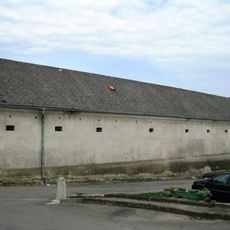
Venkovská usedlost čp. 1
157 m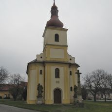
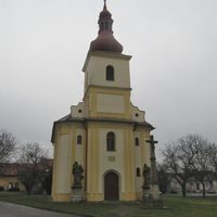
Church of Saint Matthew
1.7 km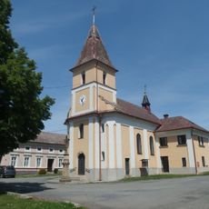
Church of Saint Florian
3.5 km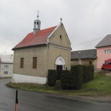
Chapel of Virgin Mary
2.6 km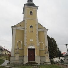
Chapel of the Nativity of the Virgin Mary
1.7 km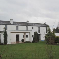
Nový český dům Tomáše Hořínka
315 m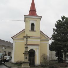
Chapel of Saint Francis of Assisi
3.9 kmVous avez visité ce lieu ? Touchez les étoiles pour le noter et partager votre expérience ou vos photos avec la communauté ! Essayez maintenant ! Vous pouvez annuler à tout moment.

Trouvez des trésors cachés à chaque coin de rue !
Des petits cafés pittoresques aux points de vue planqués, fuyez la foule et dénichez les lieux qui vous ressemblent vraiment. Notre app vous facilite la vie : recherche vocale, filtres malins, itinéraires optimisés et bons plans partagés par des voyageurs du monde entier. Téléchargez vite pour vivre l'aventure en version mobile !

Une approche inédite de la découverte touristique❞
— Le Figaro
Tous les lieux qui valent la peine d'être explorés❞
— France Info
Une excursion sur mesure en quelques clics❞
— 20 Minutes