
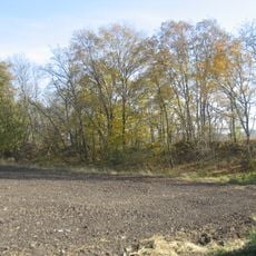
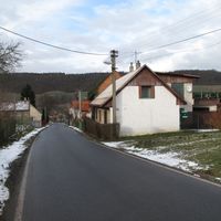
Přerubenice, commune tchèque
Emplacement : Rakovník District
Altitude : 369 m
Partage une frontière avec : Milý, Kalivody, Bdín
E-mail : prerubenice@prerubenice.cz
Site web : http://prerubenice.cz
Coordonnées GPS : 50.21726,13.84110
Dernière mise à jour : 2 mars 2025 à 22:41

Dřevíč Hill Fort
3.5 km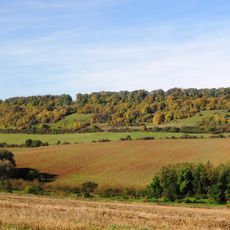
Milská stráň
3.1 km
Kalivody
1.2 km
Beech in Budlín
3.3 km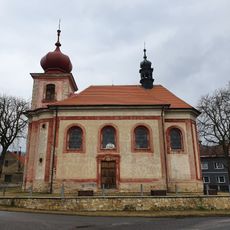
Church of Saint Nicolaus
3.9 km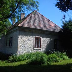
Homestead in Dřevíč
3.6 km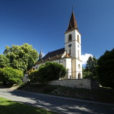
Church of Saint Margaret in Kroučová
4.4 km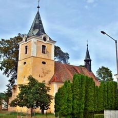
Church of Saints Peter and Paul
4.2 km
Naučná stezka Uhelná stezka Kroučová
4.4 km
Chapel of Saint Anne
4.1 km
Church of Holy Trinity (Srbeč)
2.7 km
Socha svaté Markéty
4.7 km
Church of Saint James the Greater
3.2 km
Chapel of Saint Wenceslaus
3.6 km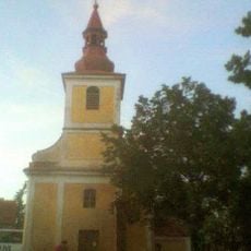
Chapels of Saint Procopius
3.5 km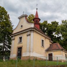
Chapel of Saint Michael in Milý
2.5 km
Usedlost čp. 51
4.3 km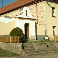
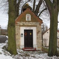
Kaplička
4.1 km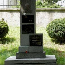
Památník T.G.Masaryka v Kroučové
4.3 km
Kaplička na návsi v Kozojedech
4.6 km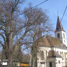
Lípa malolistá
4.4 km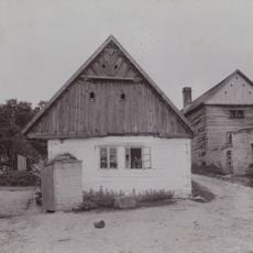
Roubený dům u usedlosti čp. 6
1 km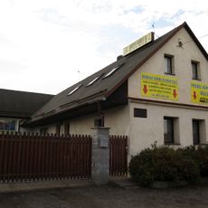
Dům čp. 101
4.2 km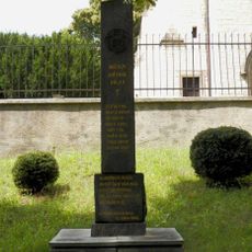
Pomník padlým v Kroučové
4.4 km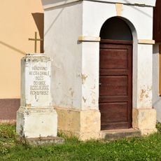
Kříž u kaple v Kozojedech
4.6 km
Kalivody
1.2 km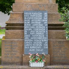
Pomník obětem za svobodu v Řevničově
4.5 km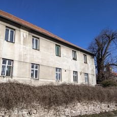
Lípa velkolistá
4.4 kmAvis
Vous avez visité ce lieu ? Touchez les étoiles pour le noter et partager votre expérience ou vos photos avec la communauté ! Essayez maintenant ! Vous pouvez annuler à tout moment.
Trouvez des trésors cachés à chaque coin de rue !
Des petits cafés pittoresques aux points de vue planqués, fuyez la foule et dénichez les lieux qui vous ressemblent vraiment. Notre app vous facilite la vie : recherche vocale, filtres malins, itinéraires optimisés et bons plans partagés par des voyageurs du monde entier. Téléchargez vite pour vivre l'aventure en version mobile !

Une approche inédite de la découverte touristique❞
— Le Figaro
Tous les lieux qui valent la peine d'être explorés❞
— France Info
Une excursion sur mesure en quelques clics❞
— 20 Minutes