
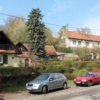
Křetín, commune tchèque
Emplacement : obvod obce s rozšířenou působností Boskovice
Emplacement : Blansko District
Altitude : 393 m
Partage une frontière avec : Sulíkov, Rozsíčka, Stvolová, Vranová, Ústup, Lazinov, Prostřední Poříčí, Kněževes
E-mail : obec.kretin@iol.cz
Site web : http://kretin.eu
Coordonnées GPS : 49.56313,16.50444
Dernière mise à jour : 21 mars 2025 à 05:58
Church of Saint Giles
5 km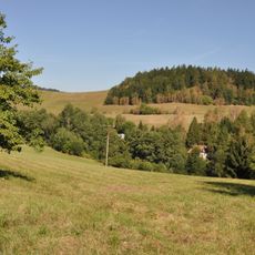
Prírodný park Halasovo Kunštátsko
4.5 km
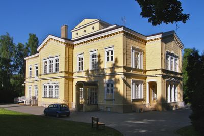
Zámek Křetín
234 m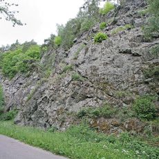
Bohuňovské skály
5.2 km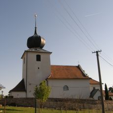
Church of Saint Mary Magdalene
2.3 km
Zelenkův kopec
3.6 km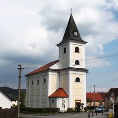
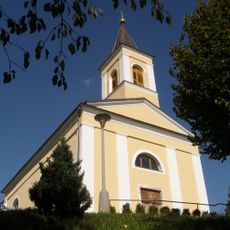
Church of Saint Jerome
260 m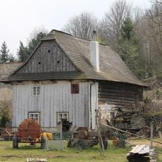
Watermill in Crhov
5.7 km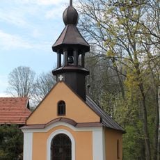
Chapel of the Holy Name of Mary (Prostřední Poříčí)
1.9 km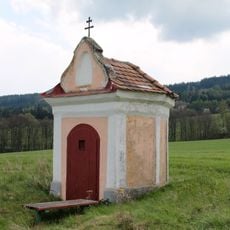
Chapel of Holy Trinity (Horní Poříčí)
2.7 km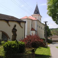
Socha svatého Jana Nepomuckého
202 m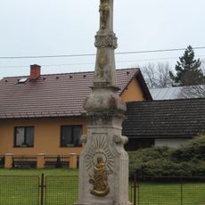
Wayside cross in Crhov
5.5 km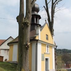
Chapel of the Assumption
3.3 km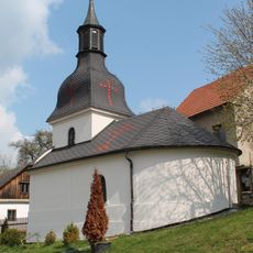
Chapel of Holy Trinity
5.1 km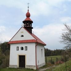
Chapel of the Assumption
5.5 km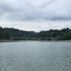
Vn Letovice, most
2.8 km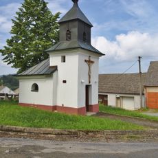
Chapel of Saint Florian
4.6 km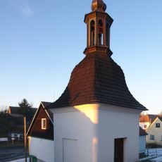
Bell tower in Rozsíčka
2.9 km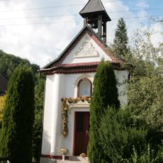
Chapel of Saint Cyril and Methodius
3 km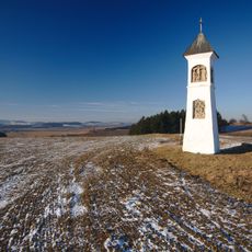
Column shrine in Ústup
4.1 km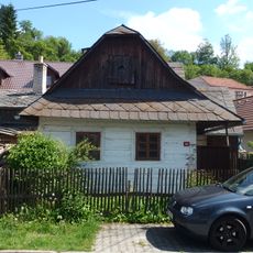
Dům čp. 49
5.8 km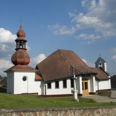
Zvonice
5.2 km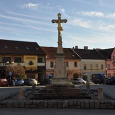
Krucifix z roku 1831
6 km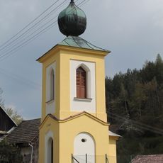
Chapel of Saints Peter and Paul
3.4 km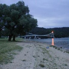
Vn Letovice, Vranova
2.5 km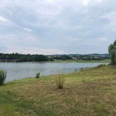
Vn Letovice, Svitavice
2.8 km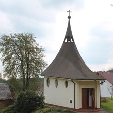
Chapel of Saints Monica and Augustine
1.8 km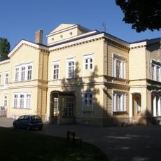
Křetín - zámek
236 mAvis
Vous avez visité ce lieu ? Touchez les étoiles pour le noter et partager votre expérience ou vos photos avec la communauté ! Essayez maintenant ! Vous pouvez annuler à tout moment.

Trouvez des trésors cachés à chaque coin de rue !
Des petits cafés pittoresques aux points de vue planqués, fuyez la foule et dénichez les lieux qui vous ressemblent vraiment. Notre app vous facilite la vie : recherche vocale, filtres malins, itinéraires optimisés et bons plans partagés par des voyageurs du monde entier. Téléchargez vite pour vivre l'aventure en version mobile !

Une approche inédite de la découverte touristique❞
— Le Figaro
Tous les lieux qui valent la peine d'être explorés❞
— France Info
Une excursion sur mesure en quelques clics❞
— 20 Minutes