
Řisuty, commune tchèque
Emplacement : Kladno District
Emplacement : správní obvod obce s rozšířenou působností Slaný
Altitude : 310 m
Partage une frontière avec : Jedomělice, Tuřany, Malíkovice, Přelíc, Libovice, Studeněves, Ledce
E-mail : info@risuty.cz
Site web : http://risuty.cz
Coordonnées GPS : 50.21657,14.00506
Dernière mise à jour : 26 mars 2025 à 00:27

Church of Saints Peter and Paul
2.8 km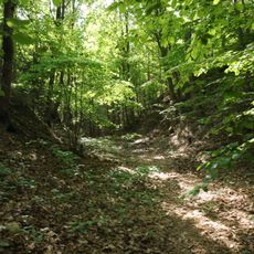
Starý zámek
3.4 km
Smečno
3.3 km
Chapel of St John the Baptist
2.3 km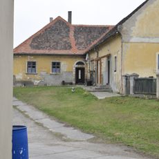
Malíkovice Fortress
1.7 km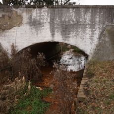
Most silnice III/23638 přes Byseňský potok v Byseni
3.2 km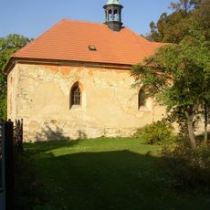
All Saints church
1.8 km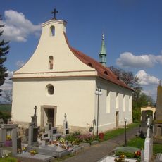
Church of the Assumption of the Virgin Mary
2.4 km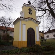
Chapel
2.2 km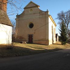
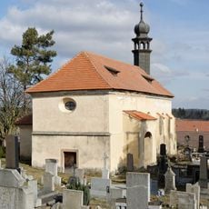
Church of Saint James the Greater
172 m
Chapel in Jedomělice
2.9 km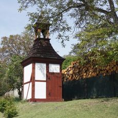
Zvonice
3.3 km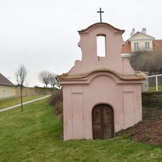
Chapel
2.8 km
A-3/41/B2-80 Z light pillbox
3.7 km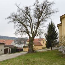
Tilia Cordata in Řisuty
152 m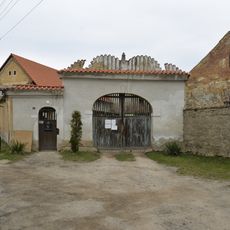
Homestead No. 14 in Řisuty
197 m
Zvonice v Tuřanech
2.3 km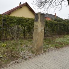
Milestone in Tuřany
2.6 km
Areál lázní
2.4 km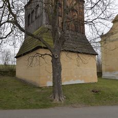
Zvonice v Řisutech
172 m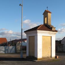
Kaple v Bysni
3.3 km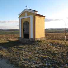
Kaplička u polní cesty poblíž věžového vodojemu Tuřany
2.5 km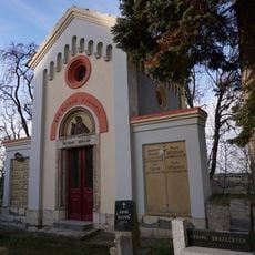
Hřbitov Tuřany
2.3 km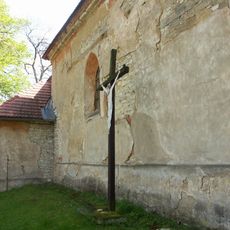
Kříž u kostela Všech svatých v Malíkovicích
1.8 km
Smečno
3.3 km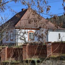
Fara
1.8 km
Most bývalé úzkorozchodné dráhy přes Muclavský potok
3.1 km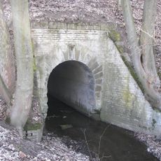
Most úzkokolejné dráhy přes Šternberský potok
2.6 kmVous avez visité ce lieu ? Touchez les étoiles pour le noter et partager votre expérience ou vos photos avec la communauté ! Essayez maintenant ! Vous pouvez annuler à tout moment.
Trouvez des trésors cachés à chaque coin de rue !
Des petits cafés pittoresques aux points de vue planqués, fuyez la foule et dénichez les lieux qui vous ressemblent vraiment. Notre app vous facilite la vie : recherche vocale, filtres malins, itinéraires optimisés et bons plans partagés par des voyageurs du monde entier. Téléchargez vite pour vivre l'aventure en version mobile !

Une approche inédite de la découverte touristique❞
— Le Figaro
Tous les lieux qui valent la peine d'être explorés❞
— France Info
Une excursion sur mesure en quelques clics❞
— 20 Minutes