
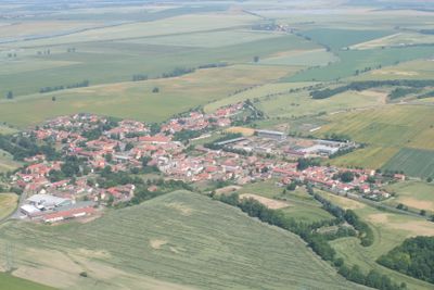
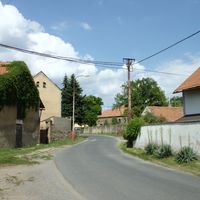
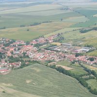
Černuc, commune tchèque
Emplacement : Kladno District
Emplacement : správní obvod obce s rozšířenou působností Slaný
Altitude : 192 m
Partage une frontière avec : Bříza, Chržín, Hospozín, Hobšovice, Velvary, Loucká
E-mail : ou.cernuc@tiscali.cz
Site web : http://cernuc.cz
Coordonnées GPS : 50.30122,14.20258
Dernière mise à jour : 8 mars 2025 à 18:11
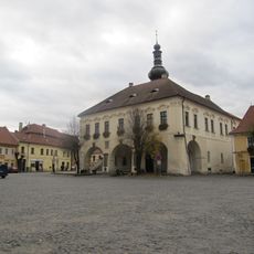
Town hall in Velvary
3.2 km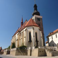
Saint Catherine of Alexandria Church (Velvary)
3.2 km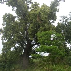
Lípa u Horova mlýna
3.4 km
Former synagogue in Velvary
3.6 km
Pod Šibenicí
2.1 km
Malovarský topol
2.9 km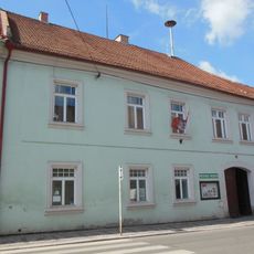
City museum in Velvary
3.3 km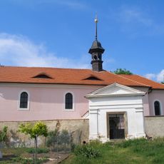
Church of Saint Barbara (Nabdín)
2.2 km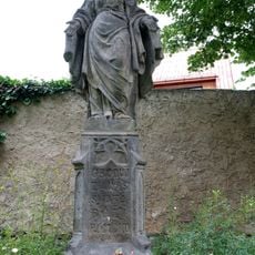
Socha Panny Marie Bolestné
3.3 km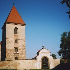
Church of the Beheading of Saint John the Baptist
2.1 km
Church of Saint George
3.6 km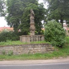
Statue of John of Nepomuk in Velvary
3.6 km
Pražská brána
3.4 km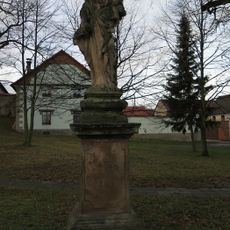
Socha Panny Marie
215 m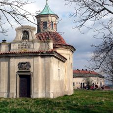
Chapel of Saint John of Nepomuk
3.5 km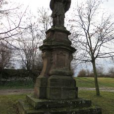
Statue of John of Nepomuk in Černuc
342 m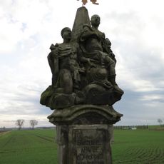
Sousoší svatého Jana a svatého Pavla
2.8 km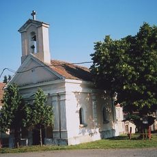
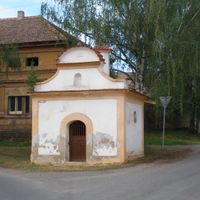
Chapel of Saint Leonard
35 m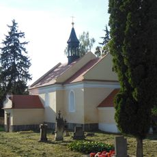
All Saints Church
3 km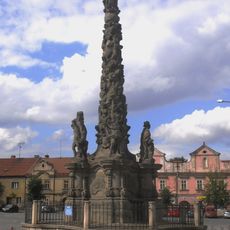
Maria column in Velvary
3.2 km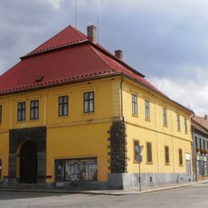
Městský dům Reduta
3.3 km
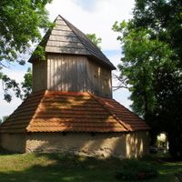
Chapel of Virgin Mary
2.1 km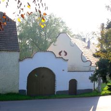
Usedlost čp. 12
2.3 km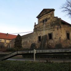
Zemědělský dvůr čp. 1
77 m
Měšťanský dům
3.3 km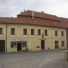
Měšťanský dům
3.2 km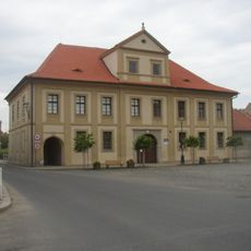
Hospoda Panská
3.1 km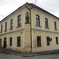
Deanery in Velvary
3.2 kmVous avez visité ce lieu ? Touchez les étoiles pour le noter et partager votre expérience ou vos photos avec la communauté ! Essayez maintenant ! Vous pouvez annuler à tout moment.
Trouvez des trésors cachés à chaque coin de rue !
Des petits cafés pittoresques aux points de vue planqués, fuyez la foule et dénichez les lieux qui vous ressemblent vraiment. Notre app vous facilite la vie : recherche vocale, filtres malins, itinéraires optimisés et bons plans partagés par des voyageurs du monde entier. Téléchargez vite pour vivre l'aventure en version mobile !

Une approche inédite de la découverte touristique❞
— Le Figaro
Tous les lieux qui valent la peine d'être explorés❞
— France Info
Une excursion sur mesure en quelques clics❞
— 20 Minutes