
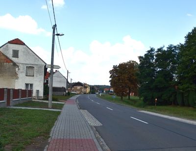
Býškovice, commune tchèque
Emplacement : Přerov District
Emplacement : Hranice (klein district)
Altitude : 278 m
Partage une frontière avec : Rakov, Vítonice, Horní Nětčice, Horní Újezd, Všechovice, Malhotice, Opatovice
E-mail : obec@byskovice.cz
Site web : http://byskovice.cz
Coordonnées GPS : 49.46747,17.71408
Dernière mise à jour : 28 mars 2025 à 09:19
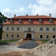
Všechovice Castle
3.3 km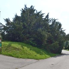
Všechovický tis
3.4 km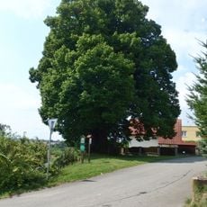
Lípa Jana Jiskry z Brandýsa
4.6 km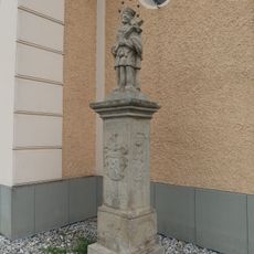
Socha svatého Jana Nepomuckého
4.3 km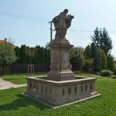
Socha svatého Jana Nepomuckého
4.9 km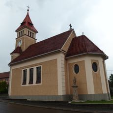
Church of the Immaculate Conception
4.3 km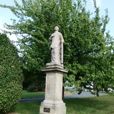
Socha svatého Vavřince
5.1 km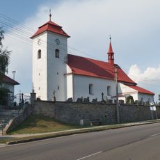
Church of Saint Wenceslaus
4.9 km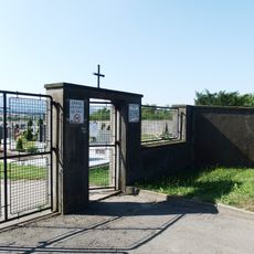
Cemetery in Všechovice
3.7 km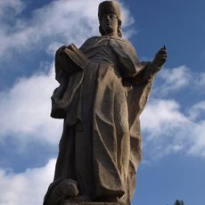
Socha svatého Vendelína
4.7 km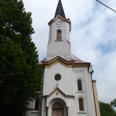
Church of Saints Cyril and Methodius
2.7 km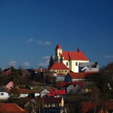
Church of the Assumption
4.6 km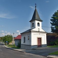
Chapel of Saint Anne
4.1 km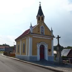
Chapel of Saint Anthony of Padua
2.3 km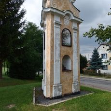
Boží muka
3 km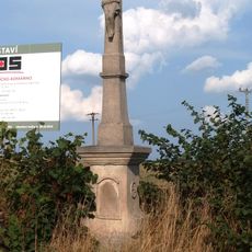
Kříž
5.1 km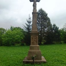
Zelený kříž
2.6 km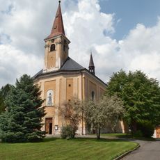
Church of Holy Trinity
3.2 km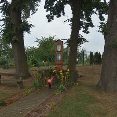
Boží muka
4.3 km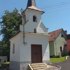
Chapel of Saint Mary
5.1 km
Krucifix
3.2 km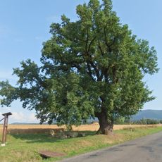
Dub Na Záhonkách
4.4 km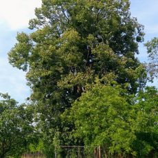
Lípa ve Vítonicích
2.8 km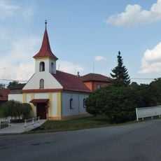
Chapel of Saint Anne
186 m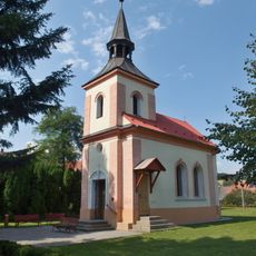
Chapel of the Visitation
3 km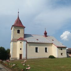
Church of the Nativity of the Virgin Mary
2.6 km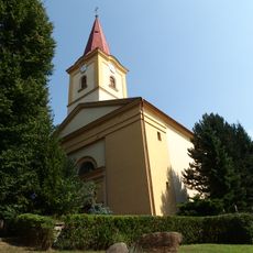
Church of Saint Margaret
3.6 km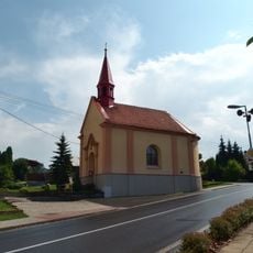
Chapel of Saint Maurice
4 kmAvis
Vous avez visité ce lieu ? Touchez les étoiles pour le noter et partager votre expérience ou vos photos avec la communauté ! Essayez maintenant ! Vous pouvez annuler à tout moment.
Trouvez des trésors cachés à chaque coin de rue !
Des petits cafés pittoresques aux points de vue planqués, fuyez la foule et dénichez les lieux qui vous ressemblent vraiment. Notre app vous facilite la vie : recherche vocale, filtres malins, itinéraires optimisés et bons plans partagés par des voyageurs du monde entier. Téléchargez vite pour vivre l'aventure en version mobile !

Une approche inédite de la découverte touristique❞
— Le Figaro
Tous les lieux qui valent la peine d'être explorés❞
— France Info
Une excursion sur mesure en quelques clics❞
— 20 Minutes