
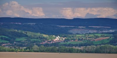
Jabloňany, commune tchèque
Emplacement : obvod obce s rozšířenou působností Boskovice
Emplacement : Blansko District
Altitude : 337 m
Partage une frontière avec : Sebranice, Voděrady, Obora, Skalice nad Svitavou, Lhota Rapotina
E-mail : ou.jablonany@cbox.cz
Site web : http://jablonany.cz
Coordonnées GPS : 49.46538,16.60716
Dernière mise à jour : 11 mars 2025 à 11:11
Malý Chlum
2.2 km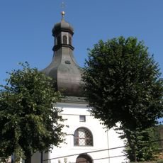
Church of Saint Lawrence in Lhota Rapotina
1.4 km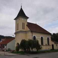
Church of the Visitation of Our Lady
1.7 km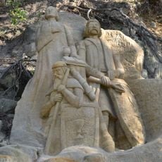
Skalní reliefy mistra Jana Husa, Jana Žižky a Prokopa Holého
2.9 km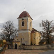
Church of Saint John the Baptist
4.2 km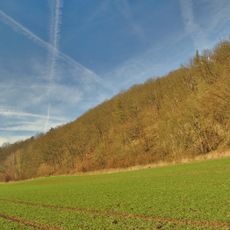
Lebeďák
2.1 km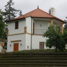
Zámek Lhota Rapotina
2.4 km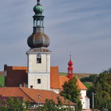
Church of the Assumption of the Virgin Mary
4.3 km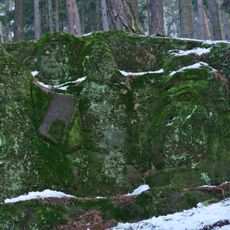
Hlavy bojovníků
2.8 km
Malá Löw-Beerova vila
4.4 km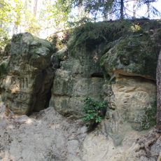
Hlava lva
2.6 km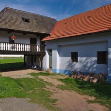
House No. 36
4.4 km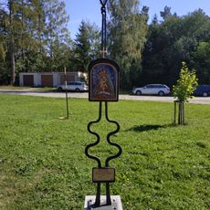
Statue in Huť Sv. Antonie
2 km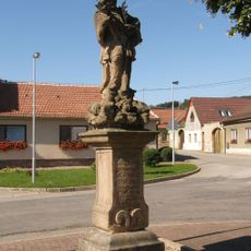
Socha svatého Jana Nepomuckého
1.3 km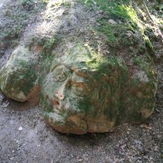
Hlava vojáka
2.8 km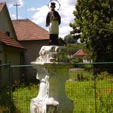
Socha svatého Jana Nepomuckého
4.2 km
Velká Löw-Beerova vila
4.4 km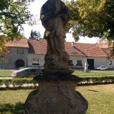
Socha svatého Jana Nepomuckého ve Svitávce
4.3 km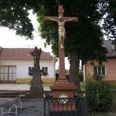
Socha svatého Jana Nepomuckého
39 m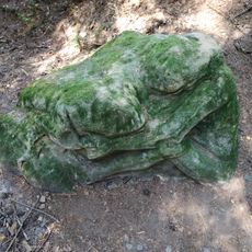
Spící dívka
2.8 km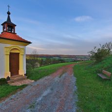
Chapel of the Nativity of the Virgin Mary
1.6 km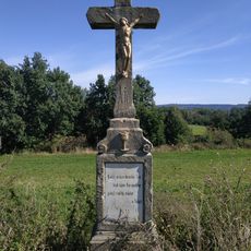
Wayside cross between Bořitov and Huť Sv. Antonie
2.7 km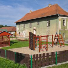
Rectory
4.3 km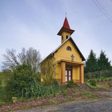
Chapel of the Sacred Heart
1.8 km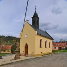
Chapel of Saints Cyril and Methodius
38 m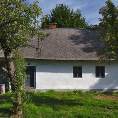
Dům čp. 34
4.4 km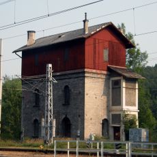
Nádražní vodárna
1.5 km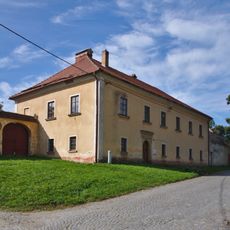
Fara
4.2 kmVous avez visité ce lieu ? Touchez les étoiles pour le noter et partager votre expérience ou vos photos avec la communauté ! Essayez maintenant ! Vous pouvez annuler à tout moment.
Trouvez des trésors cachés à chaque coin de rue !
Des petits cafés pittoresques aux points de vue planqués, fuyez la foule et dénichez les lieux qui vous ressemblent vraiment. Notre app vous facilite la vie : recherche vocale, filtres malins, itinéraires optimisés et bons plans partagés par des voyageurs du monde entier. Téléchargez vite pour vivre l'aventure en version mobile !

Une approche inédite de la découverte touristique❞
— Le Figaro
Tous les lieux qui valent la peine d'être explorés❞
— France Info
Une excursion sur mesure en quelques clics❞
— 20 Minutes