
Racková, commune tchèque
Emplacement : Zlín District
Emplacement : správní obvod obce s rozšířenou působností Zlín
Altitude : 238 m
Partage une frontière avec : Lechotice, Žeranovice, Hostišová, Fryšták, Mysločovice, Zlín
E-mail : ou@rackova.cz
Site web : http://rackova.cz
Coordonnées GPS : 49.27707,17.62490
Dernière mise à jour : 15 avril 2025 à 07:42

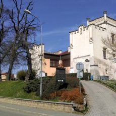
Zámek Žeranovice
2.3 km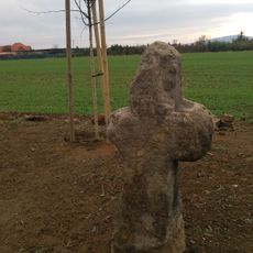
Smírčí kříž
3.6 km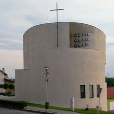
Church of Saint Wenceslaus
5.8 km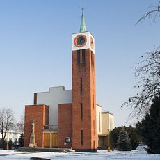
Church of Saint Anthony of Padua in Míškovice
5.4 km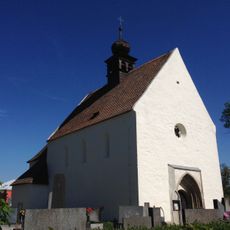
Church of Saint James the Greater
6.7 km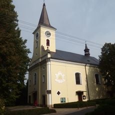
Church of Holy Trinity
4.9 km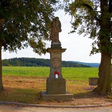
Socha svatého Josefa
1.9 km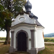
Chapel of Saint John of Nepomuk (Mysločovice)
4.4 km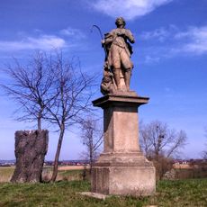
Socha svatého Vendelína
3 km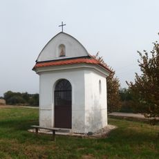
Chapel of Saint Florian
369 m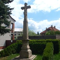
Krucifix
4.1 km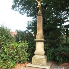
Krucifix
4.9 km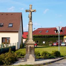
Kříž
2.6 km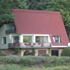
Rodný dům Fr. Bartoše
4.4 km
Lípa u Floriána
3 km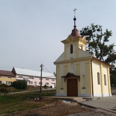
Chapel of Visitation of Holy Virgin Mary
3.6 km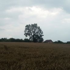
Prajzovská hruška
4.7 km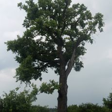
Dub v Hostišové
3.7 km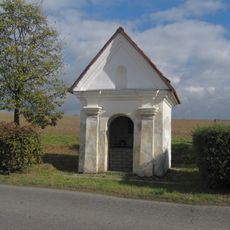
Chapel of Holy Family
6.2 km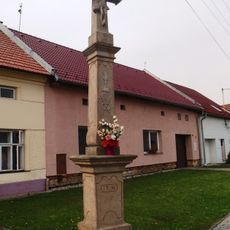
Kříž
6.4 km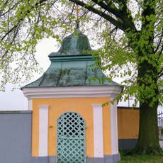
Chapel of Saint Florian
5.5 km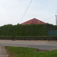
Usedlost čp. 38
4.8 km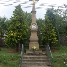
Kříž
3.7 km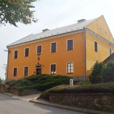
Fara
4.9 km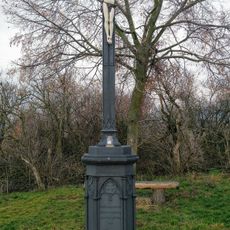
Kříž
3.1 km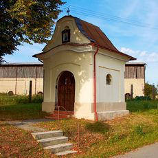
Chapel of Saint John of Nepomuk
2.5 km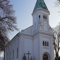
Church of Saint Lawrence
2 km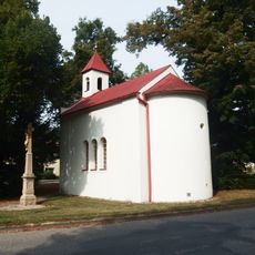
Chapel in Lhotka
5.5 kmVous avez visité ce lieu ? Touchez les étoiles pour le noter et partager votre expérience ou vos photos avec la communauté ! Essayez maintenant ! Vous pouvez annuler à tout moment.
Trouvez des trésors cachés à chaque coin de rue !
Des petits cafés pittoresques aux points de vue planqués, fuyez la foule et dénichez les lieux qui vous ressemblent vraiment. Notre app vous facilite la vie : recherche vocale, filtres malins, itinéraires optimisés et bons plans partagés par des voyageurs du monde entier. Téléchargez vite pour vivre l'aventure en version mobile !

Une approche inédite de la découverte touristique❞
— Le Figaro
Tous les lieux qui valent la peine d'être explorés❞
— France Info
Une excursion sur mesure en quelques clics❞
— 20 Minutes