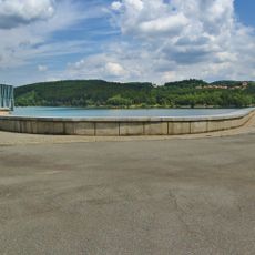
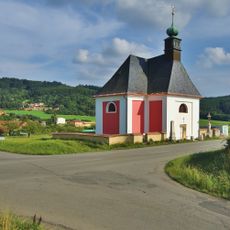
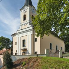
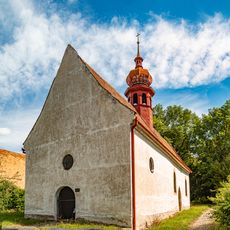
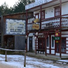
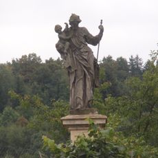
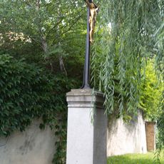
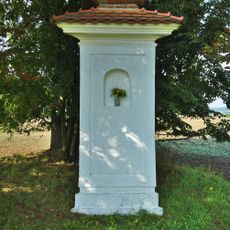
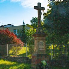
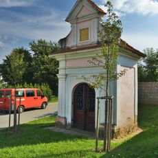
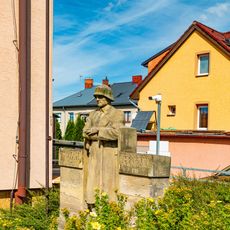
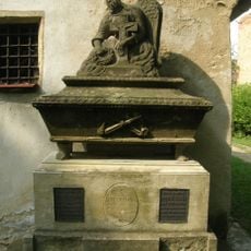
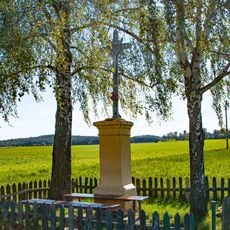
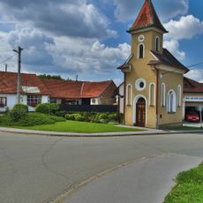
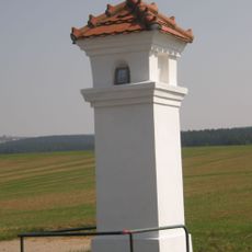
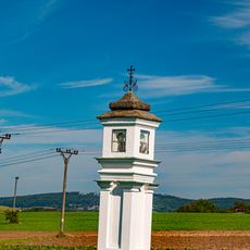
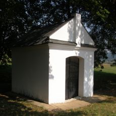
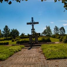
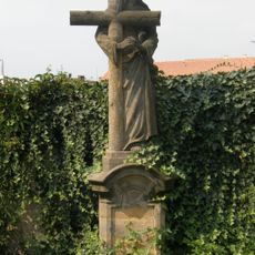
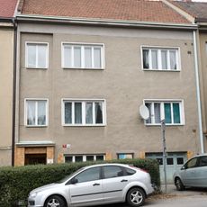
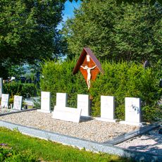
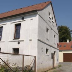
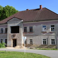
Vážany, commune tchèque
Emplacement : obvod obce s rozšířenou působností Boskovice
Emplacement : Blansko District
Altitude : 368 m
Partage une frontière avec : Okrouhlá, Sudice, Boskovice, Knínice u Boskovic
E-mail : obec.vazany@iol.cz
Site web : http://vazany.cz
Coordonnées GPS : 49.53122,16.68873
Dernière mise à jour : 9 mars 2025 à 12:01
Boskovice Reservoir
4 km
Church of the Annunciation of the Virgin Mary in Vážany
236 m
Saint Mark Church
685 m
All Saints church
4.9 km
Wild West City
4.1 km
Socha svatého Josefa
1.6 km
Kříž
4.8 km
Komín
4.6 km
Smuteční síň
4.3 km
Boží muka
934 m
Kříž
5 km
Chapel of Saint Florian
740 m
Katastrální úřad
4.9 km
Pomník
4.8 km
Náhrobek Leopolda Fischera
4.9 km
Kříž U Lipníků
4.3 km
Chapel of the Assumption
4.1 km
Boží muka
4 km
Boží muka
4.4 km
Chapel of Saint Odile
3.6 km
Památník
4.3 km
Náhrobek se sochou Krista
4.9 km
Evangelická fara v Boskovicích
4.9 km
Hrobka
4.3 km
Granary (Boskovice)
4.6 km
School building in Sudice
1.5 km
Highway bridge of unfinished extraterritorial highway Vienna-Wroclaw
1.9 km
Vratíkovský kras
4.7 kmVous avez visité ce lieu ? Touchez les étoiles pour le noter et partager votre expérience ou vos photos avec la communauté ! Essayez maintenant ! Vous pouvez annuler à tout moment.
Trouvez des trésors cachés à chaque coin de rue !
Des petits cafés pittoresques aux points de vue planqués, fuyez la foule et dénichez les lieux qui vous ressemblent vraiment. Notre app vous facilite la vie : recherche vocale, filtres malins, itinéraires optimisés et bons plans partagés par des voyageurs du monde entier. Téléchargez vite pour vivre l'aventure en version mobile !
Une approche inédite de la découverte touristique❞
— Le Figaro
Tous les lieux qui valent la peine d'être explorés❞
— France Info
Une excursion sur mesure en quelques clics❞
— 20 Minutes