
Unín, commune tchèque
Emplacement : Тишнов
Emplacement : Brno-Country District
Altitude : 461 m
Partage une frontière avec : Rohozec, Hluboké Dvory, Bukovice, Lubě, Tišnov, Všechovice
E-mail : info@unin.cz
Site web : https://unin.cz
Coordonnées GPS : 49.38221,16.49138
Dernière mise à jour : 4 mars 2025 à 17:40
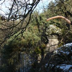
Krkatá bába
2.8 km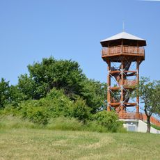
Žernovník
4.4 km
Trmačov
1.7 km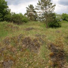
Svídovec
1.7 km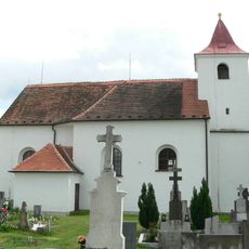
All Saints church
3.8 km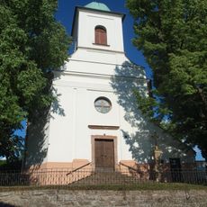
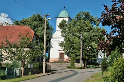
Kostel svatého Petra a Pavla
50 m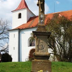
Soubor křížů
3.8 km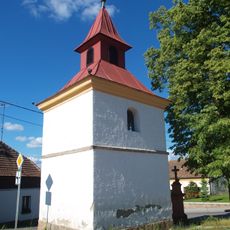
Chapel of the Assumption
1.7 km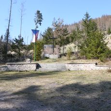
Partisan memorial in Hluboké Dvory
1.4 km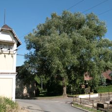
Vrba u Krbu
1.6 km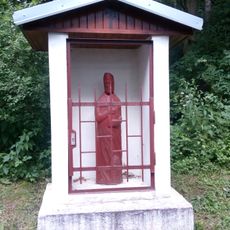
Výklenková kaplička svatého Ambrože
3.6 km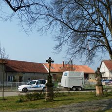
Krucifix a socha svatého Jana Nepomuckého
3.8 km
Chapel of Saint Anne
2.7 km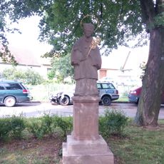
Socha sv. Jana Nepomuckého
3.8 km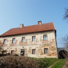
Fara
3.8 km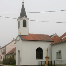
Chapel of the Assumption
4 km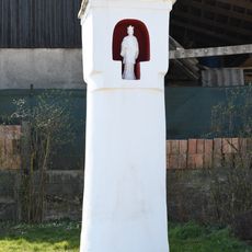
Column shrine in Všechovice
3.2 km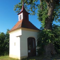
Chapel of Saint Anne
1.5 km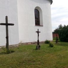
Litinový kříž
3.9 km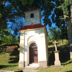
Chapel of the Nativity of the Virgin Mary
2 km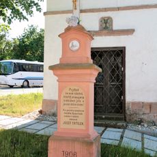
Kříž
1.7 km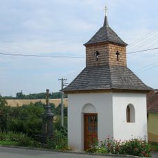
Kříž
2.7 km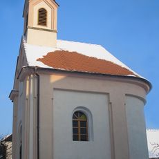
Chapel of Saints Cyril nad Methodius
3.7 km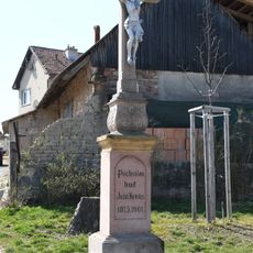
Wayside cross in Všechovice
3.2 km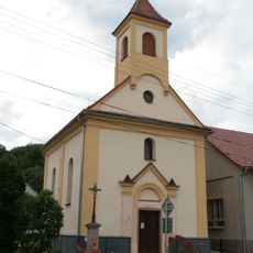
Chapel of Saint Anne
2.8 km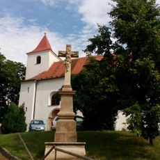
Kamenný kříž
3.9 km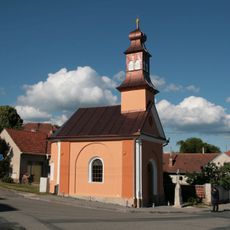
Chapel of Saints Cyril and Methodius in Rohozec
1.1 km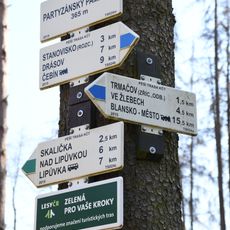
Rozcestník Partyzánský památník
1.4 kmVous avez visité ce lieu ? Touchez les étoiles pour le noter et partager votre expérience ou vos photos avec la communauté ! Essayez maintenant ! Vous pouvez annuler à tout moment.
Trouvez des trésors cachés à chaque coin de rue !
Des petits cafés pittoresques aux points de vue planqués, fuyez la foule et dénichez les lieux qui vous ressemblent vraiment. Notre app vous facilite la vie : recherche vocale, filtres malins, itinéraires optimisés et bons plans partagés par des voyageurs du monde entier. Téléchargez vite pour vivre l'aventure en version mobile !

Une approche inédite de la découverte touristique❞
— Le Figaro
Tous les lieux qui valent la peine d'être explorés❞
— France Info
Une excursion sur mesure en quelques clics❞
— 20 Minutes