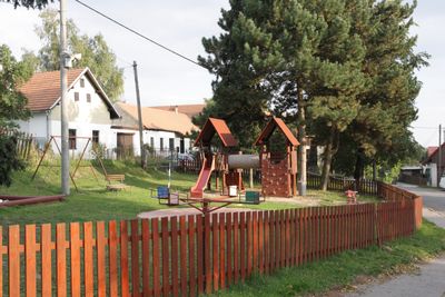
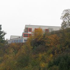
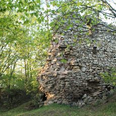
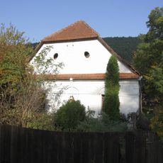
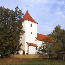
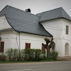
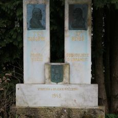
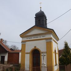
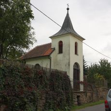
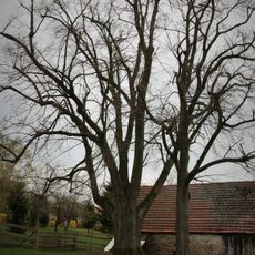
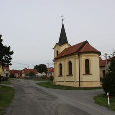
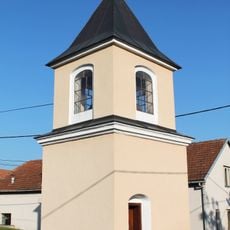
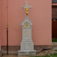
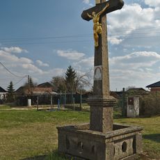
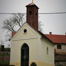
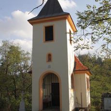
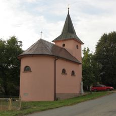
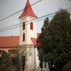
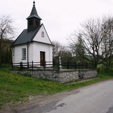
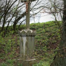
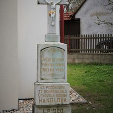
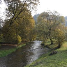
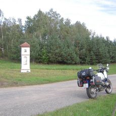
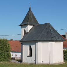
Drahonín, commune tchèque
Emplacement : Тишнов
Emplacement : Brno-Country District
Altitude : 517 m
Partage une frontière avec : Olší, Skryje, Tišnovská Nová Ves, Žďárec, Sejřek, Strážek, Moravecké Pavlovice, Střítež
E-mail : obec@drahonin.cz
Site web : https://drahonin.cz
Coordonnées GPS : 49.41410,16.27693
Dernière mise à jour : 11 mars 2025 à 13:15
Havlov
2.4 km
Trenckova rokle
1.1 km
Košíkov Castle
2 km
Víckov Castle
1.9 km
Buchalův vodní mlýn
3.4 km
Kostel svatého Jiří
1.3 km
Hospoda
2.6 km
Pomník obětem světových válek
2.1 km
Chapel of Virgin Mary
3.9 km
Chapel of the Virgin Mary of the Rosary
3.7 km
Chapel of the Virgin Mary of the Rosary
2 km
Lípa (Litava)
2.5 km
Kaple Nanebevzetí Panny Marie
3.6 km
Chapel of Our Lady of Lourdes
2.3 km
Kříž
45 m
Krucifix
3.4 km
Chapel of Saint Anne
3.3 km
Chapel of Saints Cyril and Methodius
3.3 km
Chapel of Christ the King
50 m
Krucifix
2.7 km
Chapel in Klokočí
2.1 km
Chapel of Saints Cyril and Methodius
4.1 km
Wayside cross in Klokočí
1.9 km
Wayside cross in Klokočí in front of a chapel
2.1 km
Bobrůvka
1.5 km
Kaplička u silnice do Moraveckých Janovic
2.8 km
Chapel in Moravecké Janovice
2.4 km
Trenckova rokle
1.2 kmAvis
Vous avez visité ce lieu ? Touchez les étoiles pour le noter et partager votre expérience ou vos photos avec la communauté ! Essayez maintenant ! Vous pouvez annuler à tout moment.
Trouvez des trésors cachés à chaque coin de rue !
Des petits cafés pittoresques aux points de vue planqués, fuyez la foule et dénichez les lieux qui vous ressemblent vraiment. Notre app vous facilite la vie : recherche vocale, filtres malins, itinéraires optimisés et bons plans partagés par des voyageurs du monde entier. Téléchargez vite pour vivre l'aventure en version mobile !
Une approche inédite de la découverte touristique❞
— Le Figaro
Tous les lieux qui valent la peine d'être explorés❞
— France Info
Une excursion sur mesure en quelques clics❞
— 20 Minutes