
Bítov, commune tchèque
Emplacement : Nový Jičín District
Emplacement : správní obvod obce s rozšířenou působností Bílovec
Altitude : 360 m
Partage une frontière avec : Bílovec, Zbyslavice, Olbramice, Těškovice, Tísek
E-mail : urad@obecbitov.cz
Site web : http://obecbitov.cz
Coordonnées GPS : 49.80032,18.04753
Dernière mise à jour : 11 mars 2025 à 23:44
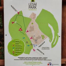
Educational Trail Lesní Park Klimkovice
3.6 km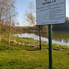
Bílovec Reservoir
4.2 km
Church of Holy Trinity
5.7 km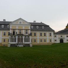
Zámek Kyjovice
3.5 km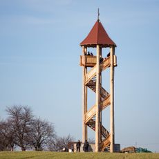
Slatina observation tower
4.6 km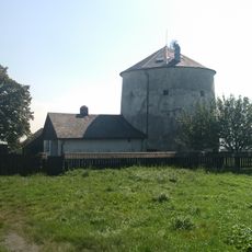
Větrný mlýn
2.8 km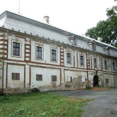
Bravantice Castle
5.4 km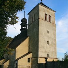
Kostel svatého Jiří
2.2 km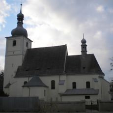
Church of Saint Valentine
5.4 km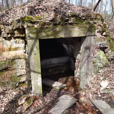
Stará vodárna
3.3 km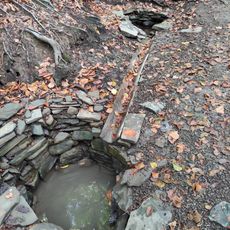
Liduščiny studánky
3.4 km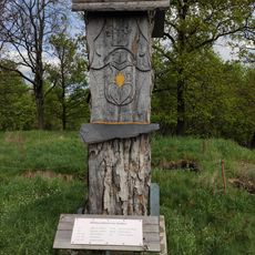
Bítov
818 m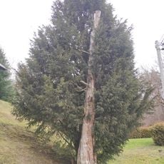
Yew in Bílovec
4.6 km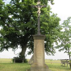
Hýlovský památník
5 km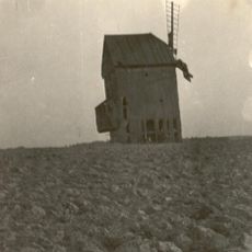
Větrný mlýn v Těškovicích
2.5 km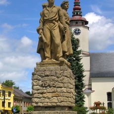
Pomník osvobození
5.3 km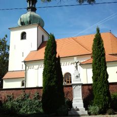
Church of Saint Bartholomew
2.9 km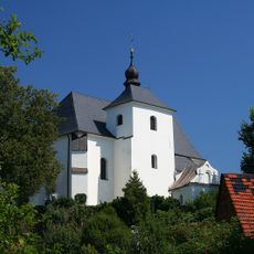
Church of Saint John the Baptist
5.4 km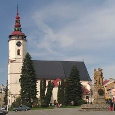
Church of Saint Nicholas
5.2 km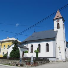
Church of the Assumption of the Virgin Mary
2.5 km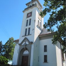
Church of Saints Cyril and Methodius
2.7 km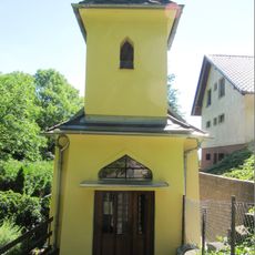
Chapel of Our Lady of Help
4.6 km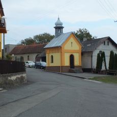
Chapel of Saint Matthew
2.1 km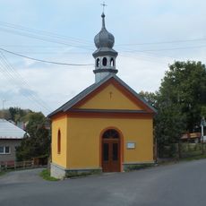
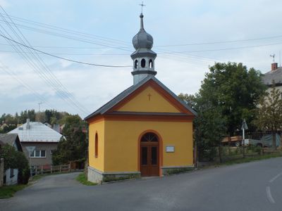
Chapel of Saint John of Nepomuk
18 m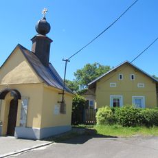
Chapel of Virgin Mary
4.3 km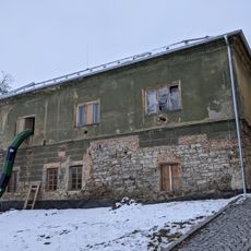
Pivovarská čp. 121
5.3 km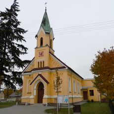
Chapel of Saint Vitus
3.6 km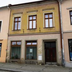
Městský dům Bílovec, Slezské náměstí č.p. 17/35
5.3 kmAvis
Vous avez visité ce lieu ? Touchez les étoiles pour le noter et partager votre expérience ou vos photos avec la communauté ! Essayez maintenant ! Vous pouvez annuler à tout moment.
Trouvez des trésors cachés à chaque coin de rue !
Des petits cafés pittoresques aux points de vue planqués, fuyez la foule et dénichez les lieux qui vous ressemblent vraiment. Notre app vous facilite la vie : recherche vocale, filtres malins, itinéraires optimisés et bons plans partagés par des voyageurs du monde entier. Téléchargez vite pour vivre l'aventure en version mobile !

Une approche inédite de la découverte touristique❞
— Le Figaro
Tous les lieux qui valent la peine d'être explorés❞
— France Info
Une excursion sur mesure en quelques clics❞
— 20 Minutes