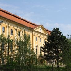
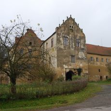
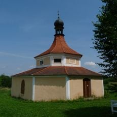
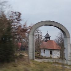
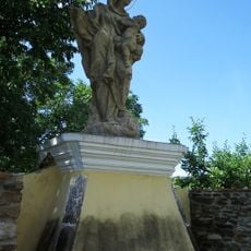
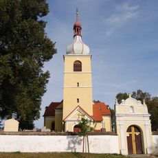
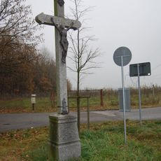
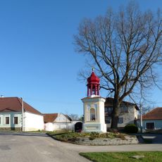
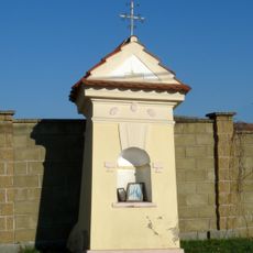
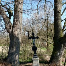
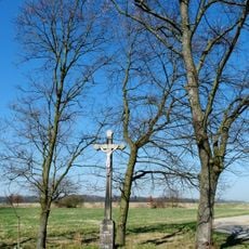
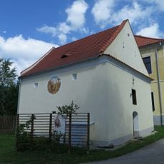
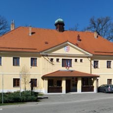
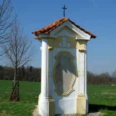
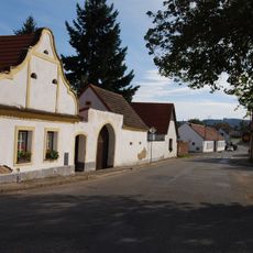
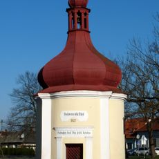
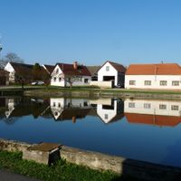
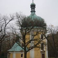
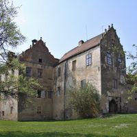
Libějovice, commune tchèque
Emplacement : Strakonice District
Emplacement : Водняны
Altitude : 434 m
Partage une frontière avec : Malovice, Dříteň, Vodňany, Truskovice, Chelčice
E-mail : libejovice@tiscali.cz
Site web : https://libejovice.cz
Coordonnées GPS : 49.11442,14.19337
Dernière mise à jour : 10 mars 2025 à 18:02
Church of the Name of the Virgin Mary (Lomec)
2.1 km
Nový zámek Libějovice
812 m
Zámek Libějovice
168 m
Libějovický park
338 m
Libějovická alej
959 m
Lípa Naděje
2.1 km
Divadlo Continuo
3.2 km
Chapel of Saint Mary Magdalene (Chelčice)
1.5 km
Kaple u Maloviček
3.5 km
Socha svatého Jana Nepomuckého
1.9 km
Kříž Františka Jandy
1.2 km
Socha Panny Marie
1.9 km
Church of Saint Martin
1.9 km
Kříž u odbočky na Lomec
2.4 km
Cultural monuments in Nestanice
1.4 km
Rectory
2.2 km
Kaplička u čp. 40
1.2 km
Kříž na jižním okraji Nestanic
1.5 km
Kříž jižně od Černěvsi
1.4 km
Sýpka u čp. 1
1.9 km
Former school (Nestanice)
2.2 km
Kříž ve školní zahradě na Lomci
2.2 km
Usedlost čp. 11
138 m
House No 26
23 m
Chapel-shrine of the Holy Trinity
740 m
Chapel of Saint John of Nepomuk
196 m
Usedlost čp. 37
1.9 km
Chapel of Saint Anthony of Padua
1.4 kmAvis
Vous avez visité ce lieu ? Touchez les étoiles pour le noter et partager votre expérience ou vos photos avec la communauté ! Essayez maintenant ! Vous pouvez annuler à tout moment.
Trouvez des trésors cachés à chaque coin de rue !
Des petits cafés pittoresques aux points de vue planqués, fuyez la foule et dénichez les lieux qui vous ressemblent vraiment. Notre app vous facilite la vie : recherche vocale, filtres malins, itinéraires optimisés et bons plans partagés par des voyageurs du monde entier. Téléchargez vite pour vivre l'aventure en version mobile !
Une approche inédite de la découverte touristique❞
— Le Figaro
Tous les lieux qui valent la peine d'être explorés❞
— France Info
Une excursion sur mesure en quelques clics❞
— 20 Minutes