
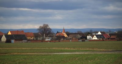
Císařov, commune tchèque
Emplacement : Přerov District
Emplacement : správní obvod obce s rozšířenou působností Přerov
Altitude : 201 m
Partage une frontière avec : Rokytnice, Troubky, Citov, Brodek u Přerova
E-mail : ou@cisarov.cz
Site web : http://cisarov.cz
Coordonnées GPS : 49.46605,17.35263
Dernière mise à jour : 8 mars 2025 à 13:32
Pivovar s vodním mlýnem
4 km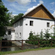
Watermill in Citov
2.5 km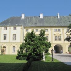
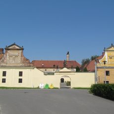
Rokytnice Castle
2.9 km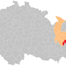
Přerov (klein district)
5 km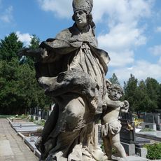
Socha svatého Amanda
3.9 km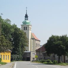
Church of Saint James the Greater
2.9 km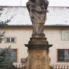
Socha svaté Anny Samétřetí
351 m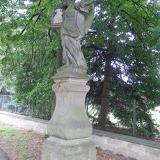
Socha anděla
5.2 km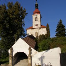
Church of the Assumption of the Virgin Mary
3.8 km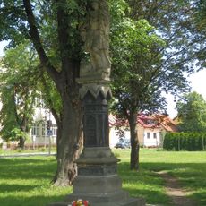
Socha svatého Floriána
3.8 km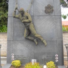
Pomník americkým letcům
3.9 km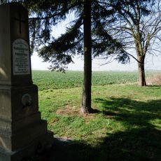
Pomník bojiště z roku 1866
4.6 km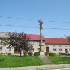
Sloup se sochou svatého Františka Xaverského
2.7 km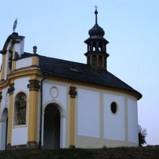
Chapel of Saint Francis Xavier
3.5 km
Usedlost čp. 45
354 m
Church of Saints Cyril and Methodius
4.2 km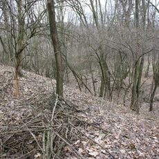
Hradiště
4.2 km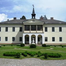
Citov
1.9 km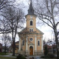
Church of Saint John the Baptist
2.2 km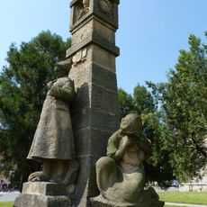
Pomník obětem 1. světové války
3.8 km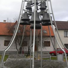
Zvonkohra na Masarykově náměstí v Brodku u Přerova
2.2 km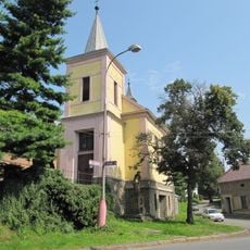
Chapel of the Exaltation of the Holy Cross
4.7 km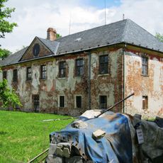
Zámek Nenakonice
5.1 km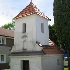
Chapel of Saint Anne
4.7 km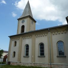
Church of Saint Margaret
3.8 km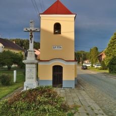
Chapel of Saint John of Nepomuk
4.9 km
Chapel of Saint John of Nepomuk
4.2 km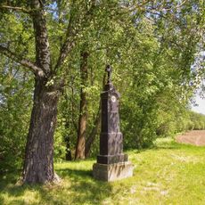
Kříž severně od Věrovan u silnice
5.4 kmAvis
Vous avez visité ce lieu ? Touchez les étoiles pour le noter et partager votre expérience ou vos photos avec la communauté ! Essayez maintenant ! Vous pouvez annuler à tout moment.
Trouvez des trésors cachés à chaque coin de rue !
Des petits cafés pittoresques aux points de vue planqués, fuyez la foule et dénichez les lieux qui vous ressemblent vraiment. Notre app vous facilite la vie : recherche vocale, filtres malins, itinéraires optimisés et bons plans partagés par des voyageurs du monde entier. Téléchargez vite pour vivre l'aventure en version mobile !

Une approche inédite de la découverte touristique❞
— Le Figaro
Tous les lieux qui valent la peine d'être explorés❞
— France Info
Une excursion sur mesure en quelques clics❞
— 20 Minutes