
Níhov, commune tchèque
Emplacement : Тишнов
Emplacement : Brno-Country District
Altitude : 474 m
Partage une frontière avec : Březí, Borovník, Katov, Rojetín, Lubné, Březské
E-mail : obec.nihov@cbox.cz
Site web : http://nihov.cz
Coordonnées GPS : 49.34173,16.25757
Dernière mise à jour : 8 mars 2025 à 16:35

Halda
1.6 km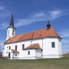
Church of Holy Name of Mary
2.9 km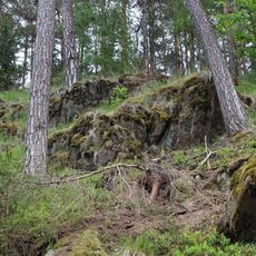
Rojetínský hadec
2.9 km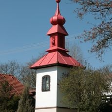
Bell tower
2.6 km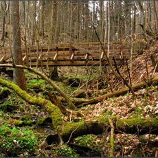
Na kutinách
2.7 km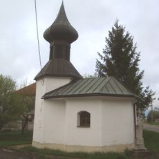
Kaple svaté Anny (Křižínkov)
2 km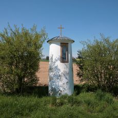
Boží muka
2.3 km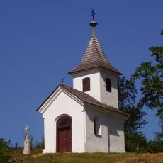
Chapel of Virgin Mary
2 km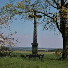
Krucifix
2.6 km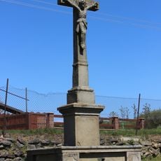
Wayside cross in Březské
1.9 km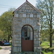
Chapel of Saint John of Nepomuk
2.6 km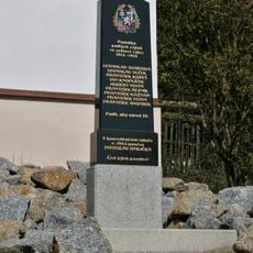
Památník obětí světových válek
2.6 km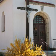
Kříž v Katově před kaplí
1.8 km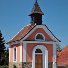
Chapel of the Assumption of the Virgin Mary
1.9 km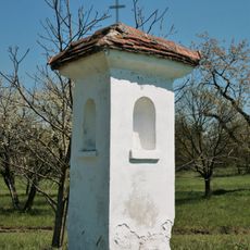
Column shrine in Křižínkov
2 km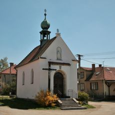
Chapel of the Nativity of the Virgin Mary
1.8 km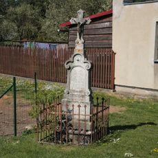
Kříž
2.4 km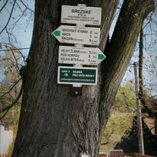
Rozcestník Březské
1.9 km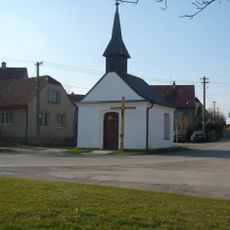
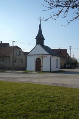
Chapel of Saint Wenceslaus
198 m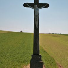
Wayside cross in Katov
2 km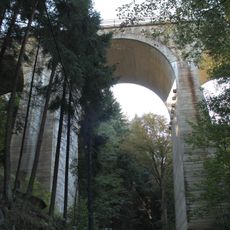
Railway bridge in Kutiny
2.9 km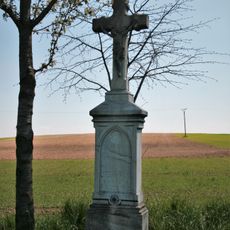
Wayside cross in Katov
2 km
Wayside cross in Katov
2.2 km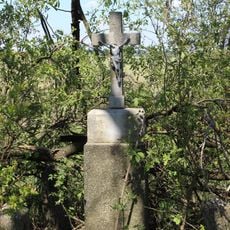
Kříž u Křižínkova
1.7 km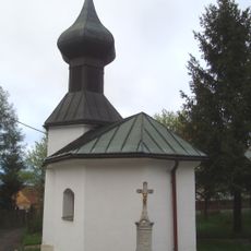
Kříž v Křižínkově
2 km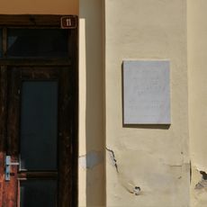
Pamětní deska Vojtěcha Luži
1.9 km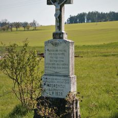
Kříž
3.2 km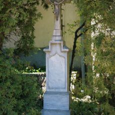
Wayside cross in Katov
1.9 kmAvis
Vous avez visité ce lieu ? Touchez les étoiles pour le noter et partager votre expérience ou vos photos avec la communauté ! Essayez maintenant ! Vous pouvez annuler à tout moment.
Trouvez des trésors cachés à chaque coin de rue !
Des petits cafés pittoresques aux points de vue planqués, fuyez la foule et dénichez les lieux qui vous ressemblent vraiment. Notre app vous facilite la vie : recherche vocale, filtres malins, itinéraires optimisés et bons plans partagés par des voyageurs du monde entier. Téléchargez vite pour vivre l'aventure en version mobile !

Une approche inédite de la découverte touristique❞
— Le Figaro
Tous les lieux qui valent la peine d'être explorés❞
— France Info
Une excursion sur mesure en quelques clics❞
— 20 Minutes