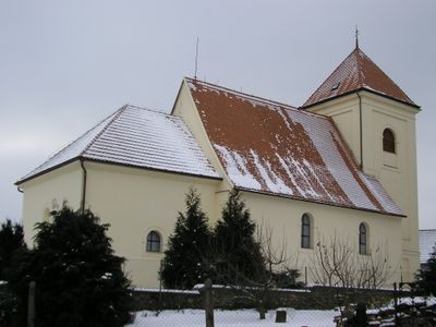
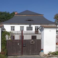
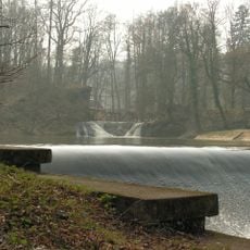
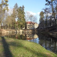
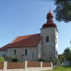
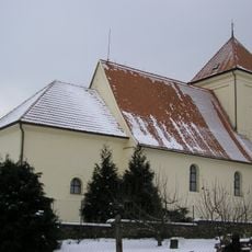
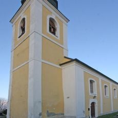
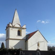
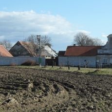
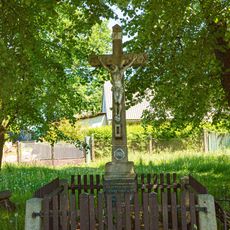
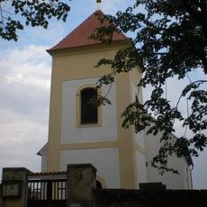
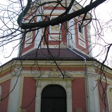
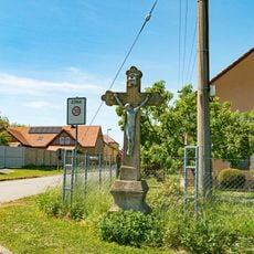
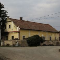
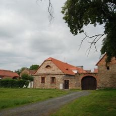
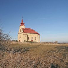
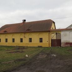
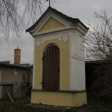
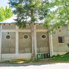
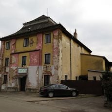
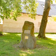
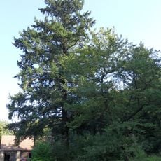
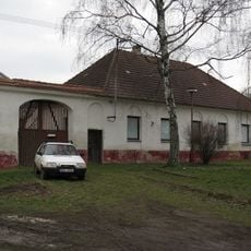
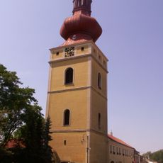
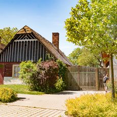
Bratčice, commune tchèque
Emplacement : Kutná Hora District
Emplacement : Часлаў
Altitude : 318 m
Partage une frontière avec : Podmoky, Okřesaneč, Vlkaneč, Potěhy, Hostovlice, Horky, Adamov
E-mail : ou.bratcice@seznam.cz
Site web : http://bratcice.cz
Coordonnées GPS : 49.85527,15.43043
Dernière mise à jour : 4 mars 2025 à 06:35
Výklenková kaplička Panny Marie
665 m
Hostačov
4.5 km
Tupadly Castle
2.6 km
Church of Saint Godehard (Potěhy)
1.6 km
Watermill in Bratčice
326 m
Ronovská tabule
3.7 km
Zámecký park Hostačov
4.4 km
Church of Saint Wenceslaus (Přibyslavice)
2.2 km
Church of Saint Wenceslaus
87 m
Church of Saint Wenceslaus in Horky
1.9 km
Church of Saint Bartholomew
3.1 km
Zájezdní hostinec
2.6 km
Kříž
4.8 km
Church of All Saints
4.7 km
Church of the Assumption of the Virgin Mary
3.4 km
Kříž
4.7 km
Usedlost čp. 62
2.8 km
Usedlost čp. 11
2 km
Church of the Name of the Virgin Mary
2.5 km
Usedlost čp. 3
1.7 km
Výklenková kaplička
2.3 km
Konírna zámku Hostačov
4.5 km
Hospoda
2.4 km
Pomník
5 km
Douglaska v Zálesí
954 m
Usedlost čp. 2
1.7 km
Zvonice v Golčově Jeníkově
5.2 km
Roubený dům
5.1 kmVous avez visité ce lieu ? Touchez les étoiles pour le noter et partager votre expérience ou vos photos avec la communauté ! Essayez maintenant ! Vous pouvez annuler à tout moment.
Trouvez des trésors cachés à chaque coin de rue !
Des petits cafés pittoresques aux points de vue planqués, fuyez la foule et dénichez les lieux qui vous ressemblent vraiment. Notre app vous facilite la vie : recherche vocale, filtres malins, itinéraires optimisés et bons plans partagés par des voyageurs du monde entier. Téléchargez vite pour vivre l'aventure en version mobile !
Une approche inédite de la découverte touristique❞
— Le Figaro
Tous les lieux qui valent la peine d'être explorés❞
— France Info
Une excursion sur mesure en quelques clics❞
— 20 Minutes