
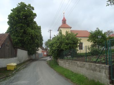
Braníškov, commune tchèque
Emplacement : Тишнов
Emplacement : Brno-Country District
Altitude : 486 m
Partage une frontière avec : Svatoslav, Maršov, Deblín, Lažánky
E-mail : braniskov@iol.cz
Site web : http://braniskov.cz
Coordonnées GPS : 49.29440,16.34568
Dernière mise à jour : 3 mars 2025 à 13:45
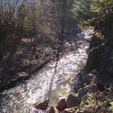
Nature park Údolí Bílého potoka
4.2 km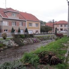
Bílý potok
3.6 km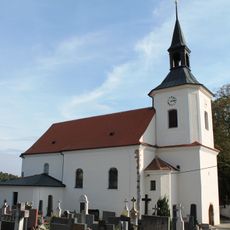
Church of Saint Nicholas
3.1 km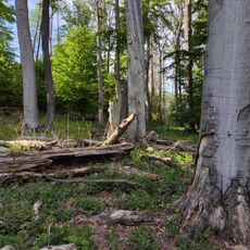
Slunná
3.1 km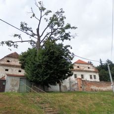
Vohančice Castle
4.7 km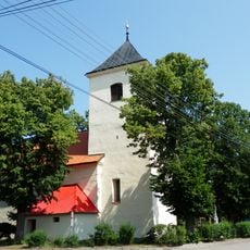
Church of the Assumption of the Virgin Mary (Svatoslav)
2.8 km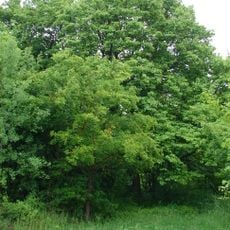
Jeřáb břek u staré vápenky
2.5 km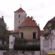
Church of Holy Trinity
3.5 km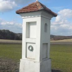
Boží muka
2.9 km
Chapel of the Assumption
4.5 km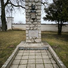
Pomník vojákům Rudé armády
3.6 km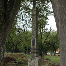
Boží muka
3.4 km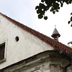
Rychta
3.2 km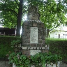
Pomník padlým ve světových válkách
147 m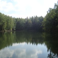
Maršovské jezírko
2.2 km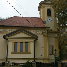
Chapel of the Assumption
1.6 km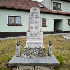
Pomník obětem první světové války
3.5 km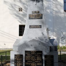
Pomník obětem první světové války
3.1 km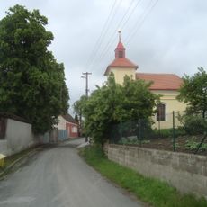
Chapel of Saints Cyril and Methodius
7 m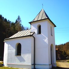
Chapel of Our Lady of Sorrows
3.1 km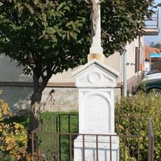
Kříž
2.9 km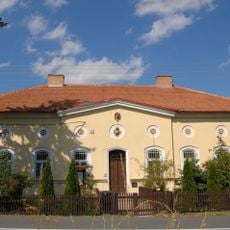
Myslivna
2.3 km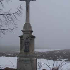
Kříž
664 m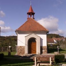
Chapel of Saint John of Nepomuk
4.1 km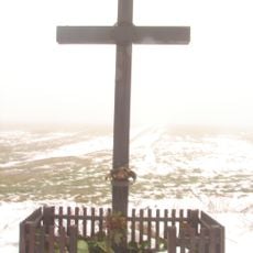
Kříž
440 m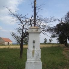
Kříž v Lažánkách
3.8 km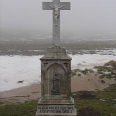
Kříž
215 m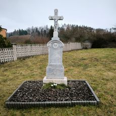
Kříž v Holasicích
4.5 kmVous avez visité ce lieu ? Touchez les étoiles pour le noter et partager votre expérience ou vos photos avec la communauté ! Essayez maintenant ! Vous pouvez annuler à tout moment.
Trouvez des trésors cachés à chaque coin de rue !
Des petits cafés pittoresques aux points de vue planqués, fuyez la foule et dénichez les lieux qui vous ressemblent vraiment. Notre app vous facilite la vie : recherche vocale, filtres malins, itinéraires optimisés et bons plans partagés par des voyageurs du monde entier. Téléchargez vite pour vivre l'aventure en version mobile !

Une approche inédite de la découverte touristique❞
— Le Figaro
Tous les lieux qui valent la peine d'être explorés❞
— France Info
Une excursion sur mesure en quelques clics❞
— 20 Minutes