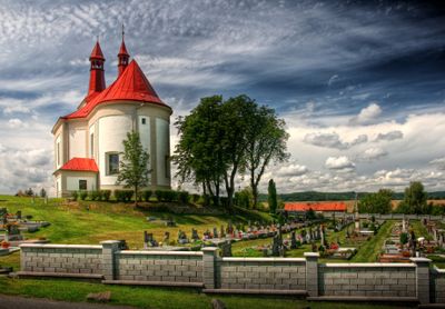
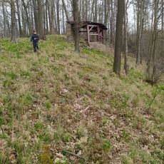
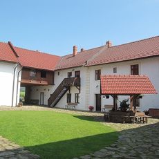
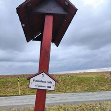
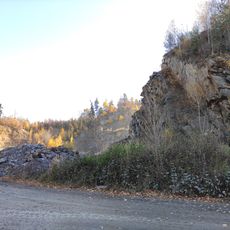
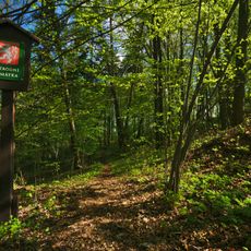
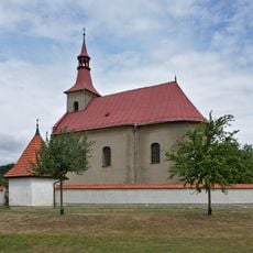
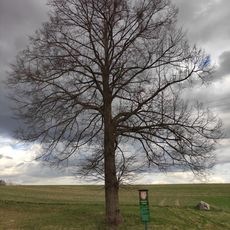
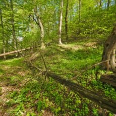
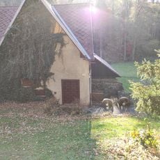
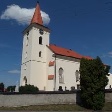
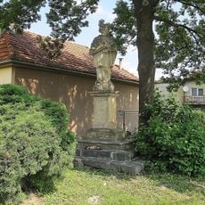
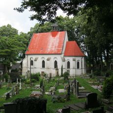
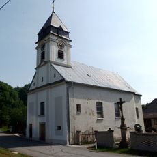
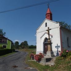
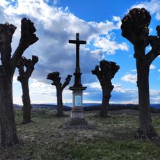
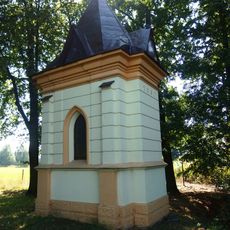
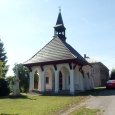
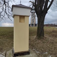
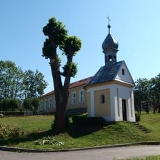
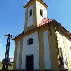
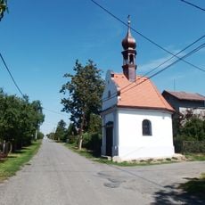
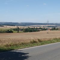
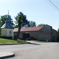
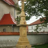
Bělotín, commune tchèque
Emplacement : Přerov District
Emplacement : Hranice (klein district)
Altitude : 297 m
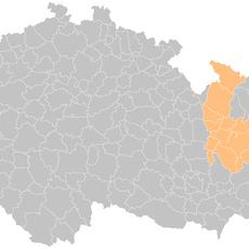
Partage une frontière avec : Polom, Jindřichov, Vražné, Odry, Jeseník nad Odrou, Špičky, Střítež nad Ludinou, Černotín, Hranice
E-mail : oubelotin@zeal.cz
Site web : http://belotin.cz
Coordonnées GPS : 49.59120,17.80657
Dernière mise à jour : 16 avril 2025 à 11:56
Sculpture of drainage divide Black-Baltic sea in Bělotín
2.7 km
Observation Tower Blahutovice
5.2 km
Zvonice
6.5 km
Hraběnčina vyhlídka
3.7 km
Birthplace of Gregor Mendel
3.8 km
Hranice (klein district)
4.9 km
Veselská rozhledna
5.8 km
Františkova cesta
4.8 km
Church of Saint George
446 m
Kamenolom Nejdek
3.6 km
Nad kostelíčkem
5.6 km
Kostel svatého Urbana
2.8 km
Lípa porozumění
5.1 km
V oboře
4.7 km
Čočkův mlýn
5.2 km
Church of Saints Simon and Jude
4.4 km
Socha svatého Jana Nepomuckého
6.1 km
Church of the Nativity of the Virgin Mary
5.7 km
Church of Holy Trinity
5.3 km
Chapel of Our Lady of Sorrows
5.3 km
Wayside cross by the road to Kunčice (Špičky)
4.1 km
Chapel of Our Lady of Lourdes
4.1 km
Chapel of the Visitation
4.5 km
Boží muka Blahutovice
5.1 km
Chapel of Saint George
1.9 km
Chapel of Saint Catherine
2.8 km
Chapel of Saint Wenceslaus
5.7 km
Quarry in Hranice
5.2 kmVous avez visité ce lieu ? Touchez les étoiles pour le noter et partager votre expérience ou vos photos avec la communauté ! Essayez maintenant ! Vous pouvez annuler à tout moment.
Trouvez des trésors cachés à chaque coin de rue !
Des petits cafés pittoresques aux points de vue planqués, fuyez la foule et dénichez les lieux qui vous ressemblent vraiment. Notre app vous facilite la vie : recherche vocale, filtres malins, itinéraires optimisés et bons plans partagés par des voyageurs du monde entier. Téléchargez vite pour vivre l'aventure en version mobile !
Une approche inédite de la découverte touristique❞
— Le Figaro
Tous les lieux qui valent la peine d'être explorés❞
— France Info
Une excursion sur mesure en quelques clics❞
— 20 Minutes