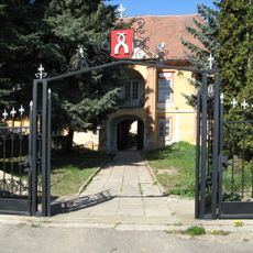
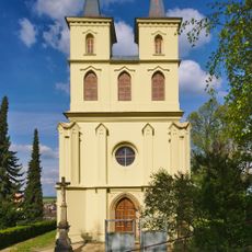
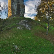
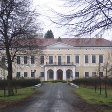
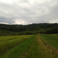
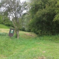
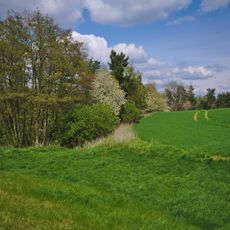
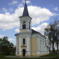
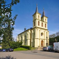
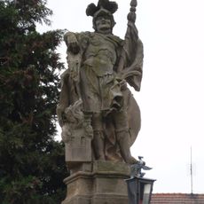
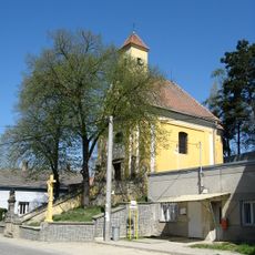
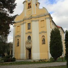
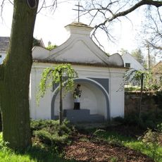
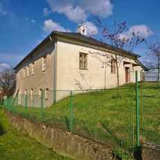
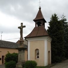
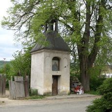
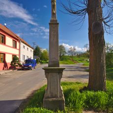
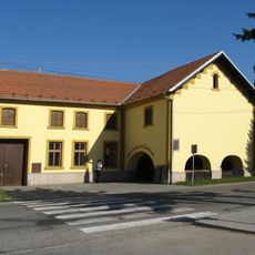
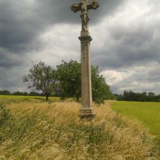
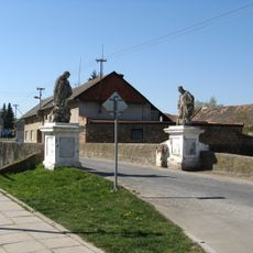
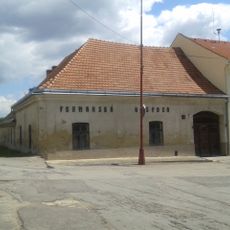
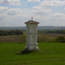
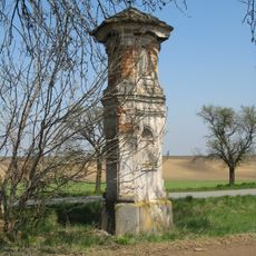
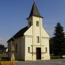
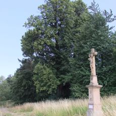
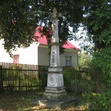
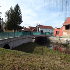
Brodek u Prostějova, commune tchèque
Emplacement : Prostějov District
Emplacement : upravni občinski okoliš z razširjenimi pristojnostmi Prostějov
Altitude : 260 m
Partage une frontière avec : Otaslavice, Želeč, Hradčany-Kobeřice, Ondratice
E-mail : obec@brodek.cz
Site web : http://brodek.cz
Coordonnées GPS : 49.36998,17.09008
Dernière mise à jour : 2 mars 2025 à 21:49
Dobromilice Castle
3.5 km
Otaslavice – kostel
2.3 km
Dolní hrad
2.5 km
Zámek Brodek u Prostějova
573 m
Pod Obrovou nohou
3.1 km
Kopaniny
3.2 km
Blátka
4 km
Church of the Nativity of the Virgin Mary
4.6 km
Church of Saint Michael (Otaslavice)
2.3 km
Socha svatého Floriána
4.8 km
Church of Our Lady of Sorrows
1.7 km
Church of the Exaltation of the Holy Cross
36 m
Chapel of Saint John of Nepomuk
2.8 km
Fara
2.3 km
Krucifix
16 m
Zvonice
2.1 km
Kaplička se zvonicí
1.9 km
Krucifix
1.9 km
Usedlost čp. 64 se žudrem
92 m
Krucifix
4.1 km
Bridge in Dobromilice
3.7 km
Zájezdní hostinec
4.6 km
Boží muka
5.3 km
Boží muka
3.8 km
Kaple Blahoslavené Panny Marie
2.1 km
Dobrochovská lípa
1.7 km
Krucifix
4.5 km
Bridge over the Brodečka in Hradčany
2.9 kmAvis
Vous avez visité ce lieu ? Touchez les étoiles pour le noter et partager votre expérience ou vos photos avec la communauté ! Essayez maintenant ! Vous pouvez annuler à tout moment.
Trouvez des trésors cachés à chaque coin de rue !
Des petits cafés pittoresques aux points de vue planqués, fuyez la foule et dénichez les lieux qui vous ressemblent vraiment. Notre app vous facilite la vie : recherche vocale, filtres malins, itinéraires optimisés et bons plans partagés par des voyageurs du monde entier. Téléchargez vite pour vivre l'aventure en version mobile !
Une approche inédite de la découverte touristique❞
— Le Figaro
Tous les lieux qui valent la peine d'être explorés❞
— France Info
Une excursion sur mesure en quelques clics❞
— 20 Minutes